Karas property guide
Property Guide to Karas, ǁKaras Region, Namibia
Introduction
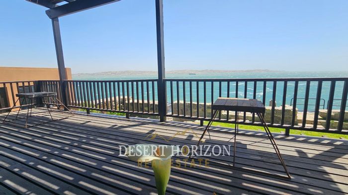
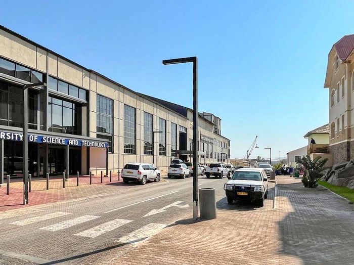
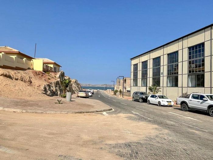
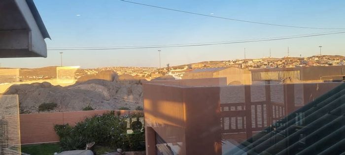
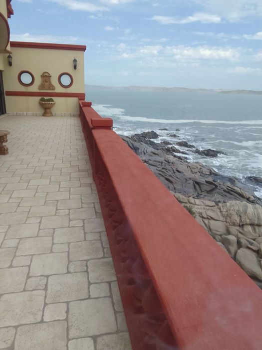
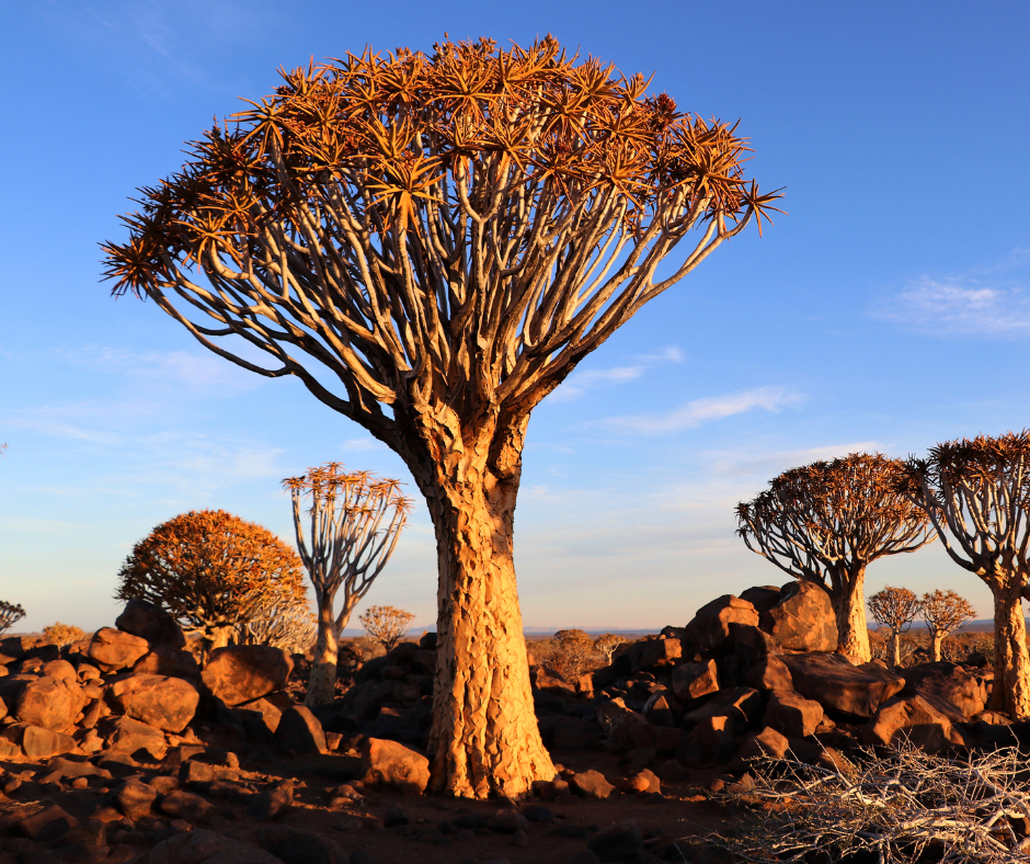
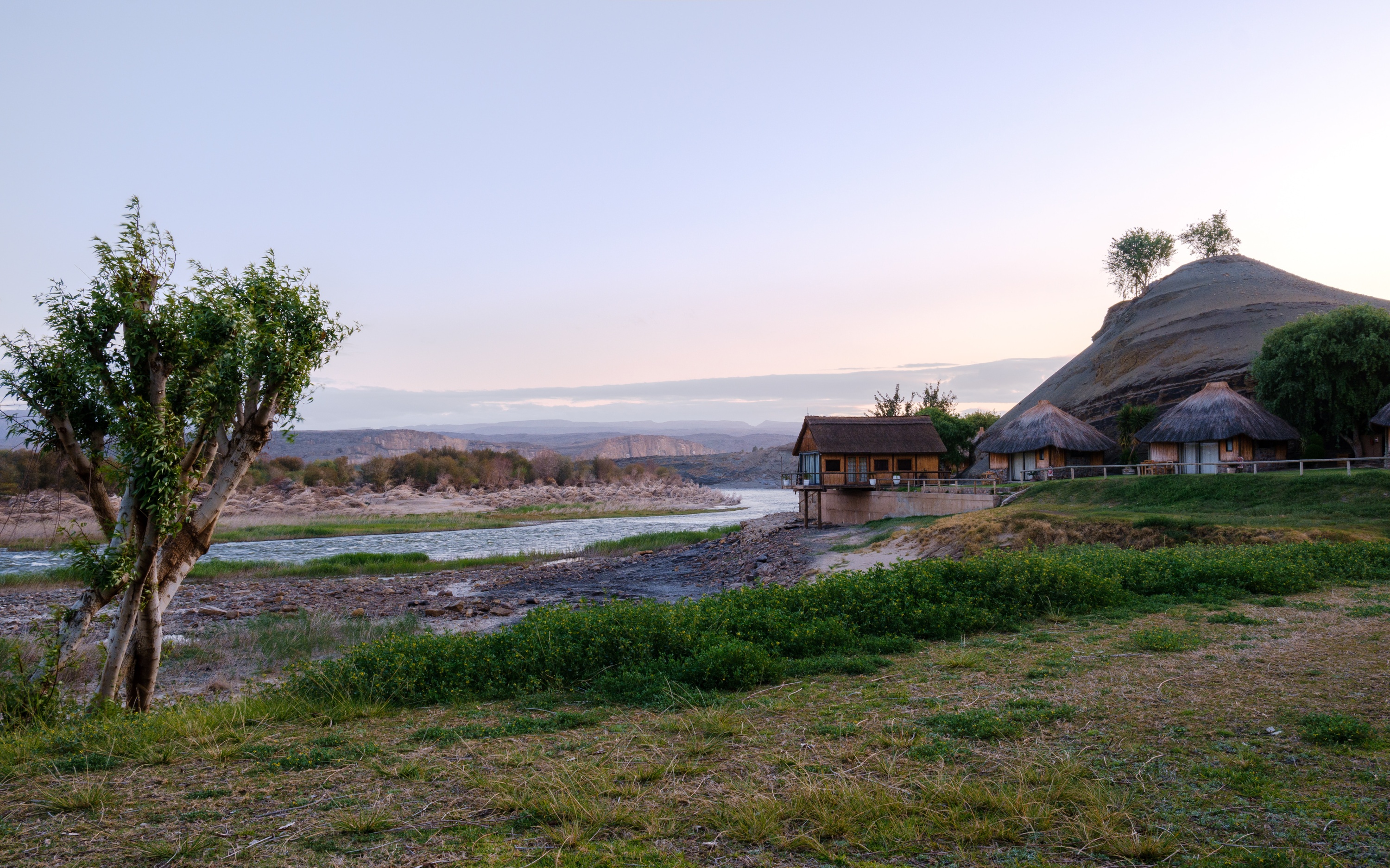
Karas, within the ǁKaras Region of southern Namibia, is known for wide-open desert landscapes, historic coastal towns, and key cross-border links to South Africa. Anchored by Keetmanshoop as the administrative centre, with Lüderitz and Oranjemund on the Atlantic side, the area blends tourism, mining, logistics, and agriculture. Buyers value Karas for comparatively accessible pricing, strong transport corridors, and lifestyle variety ranging from quiet inland suburbs to character-filled coastal neighbourhoods.
Location and Accessibility
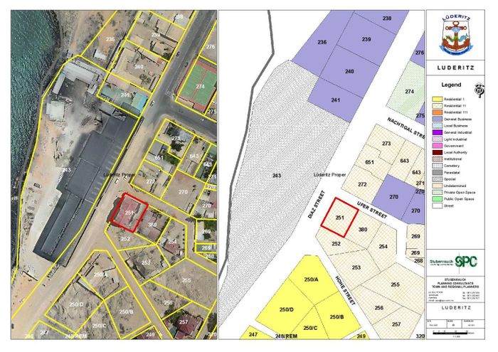
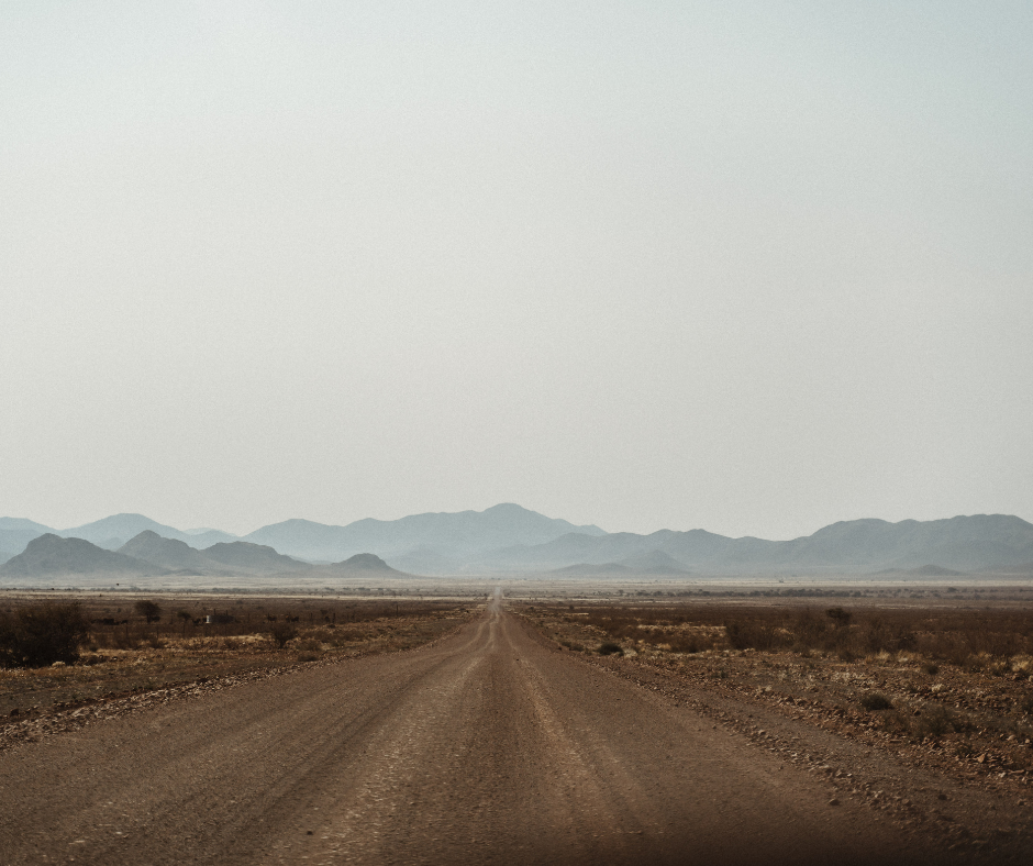
The ǁKaras Region lies at Namibia’s southern tip, with Keetmanshoop about 500 km south of Windhoek on the B1 national road. The B4 links Keetmanshoop to Lüderitz on the coast, while the B3 heads east to the Ariamsvlei/Nakop border post with South Africa. The B1 also reaches the Noordoewer/Vioolsdrift crossing along the Orange River. Regional airports at Keetmanshoop, Lüderitz, and Oranjemund handle domestic connections and charters. Freight rail serves Keetmanshoop, and a bridge now connects Oranjemund with Alexander Bay in South Africa.
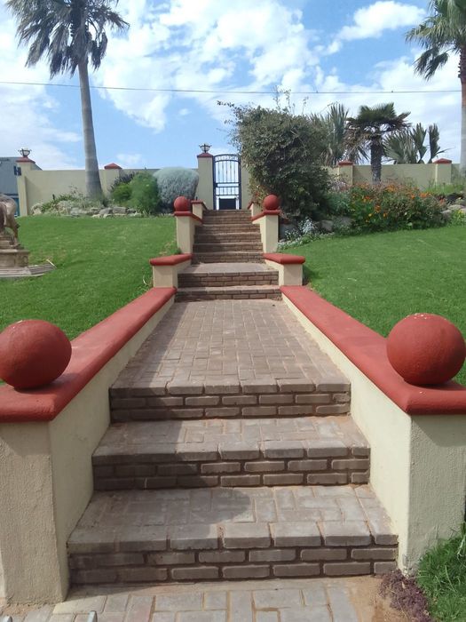
Lifestyle and Amenities
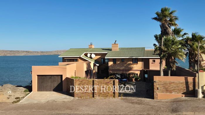
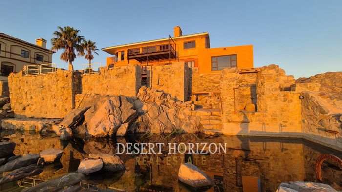
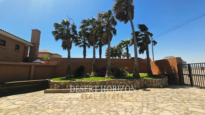
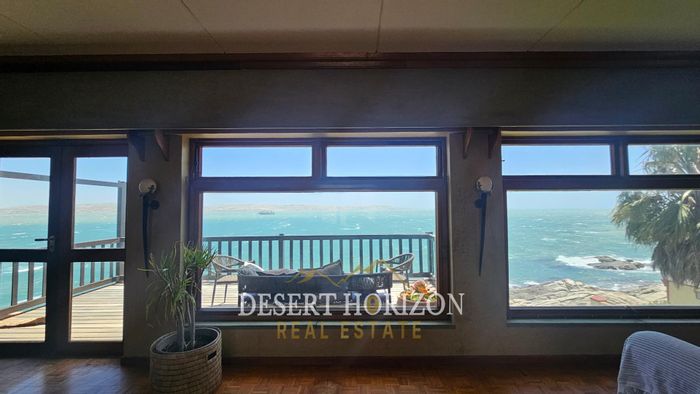
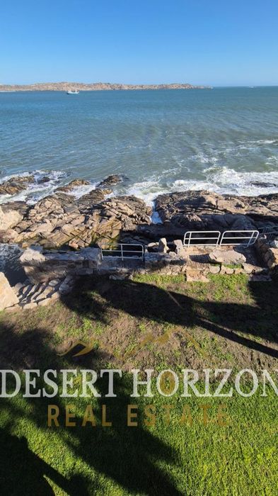
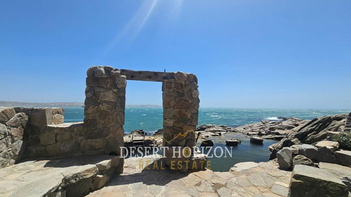
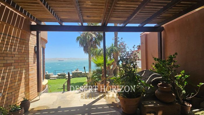
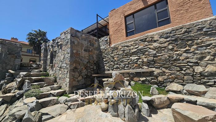
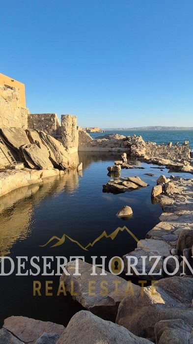
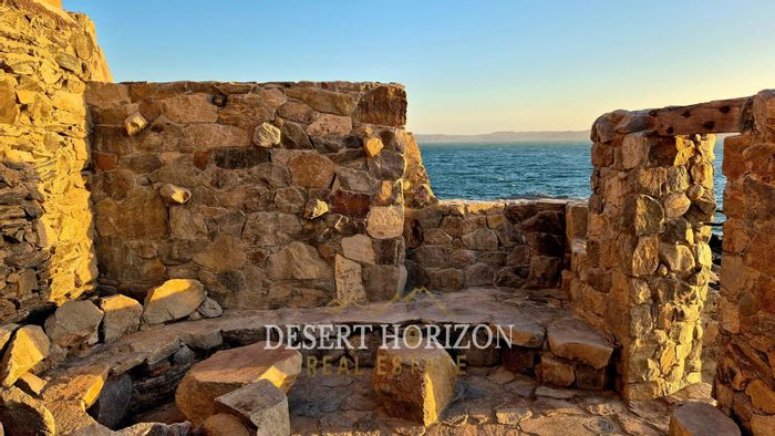
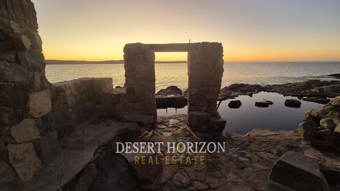
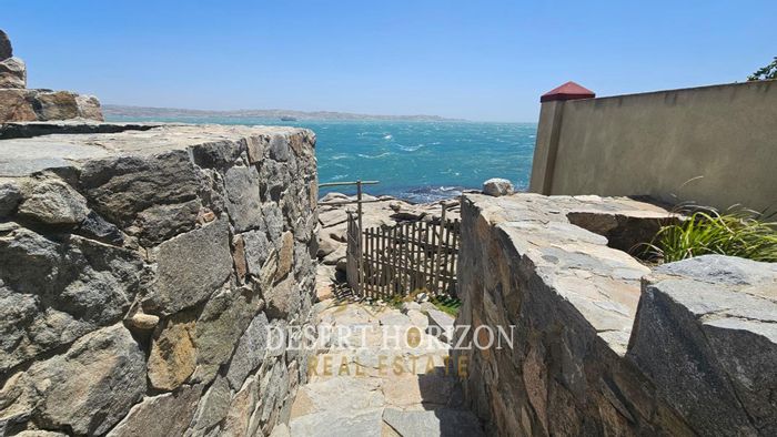
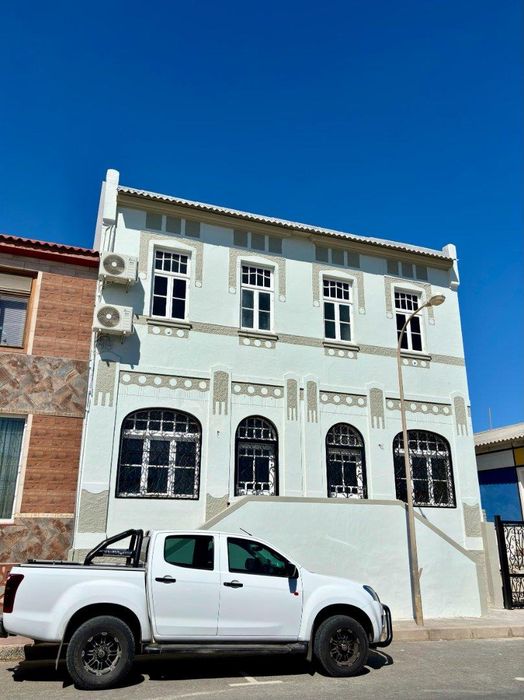
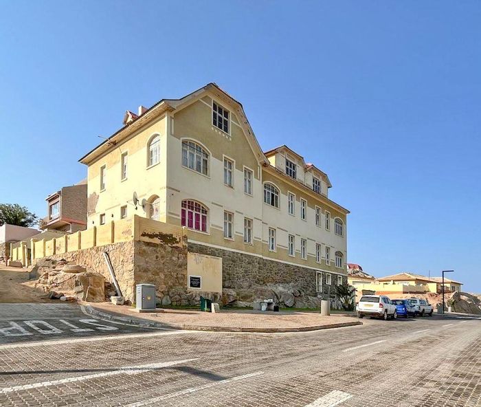
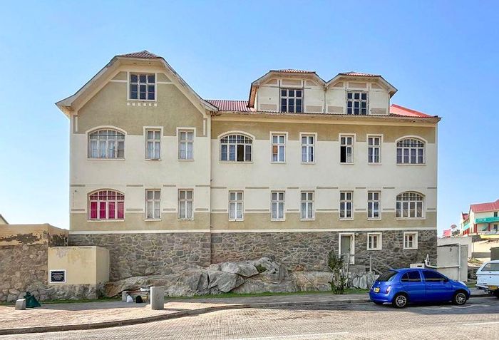
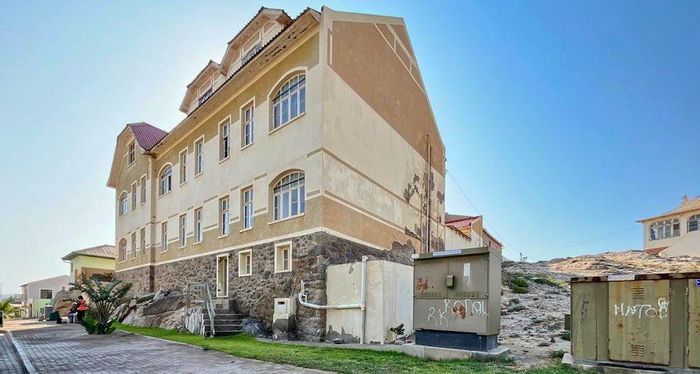
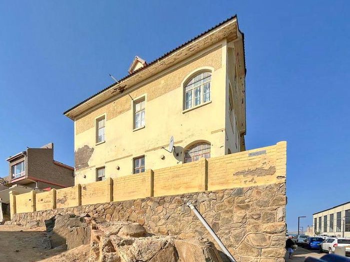
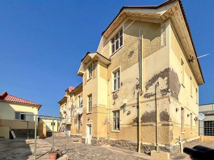
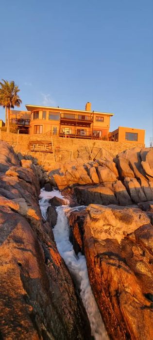
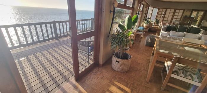
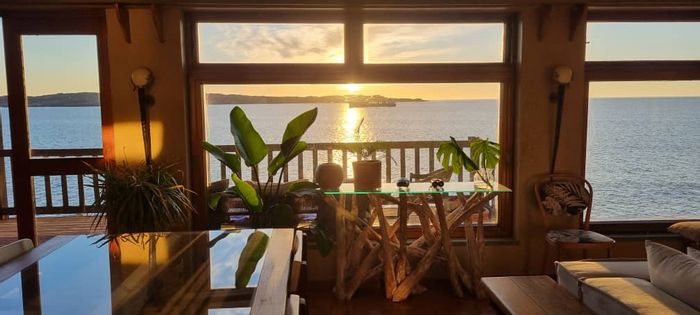
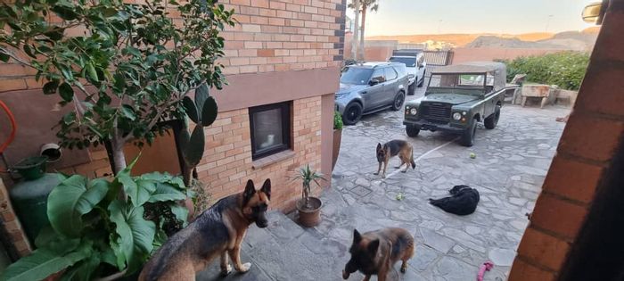
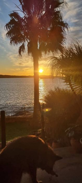
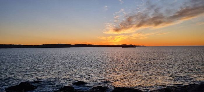
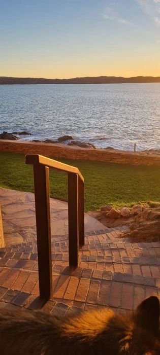
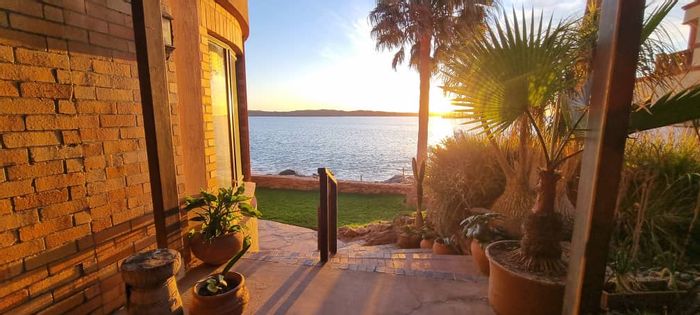
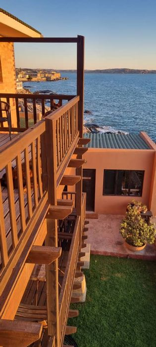
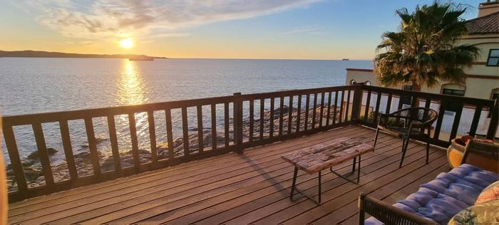
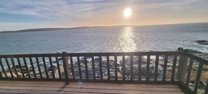
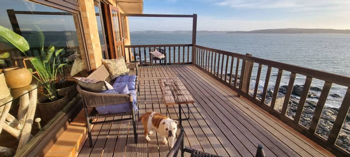
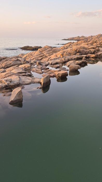
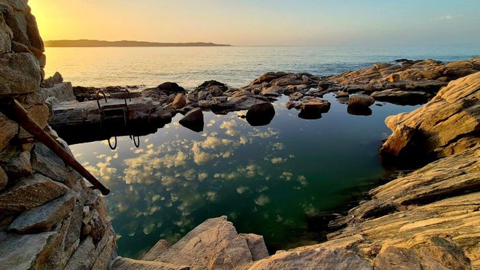
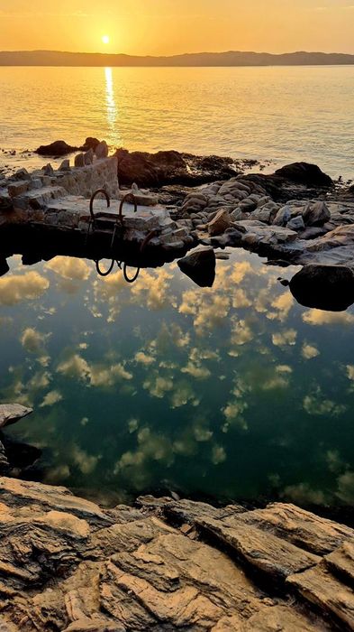
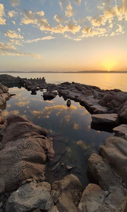
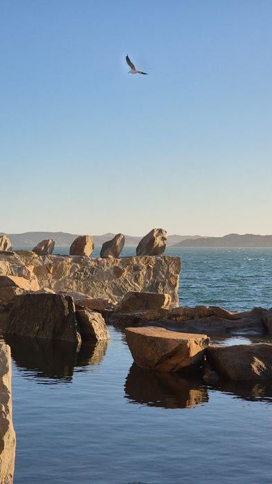
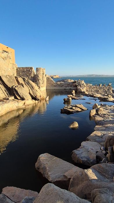
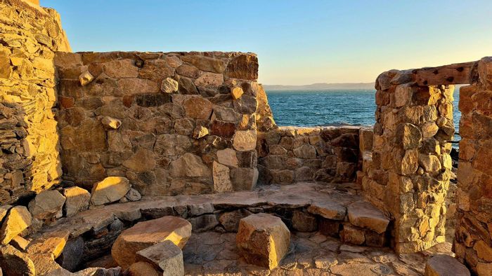
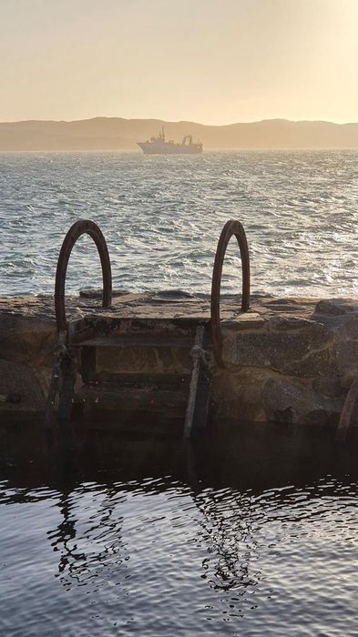
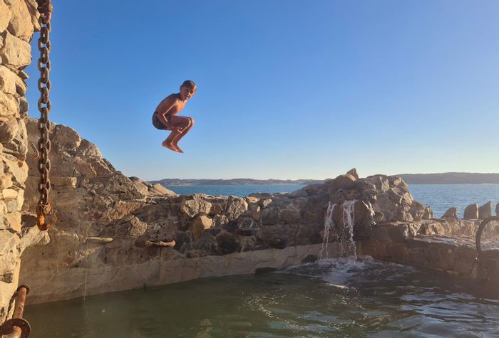
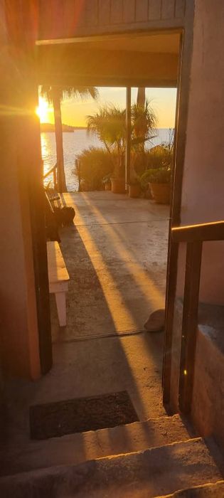
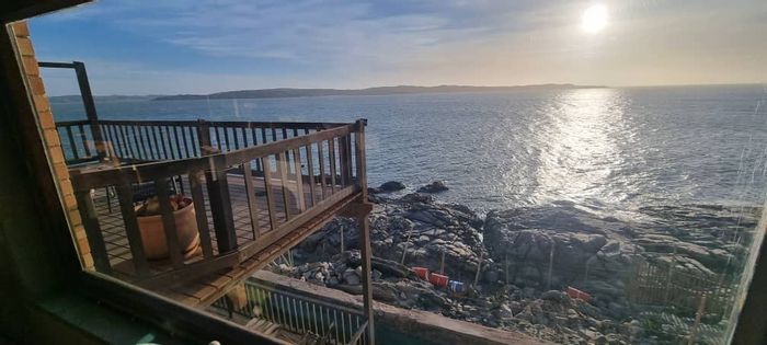
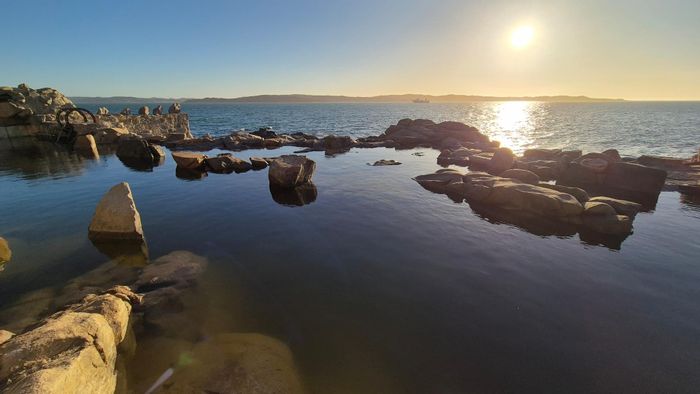
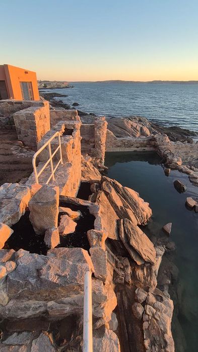
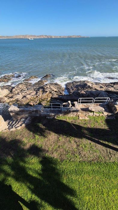
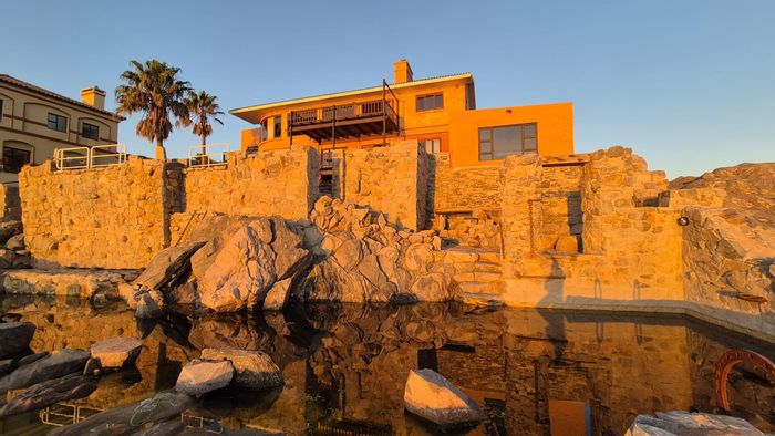
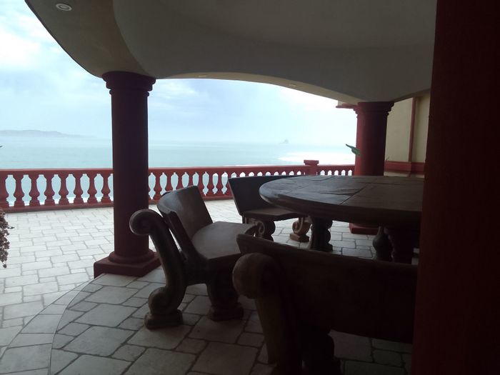
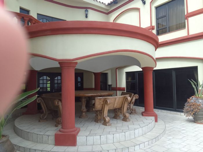
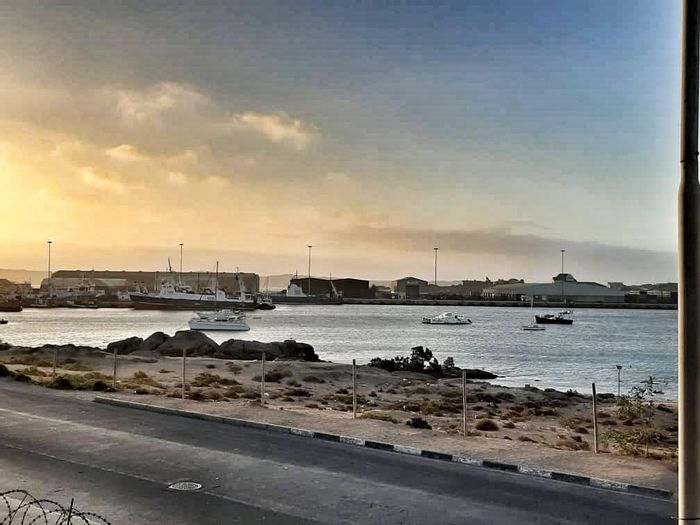
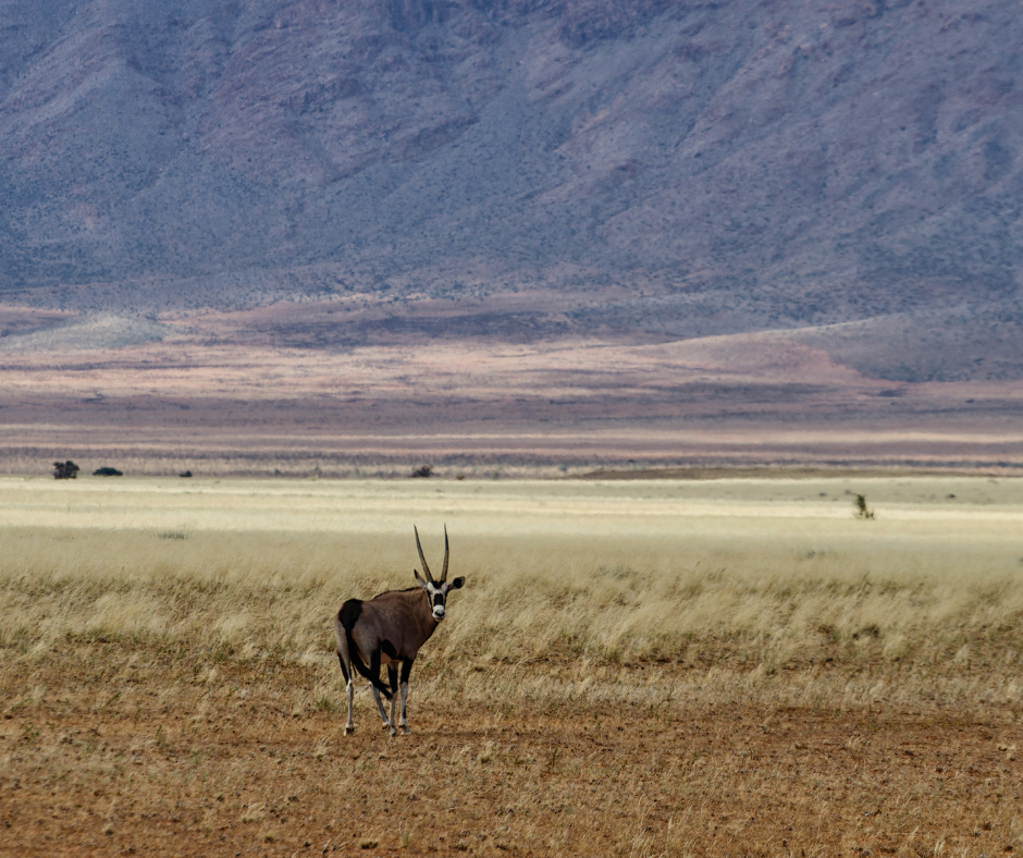
Karas offers a practical, outdoors-oriented lifestyle. Keetmanshoop provides core amenities, including supermarkets, government services, schools, and a district hospital, with additional facilities in Lüderitz and Oranjemund. Education options span public and private schools and vocational training. Healthcare is available via district hospitals and clinics, while day-to-day shopping is covered by national retailers and local businesses. Leisure is a standout: the Fish River Canyon and /Ai-/Ais Hot Springs offer hiking and thermal pools; Lüderitz features heritage architecture, coastal drives to Diaz Point, and marine excursions; and guided access to Tsau //Khaeb (Sperrgebiet) National Park reveals unique desert biodiversity.
Upcoming Events
The region hosts several recognised events that draw visitors and support local business. The Lüderitz Crayfish Festival typically takes place annually, celebrating the town’s maritime heritage with seafood, music, and craft stalls. The Lüderitz Speed Challenge attracts international kitesurfing and windsurfing athletes during the windy season. Inland, agricultural and trade expos in Keetmanshoop showcase farming, small businesses, and cultural performances, reinforcing the role of Karas as a hub for both tourism and regional commerce.
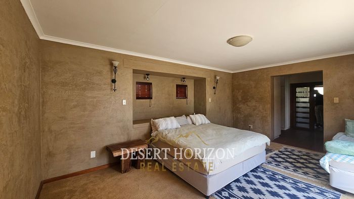
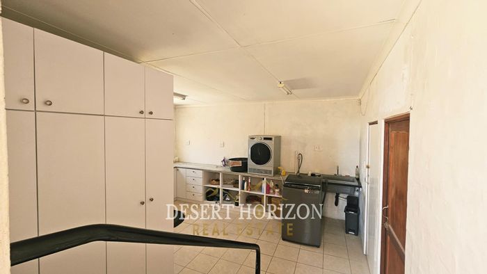
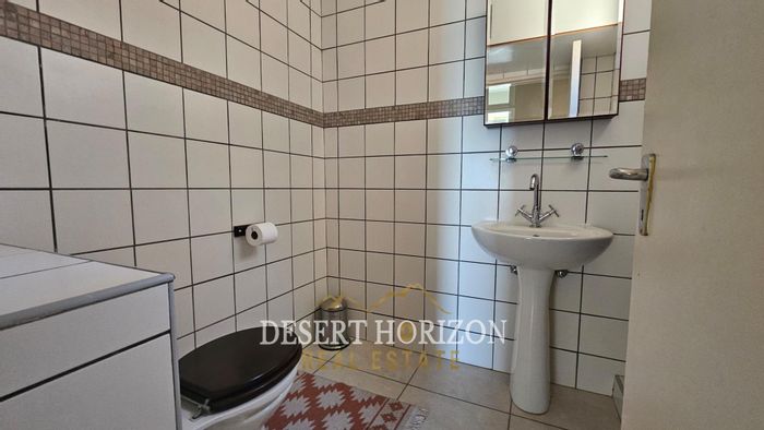
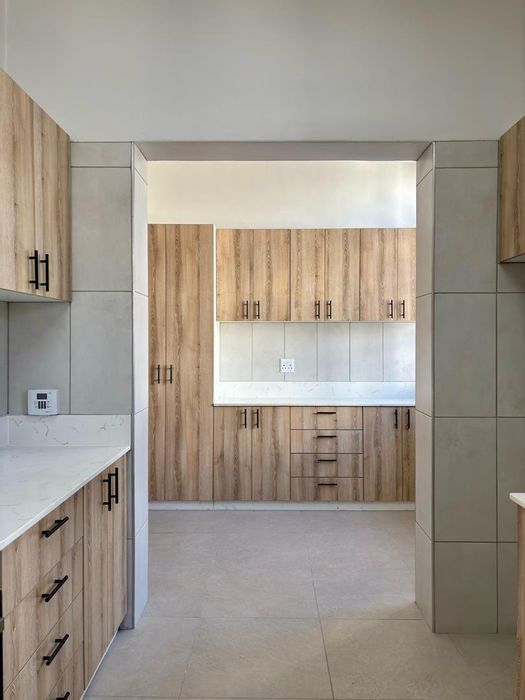
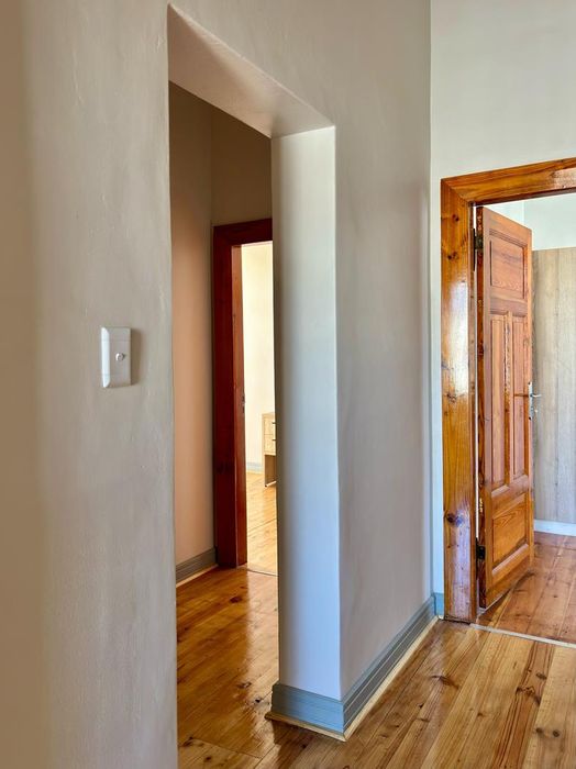
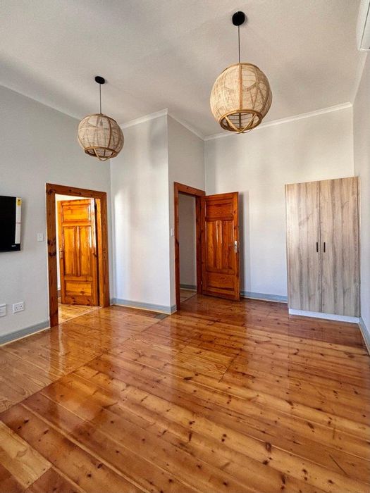
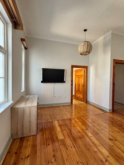
Property Market Overview
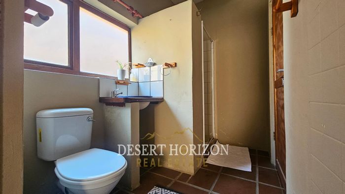
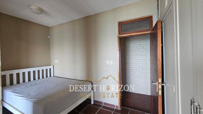
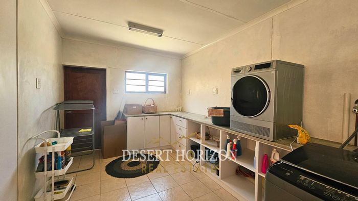
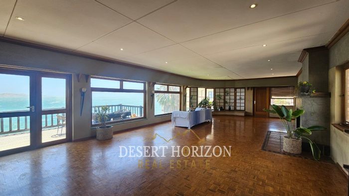
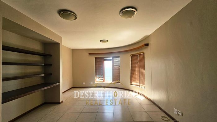
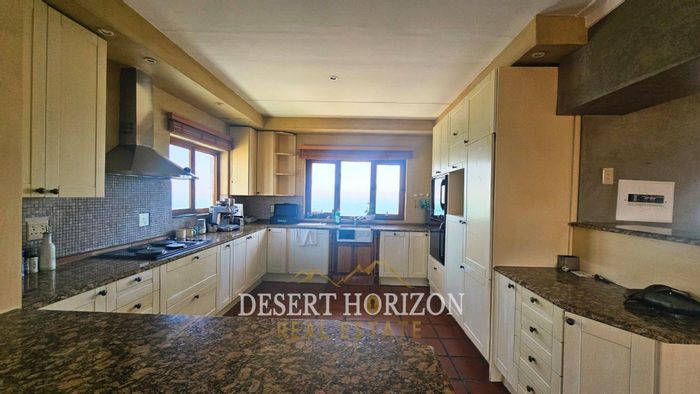
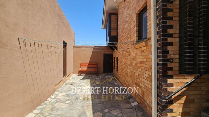
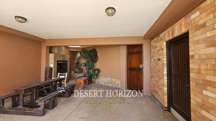
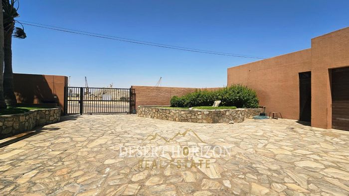
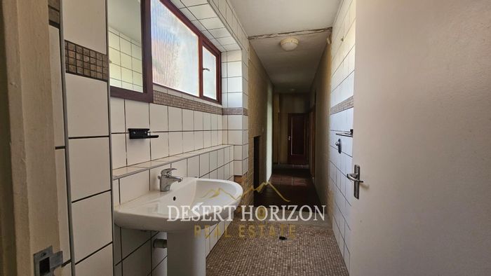
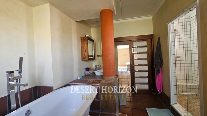
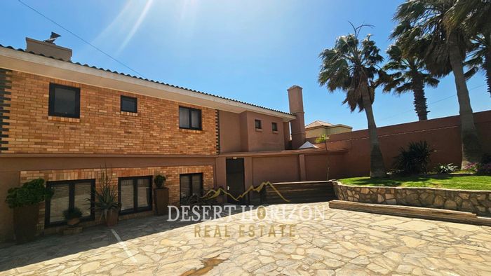
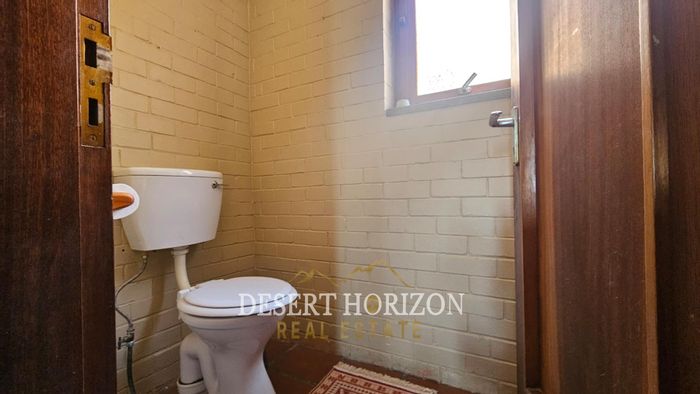
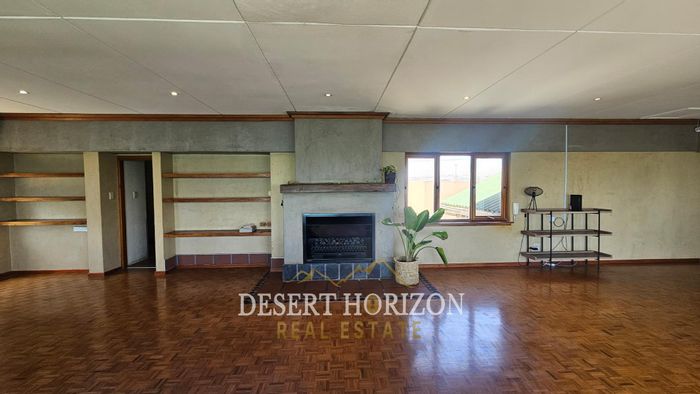
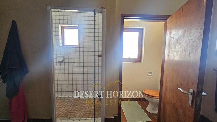
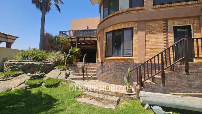
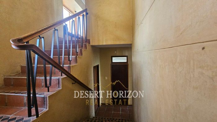
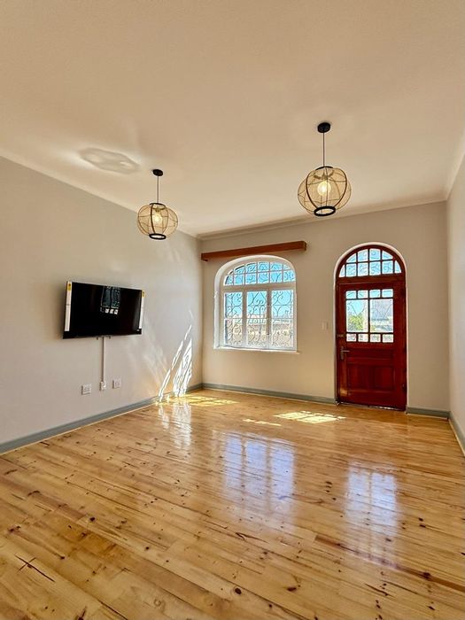
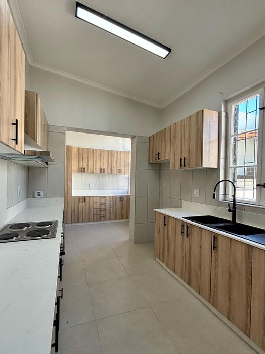
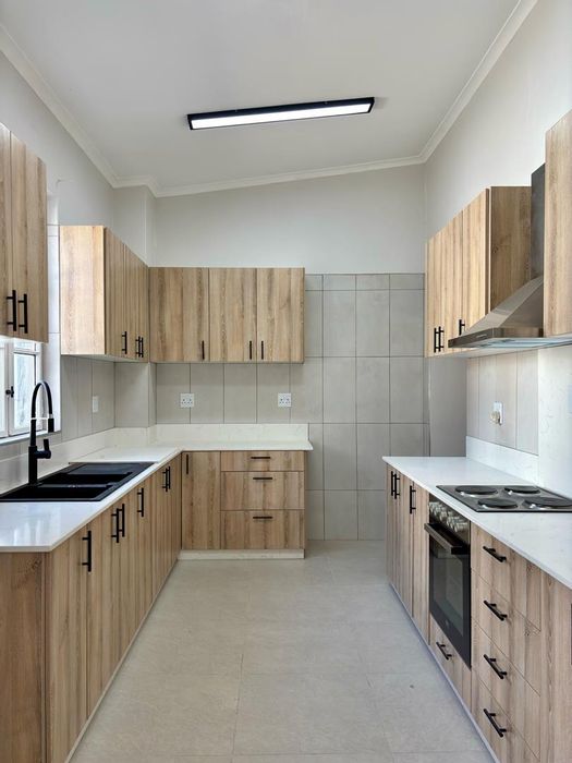
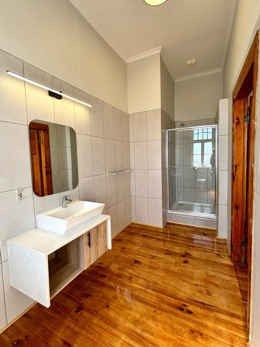
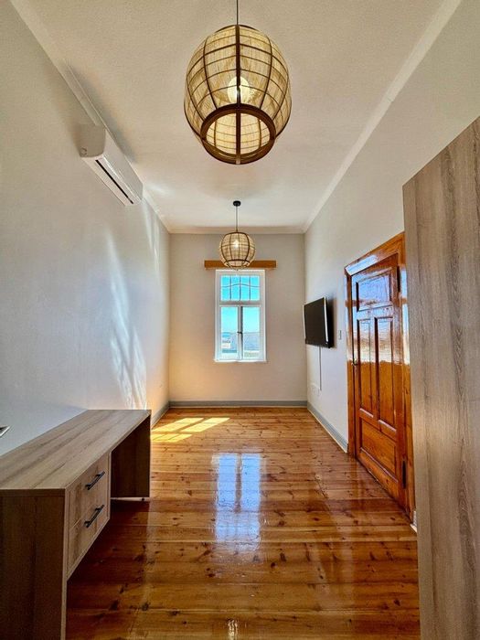
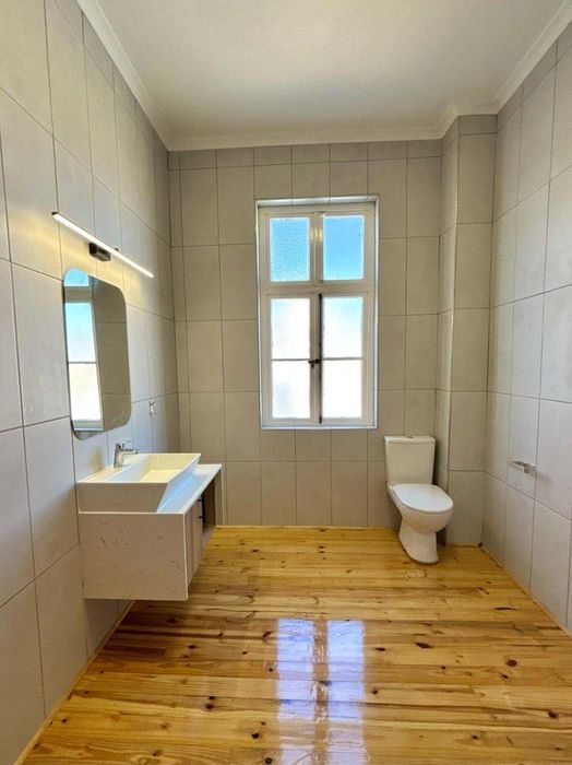
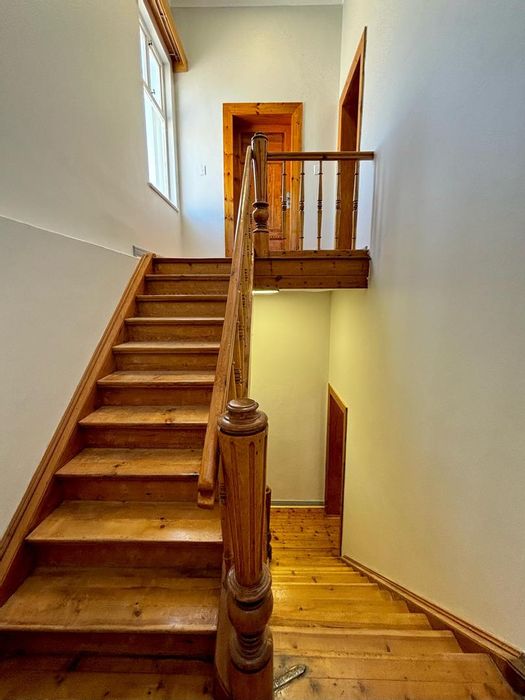
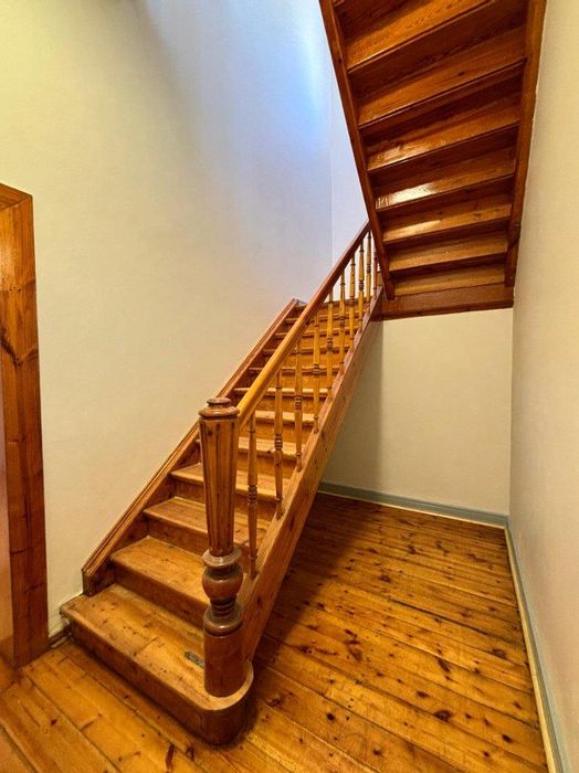
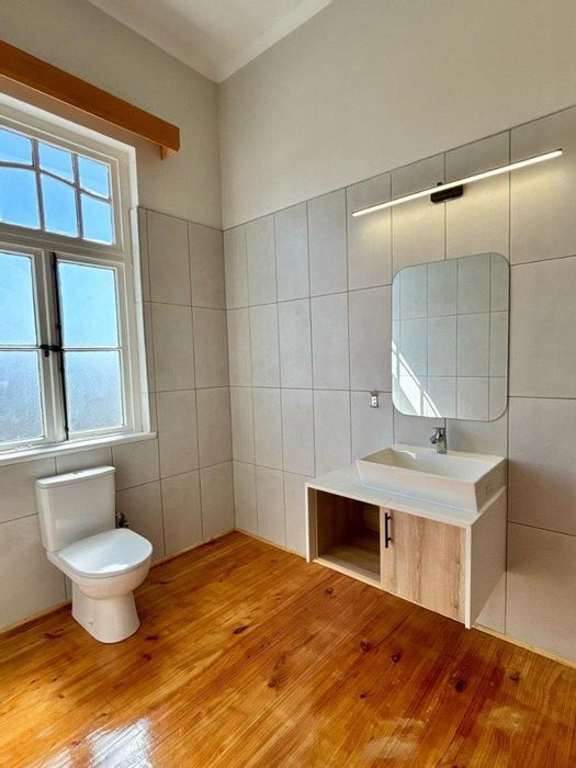
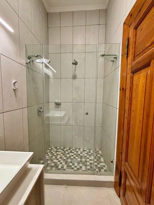
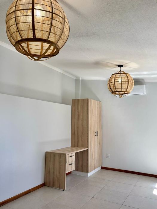
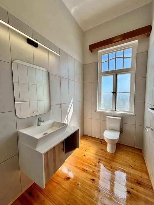
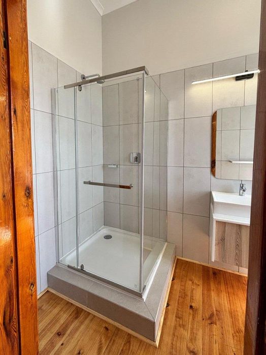
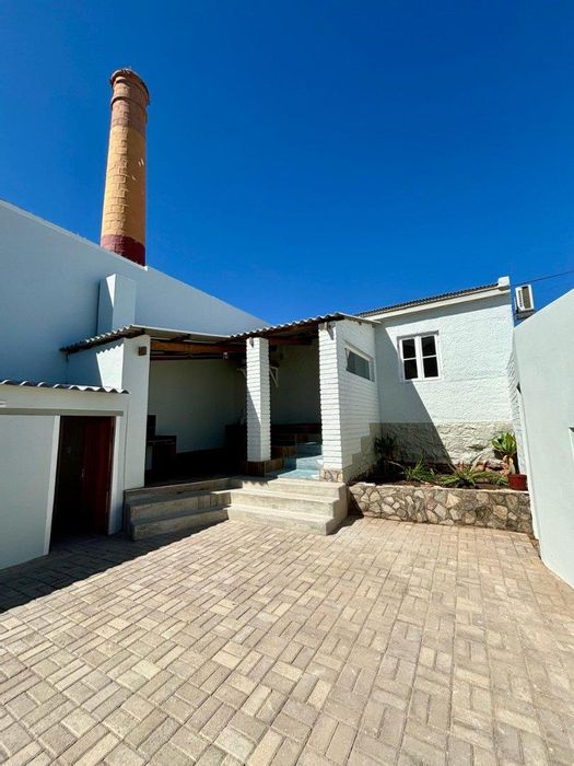
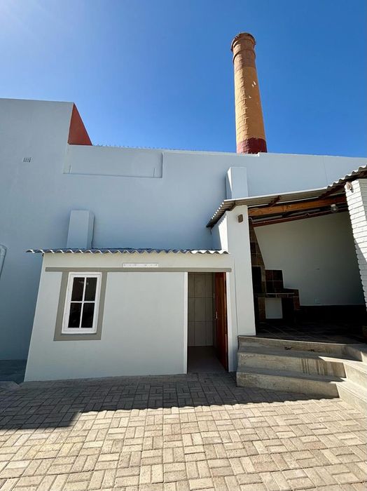
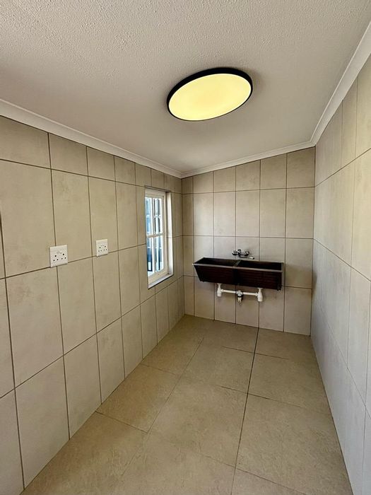
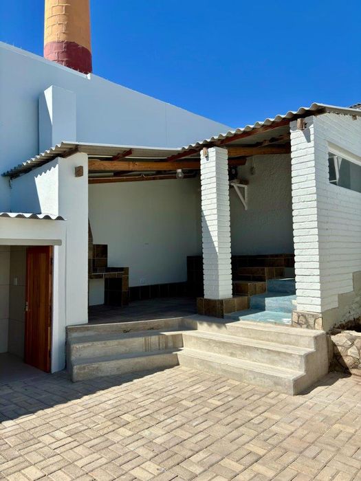
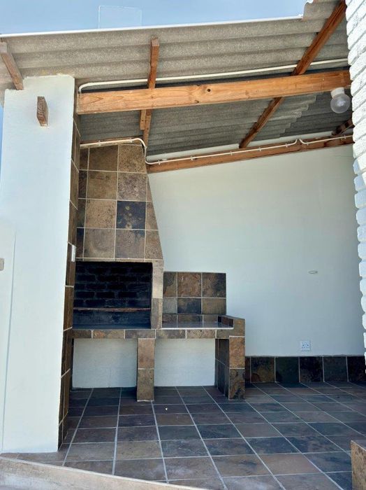
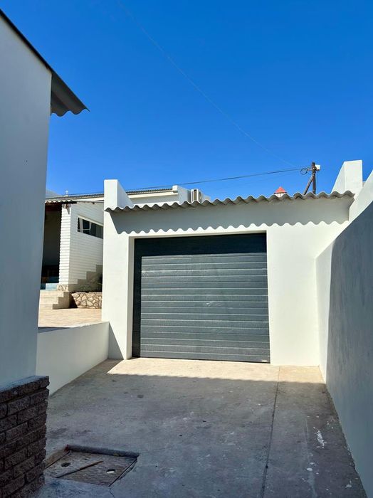
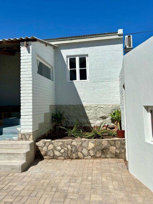
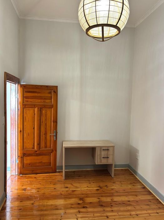
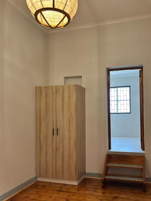
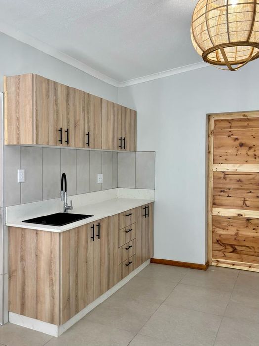
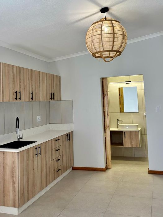
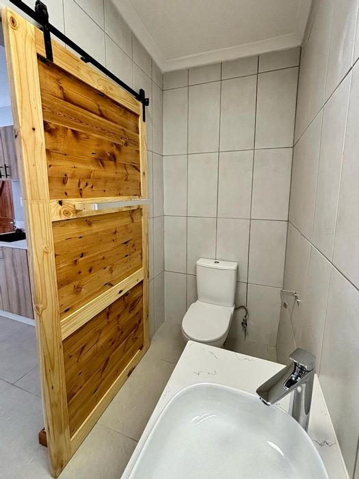
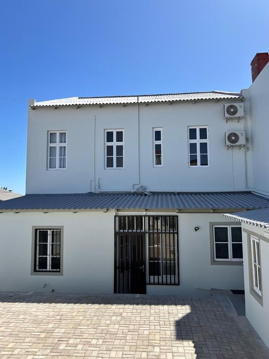
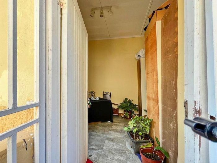
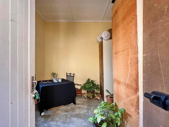
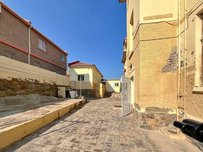
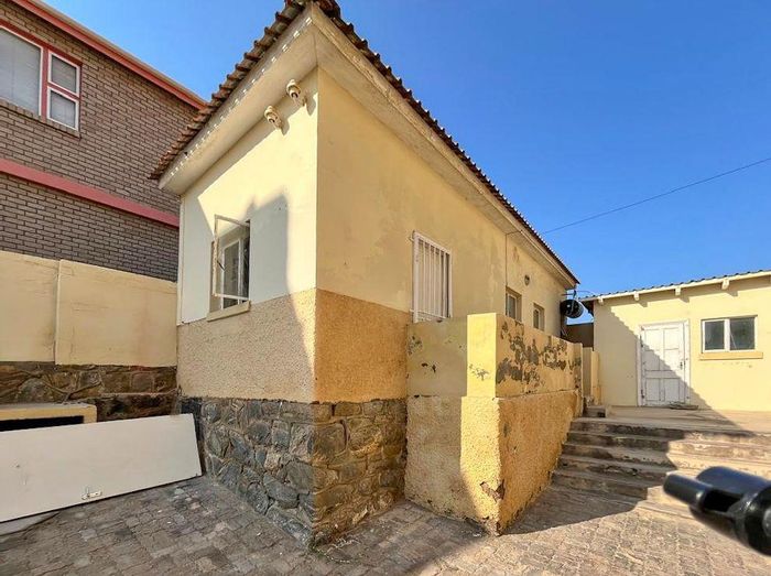
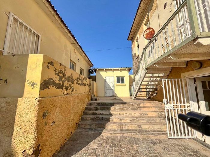
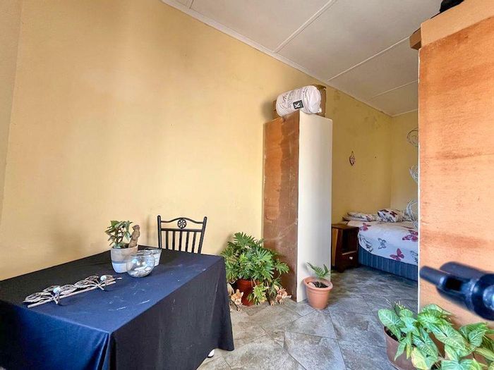
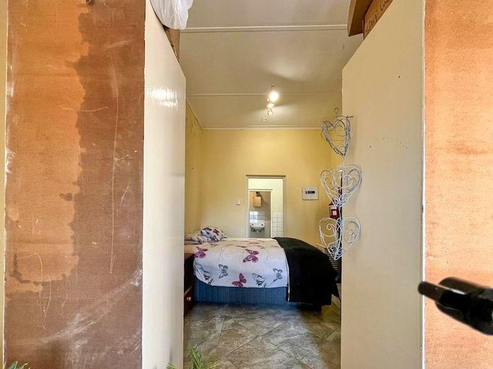
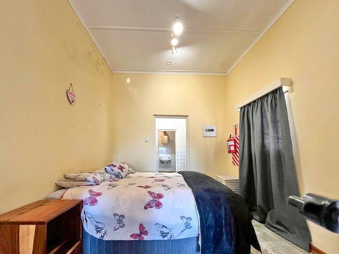
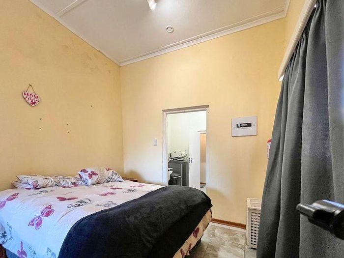
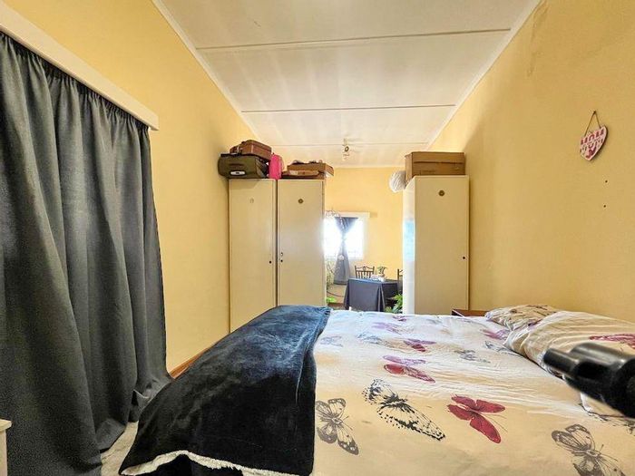
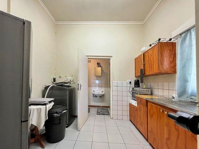
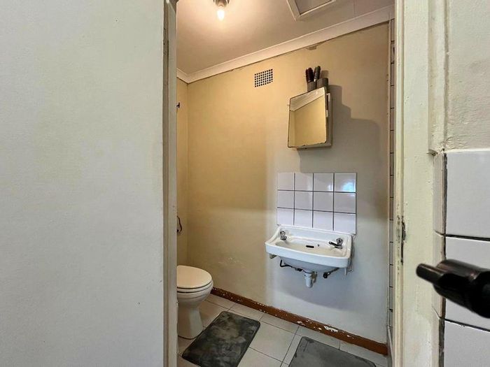
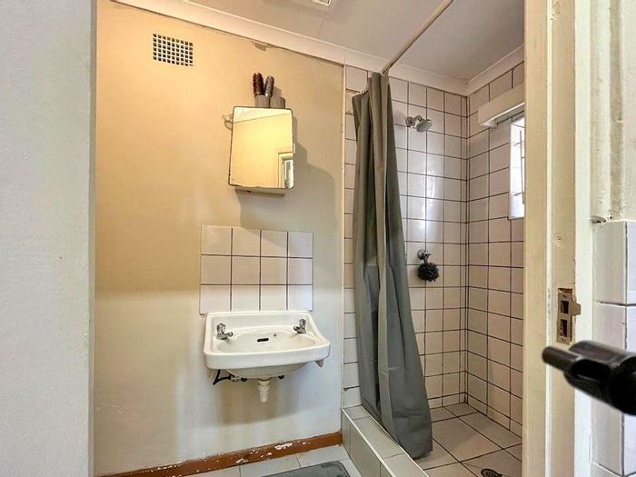
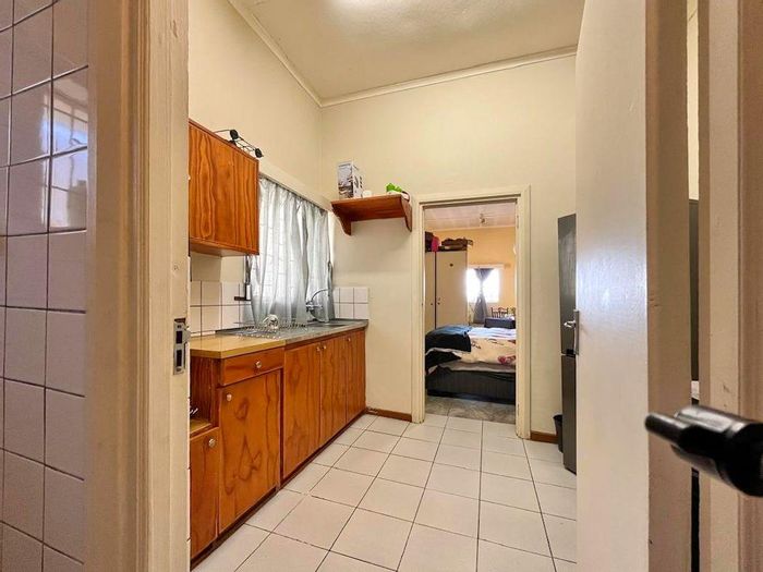
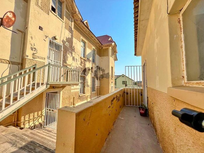
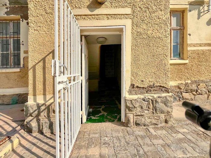
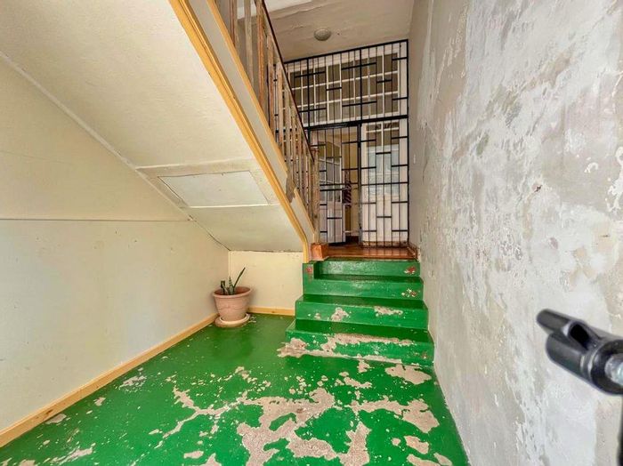
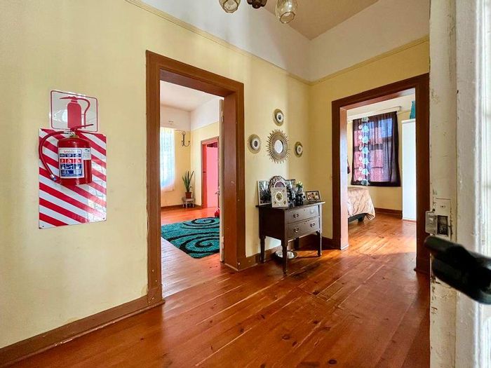
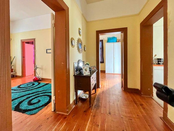
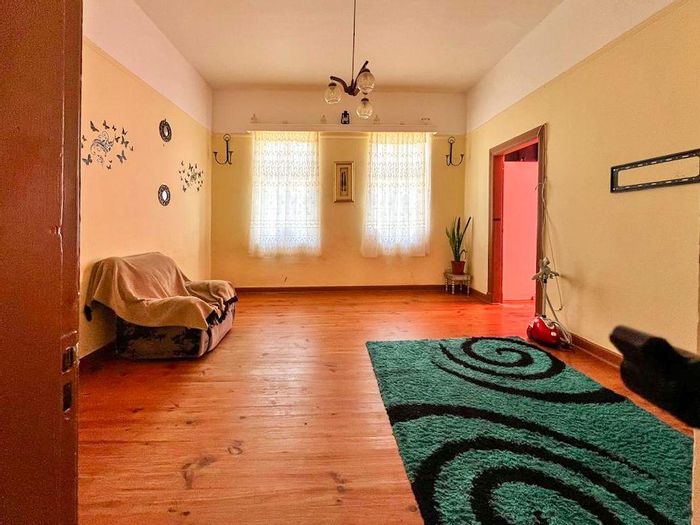
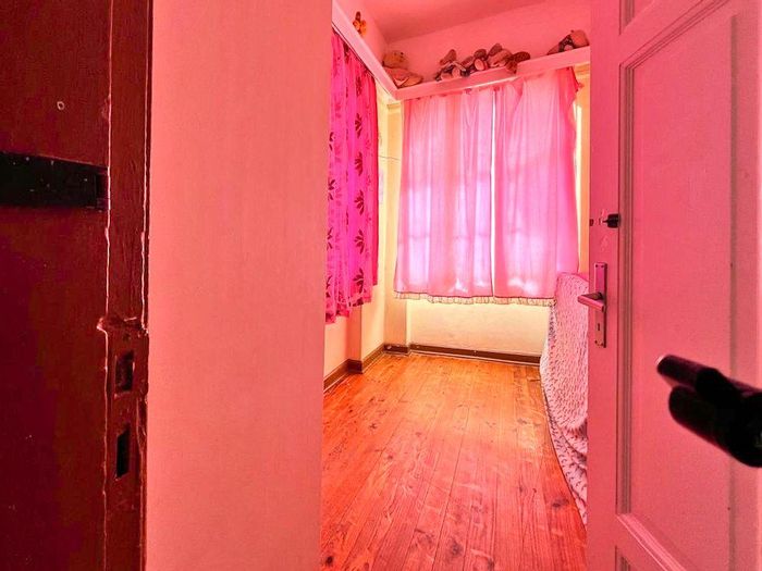
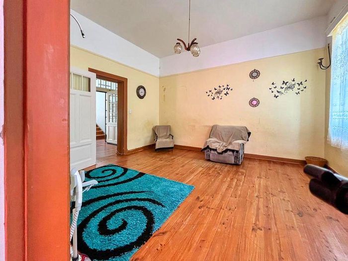
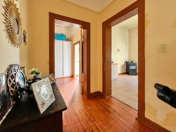
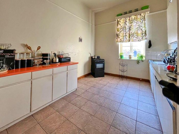
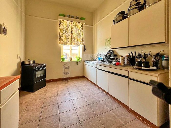
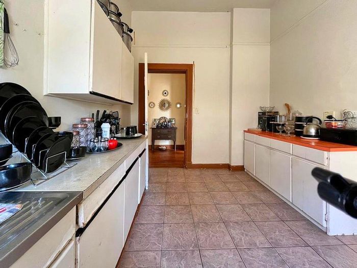
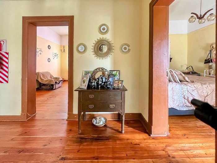
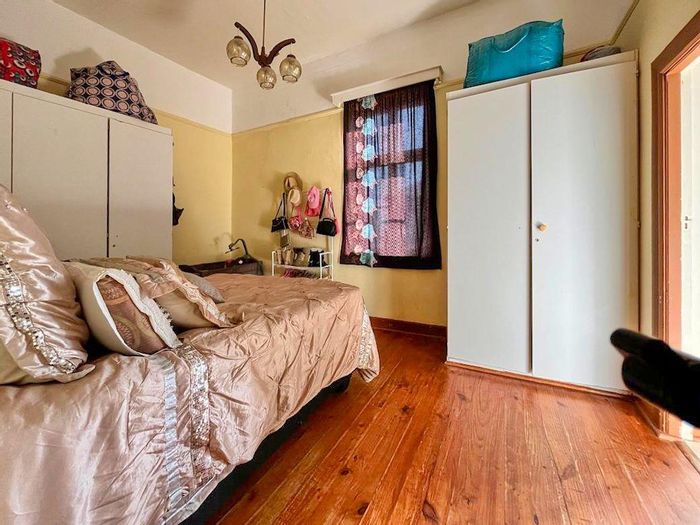
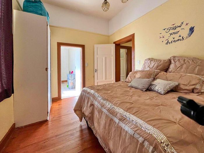
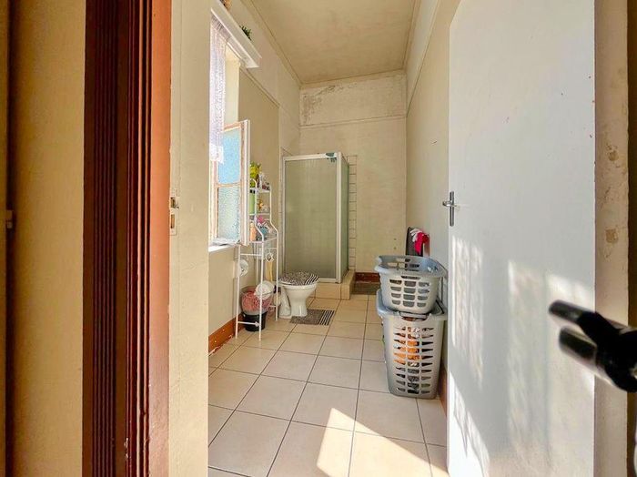
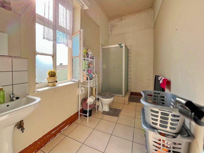
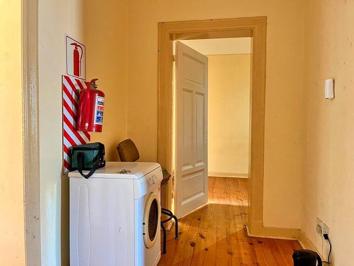
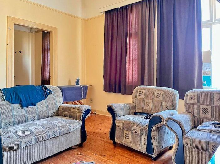
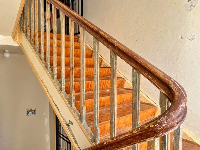
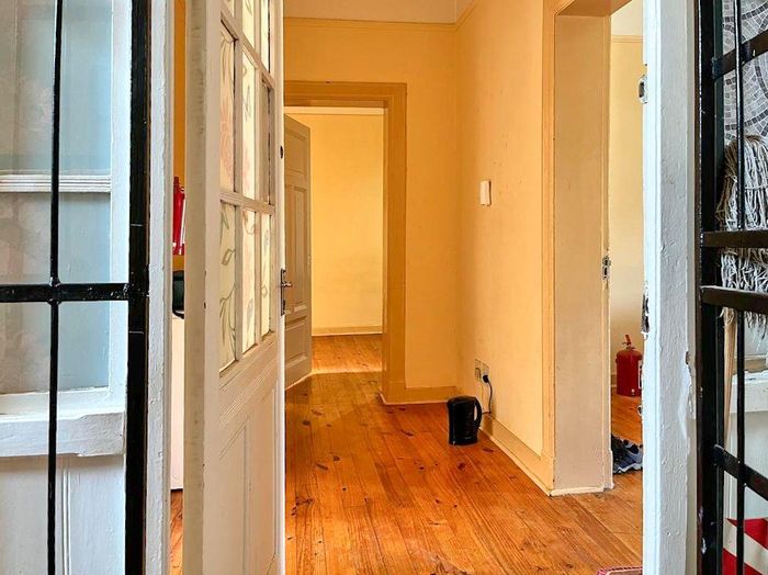
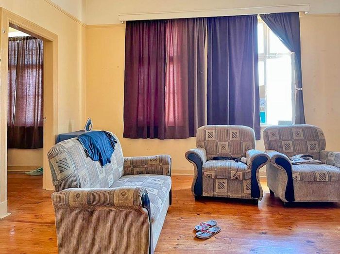
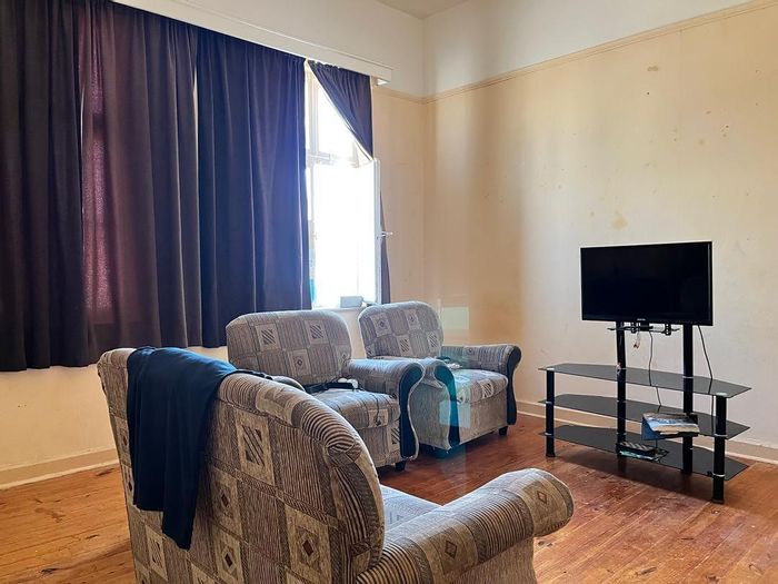
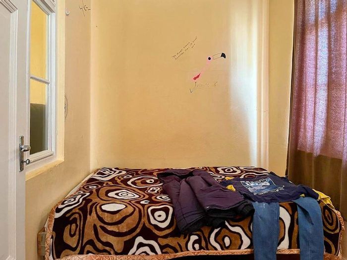
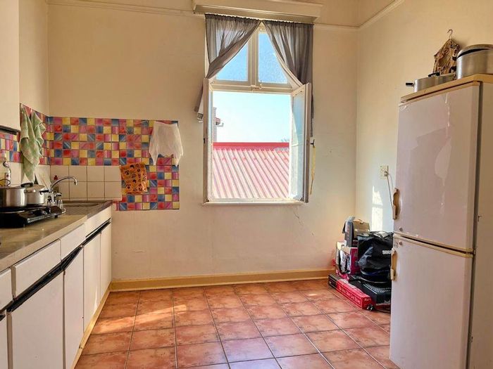
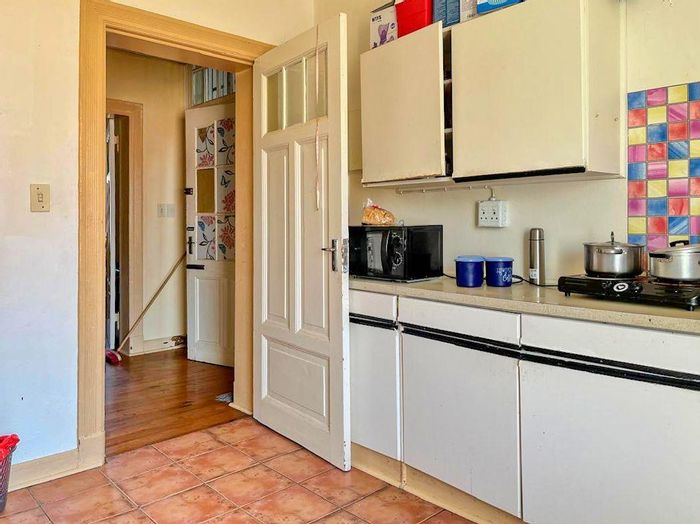
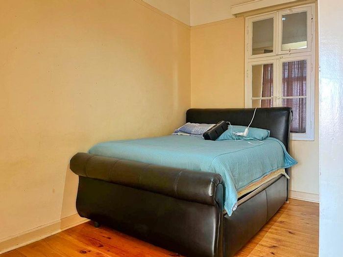
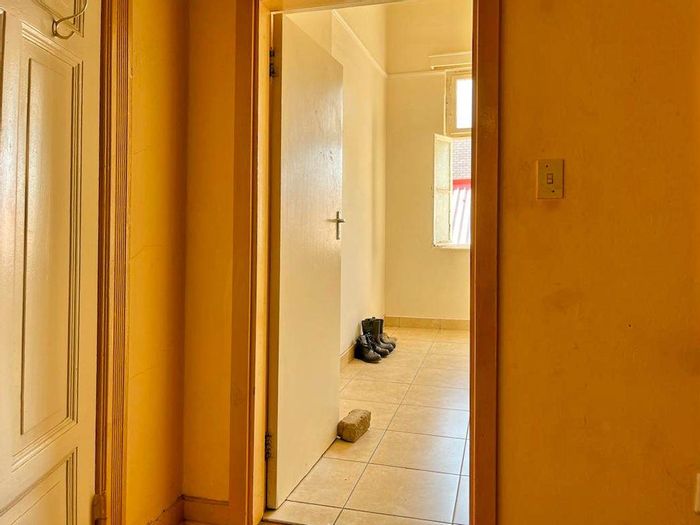
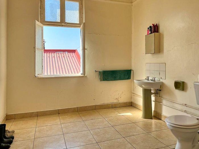
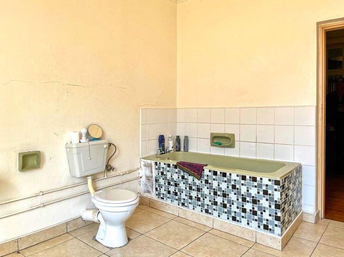
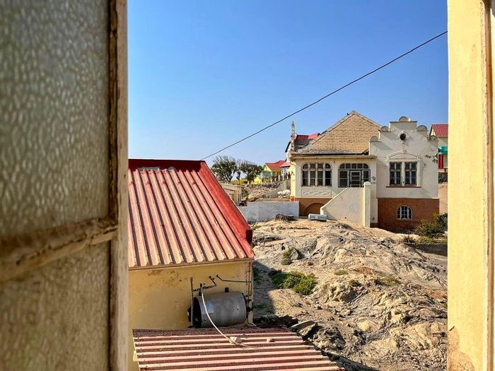
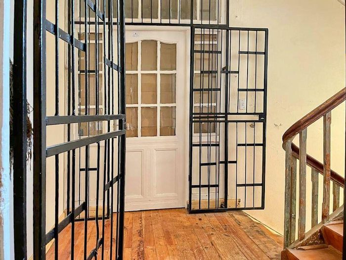
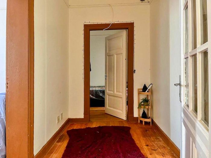
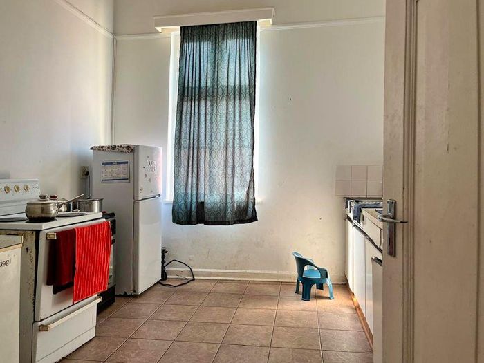
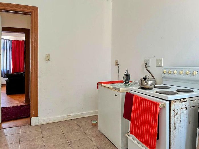
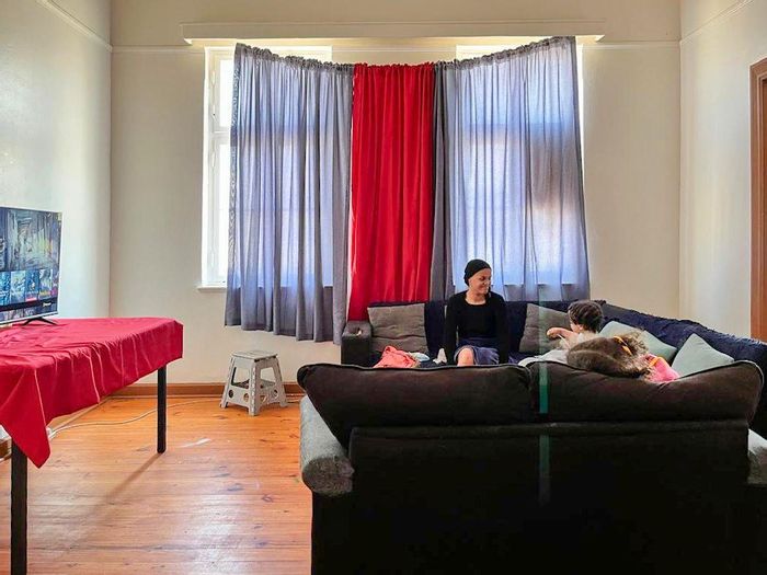
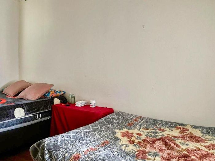
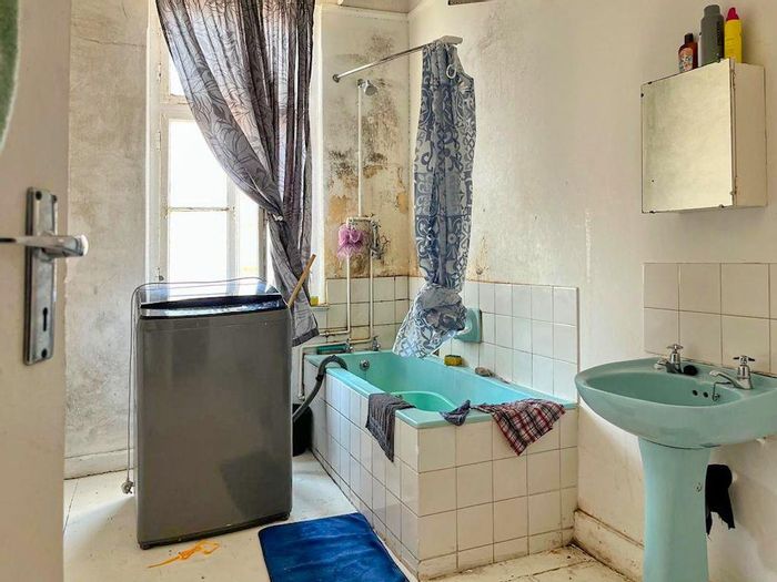
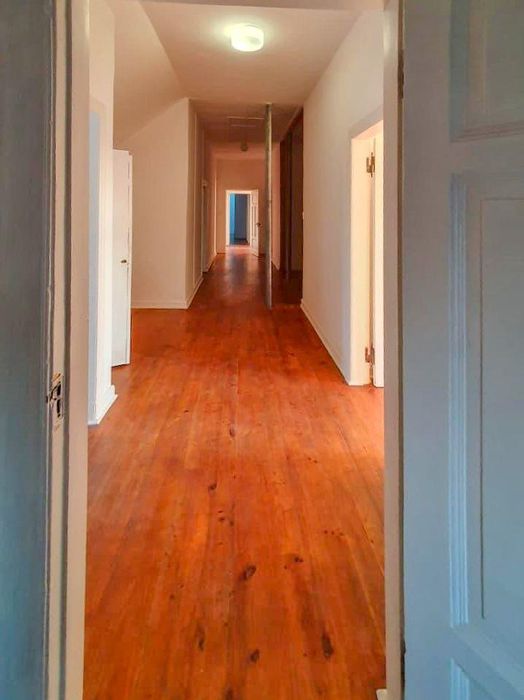
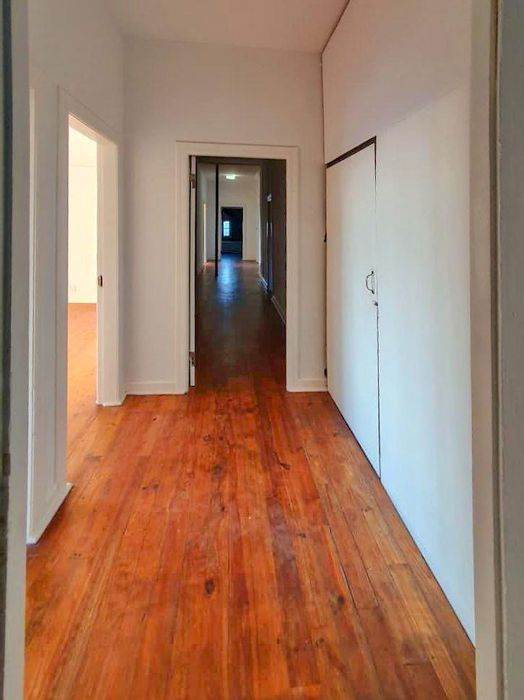
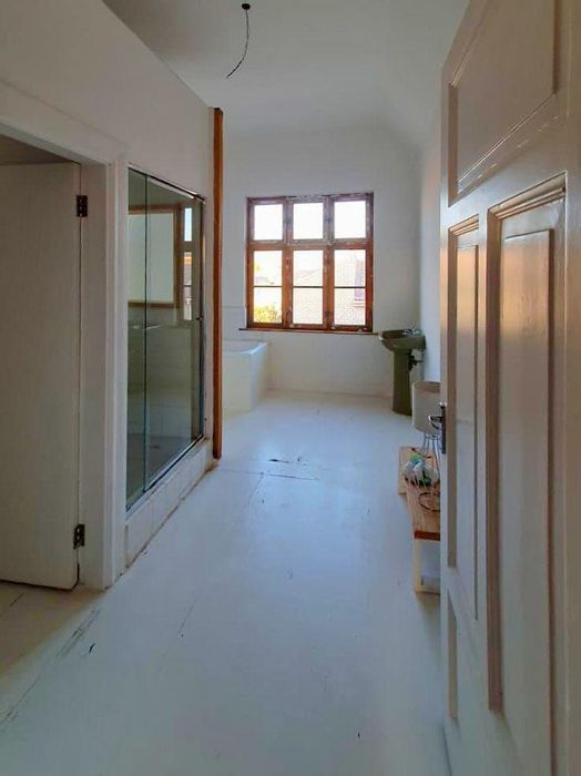
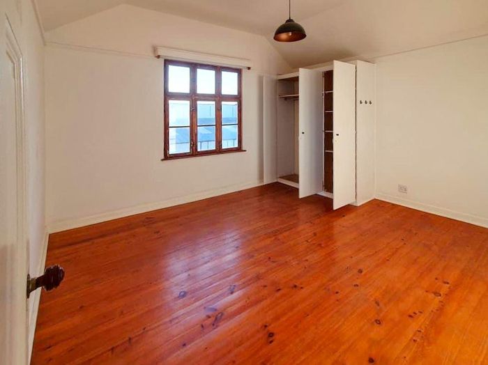
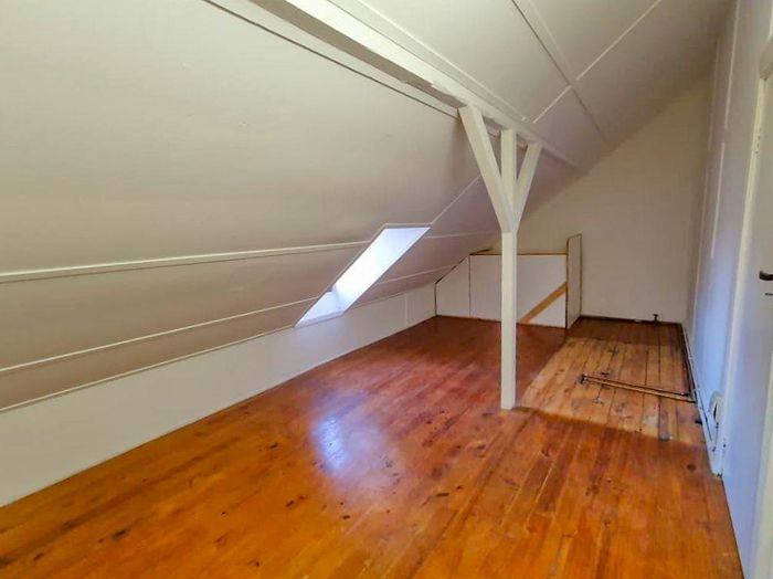
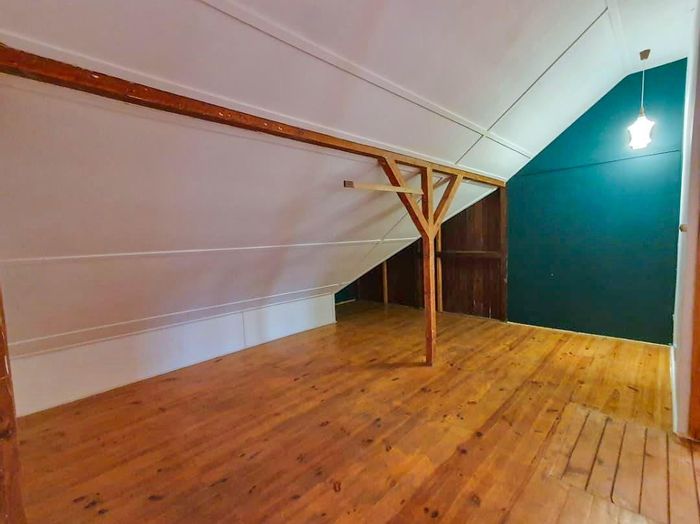
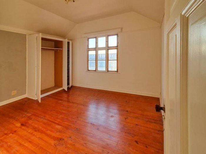
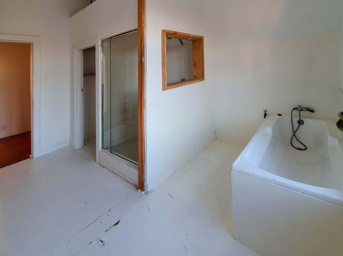
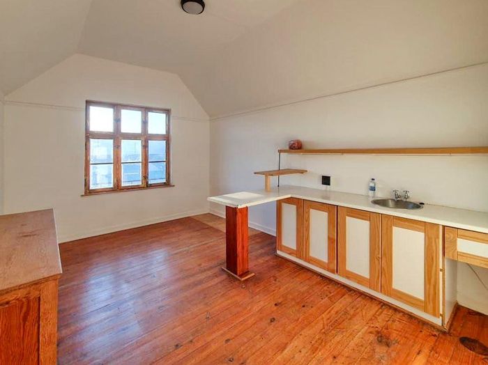
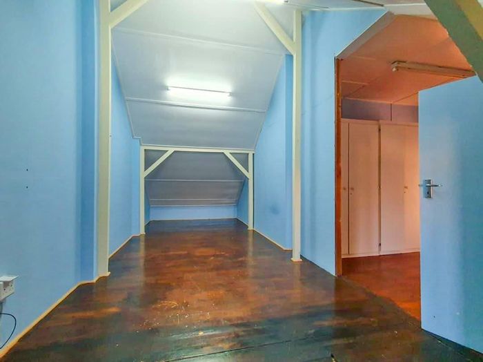
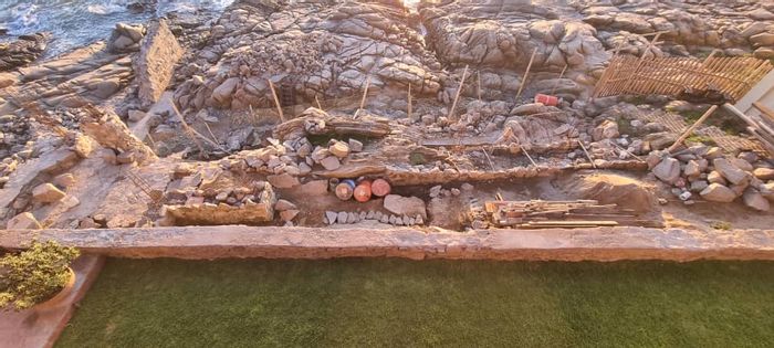
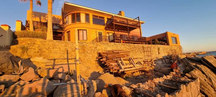
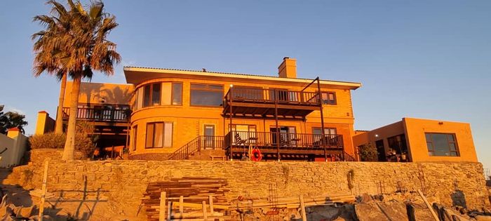
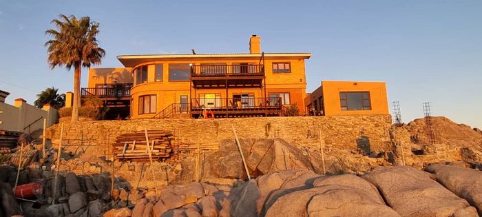
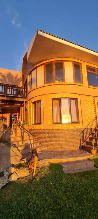
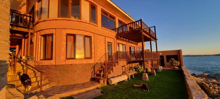
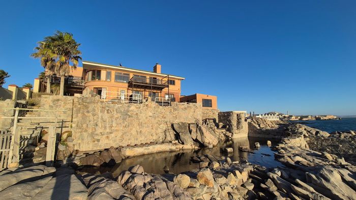
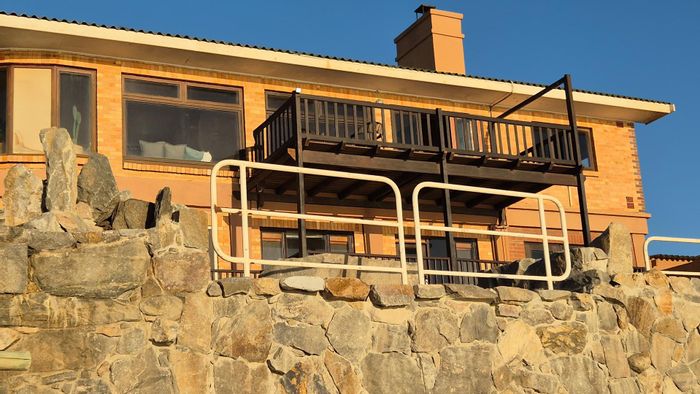
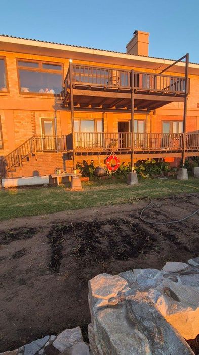
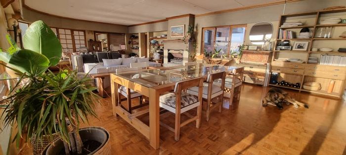
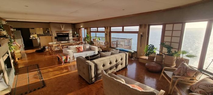
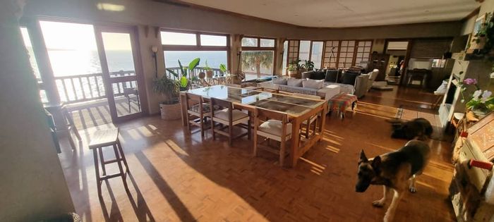
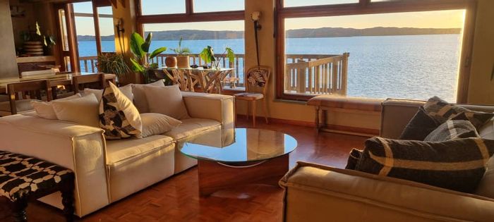
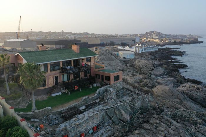
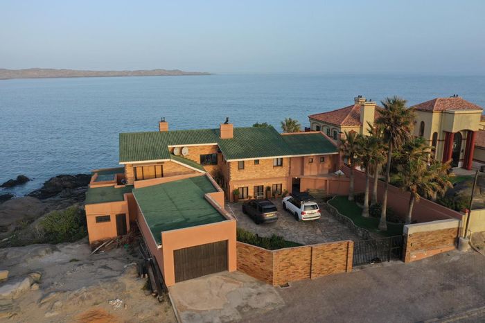
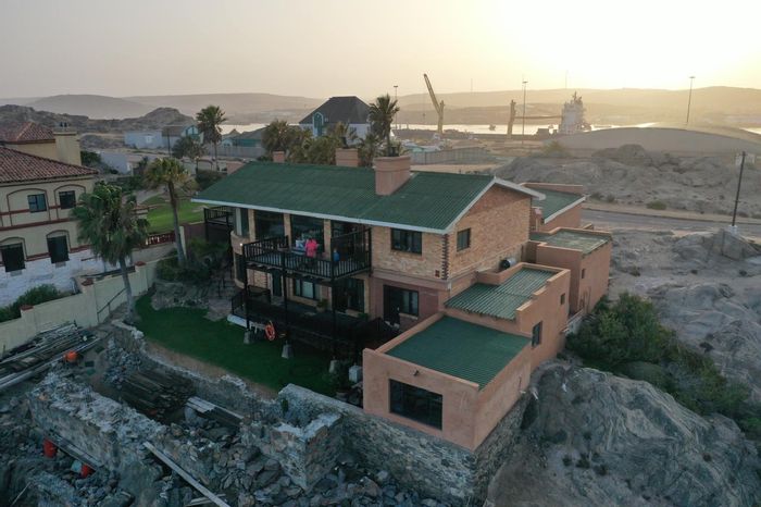
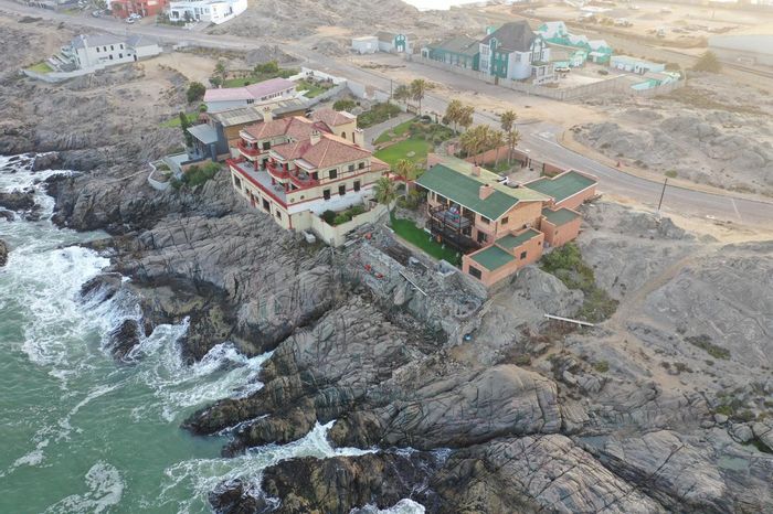
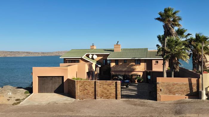
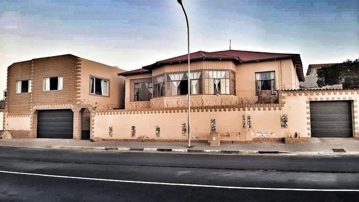
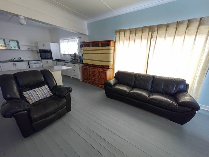
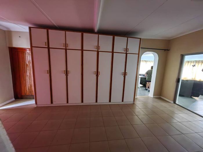
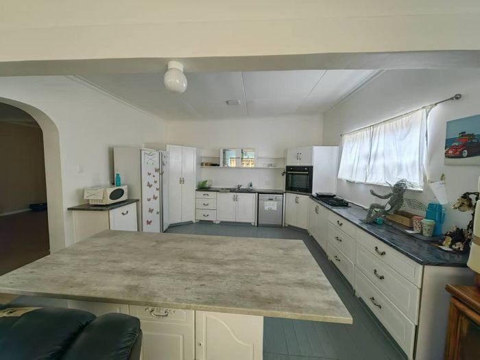
Property in Karas spans freestanding houses, coastal cottages, apartments, and townhouses in larger centres, with development pockets in Keetmanshoop, Lüderitz, and Oranjemund. Lifestyle farms and smallholdings occur along parts of the Orange River corridor, where agriculture is established. Compared with Namibia’s main metropolitan and northern coastal markets, Karas generally offers more accessible entry prices, appealing to first-time buyers, families seeking space, and investors targeting guesthouse, tourism, or staff accommodation. Older housing stock in historic areas also presents opportunities for value-adding upgrades.
Conclusion
Karas in the ǁKaras Region combines dependable services, strong transport links, and signature Namibian landscapes, from canyon country to Atlantic bays. For buyers and investors, it offers practical affordability and diverse property choices. Explore current listings and opportunities across Karas on MyProperty.com.na.