Erongo property guide

Erongo Region Property Guide: Living and Investing in Namibia’s Coastal Province
Introduction
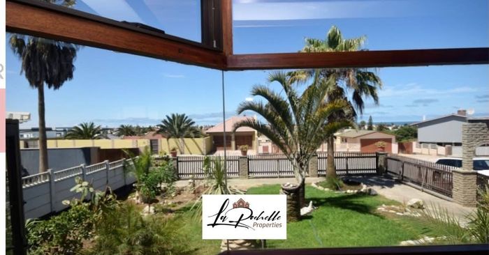
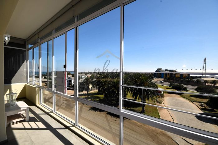
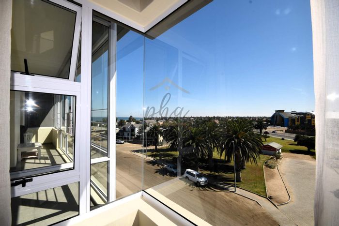
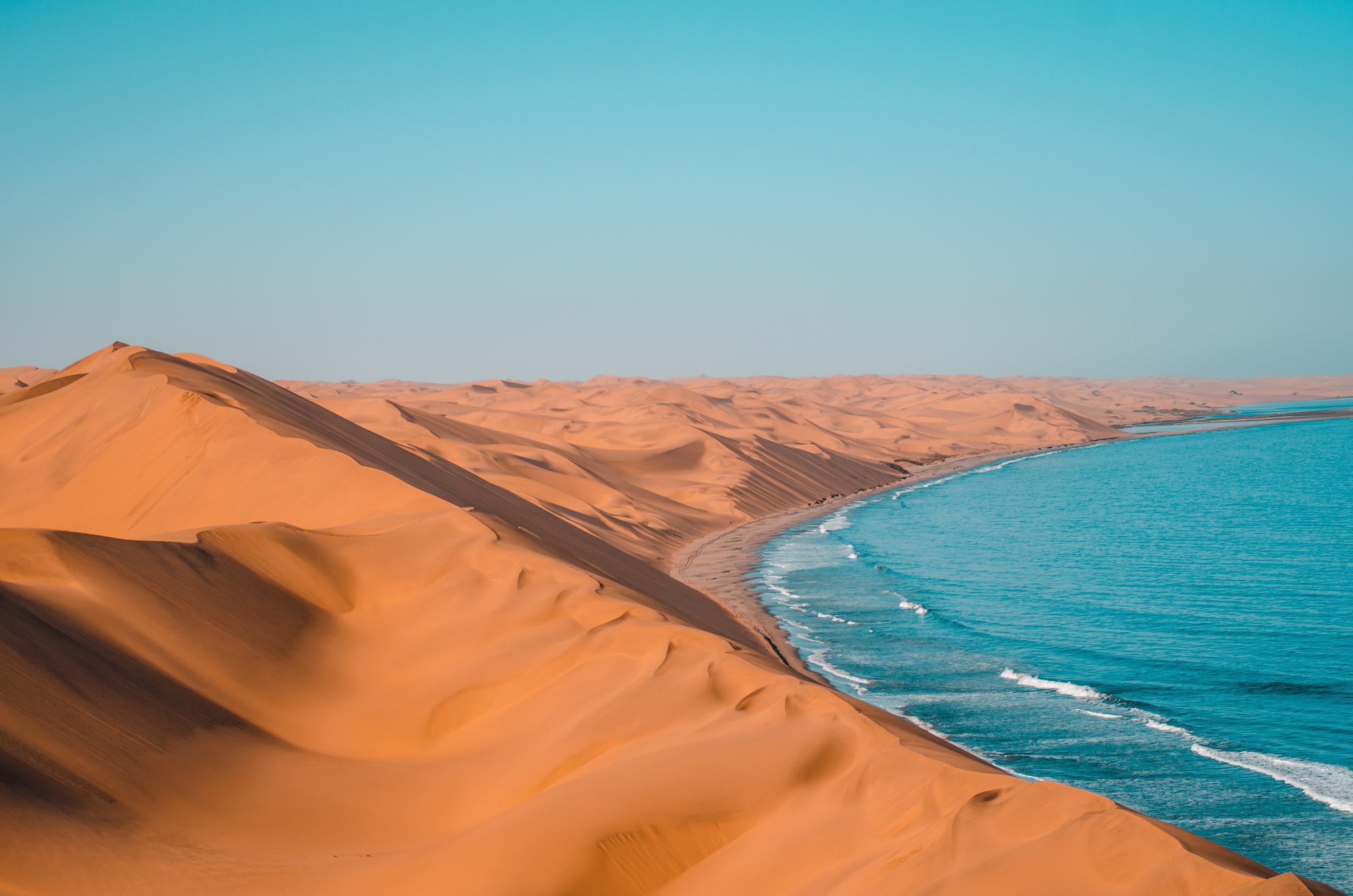
Erongo Region, on Namibia’s central Atlantic coast, blends established port, mining, and tourism economies with a relaxed seaside lifestyle. Centered around Swakopmund, the regional capital, and Walvis Bay, the country’s main harbour town, Erongo offers buyers and residents a mix of coastal suburbs, holiday enclaves, and inland small towns. Access to beaches, dunes, and natural landmarks makes the Erongo Region attractive to families, retirees, and investors seeking steady rental demand and quality amenities.
Location and Accessibility
The Erongo Region stretches from the Atlantic Ocean inland to the Erongo Mountains and Brandberg, with major towns including Swakopmund, Walvis Bay, Henties Bay, Omaruru, Karibib, Usakos, Arandis, and Uis. The B2 national road links Walvis Bay and Swakopmund to Windhoek via Karibib and Okahandja. Coastal routes such as the C34 connect Swakopmund to Henties Bay and the Skeleton Coast, while the C14 heads south via the Kuiseb Pass. Walvis Bay International Airport provides scheduled domestic services and selected regional connections, and the Port of Walvis Bay anchors road-rail freight corridors.
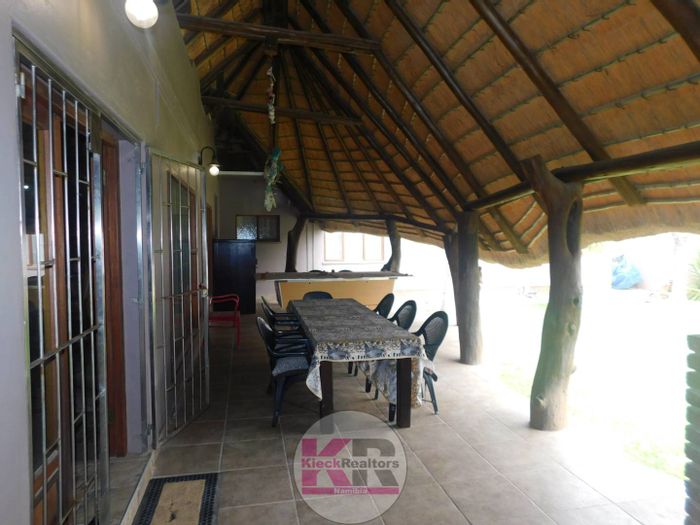
Lifestyle and Amenities
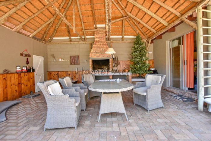
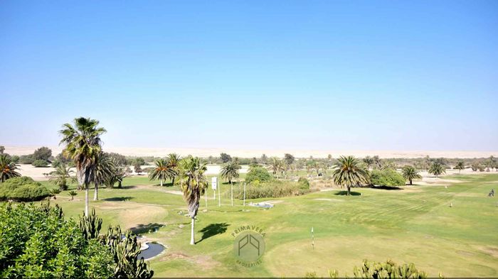
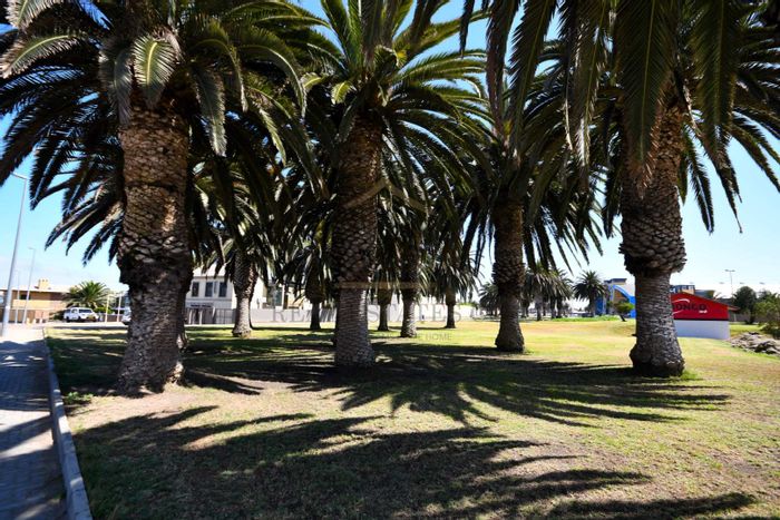
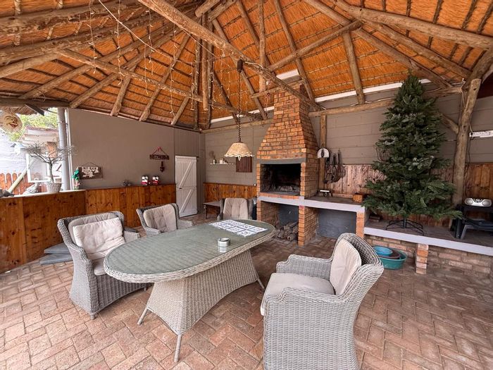
Erongo’s lifestyle revolves around beach walks, fishing, desert excursions, and a strong café and restaurant culture, particularly in Swakopmund and Walvis Bay. Shopping is convenient, with Dunes Mall in Walvis Bay and Platz Am Meer in Swakopmund, alongside smaller centers and local markets. Healthcare is well supported by facilities such as Mediclinic Swakopmund, Swakopmund State Hospital, and Welwitschia Hospital in Walvis Bay. Schooling options range from public schools to private institutions like Pro-Ed Academy in Swakopmund and the International School of Walvis Bay. Recreation venues include The Dome in Swakopmund, the Walvis Bay Lagoon (a Ramsar-listed wetland), and iconic outdoor attractions like Dune 7, Spitzkoppe, the Erongo Mountain Conservancy, and access to the Namib-Naukluft Park.
Upcoming Events
The Erongo Region hosts several well-known annual events that draw participants and spectators. The Nedbank Desert Dash, a premier endurance mountain bike race from Windhoek to Swakopmund each December, finishes on the coast with a festive atmosphere. The Rössing Uranium Marathon, typically held in or near Swakopmund, attracts runners from across Namibia. Shore angling competitions along the Skeleton Coast and Henties Bay are regular calendar features, and seasonal beachfront and sports events in Swakopmund and Walvis Bay add to the region’s active, outdoor culture.
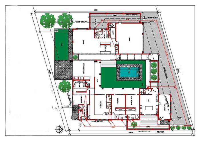
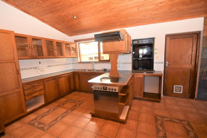
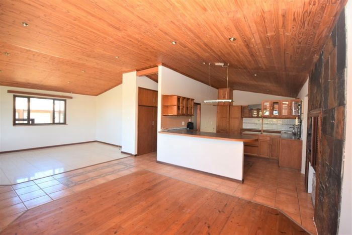
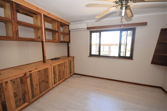
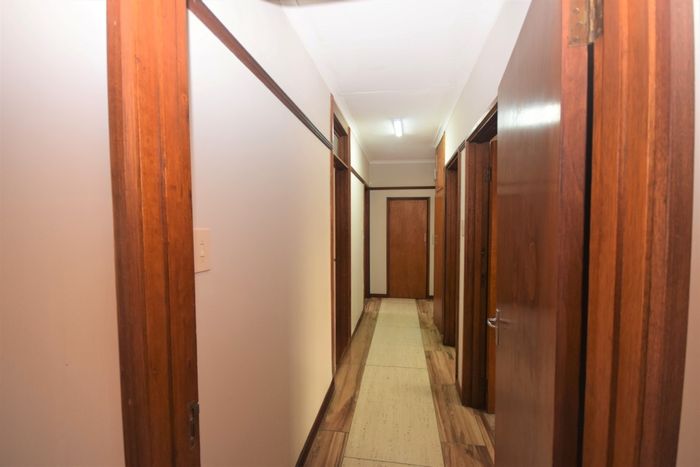
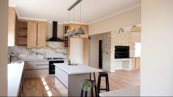
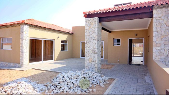
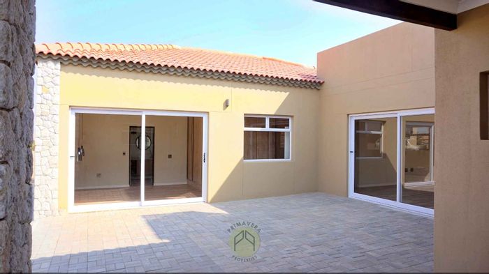
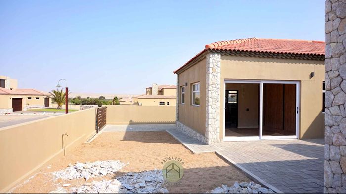
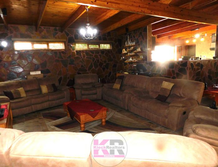
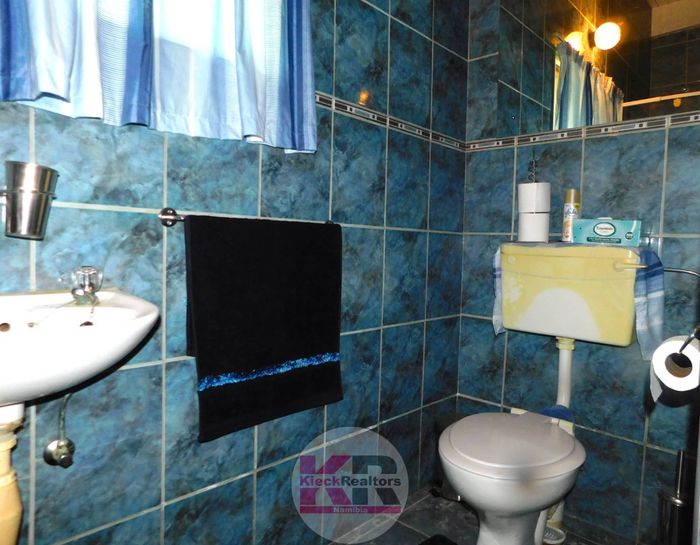
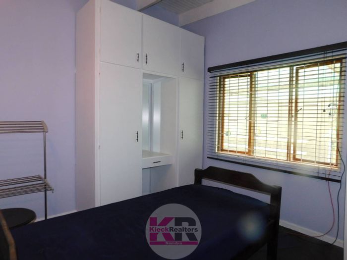
Property Market Overview
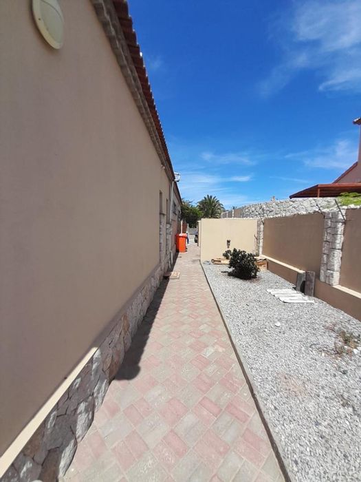
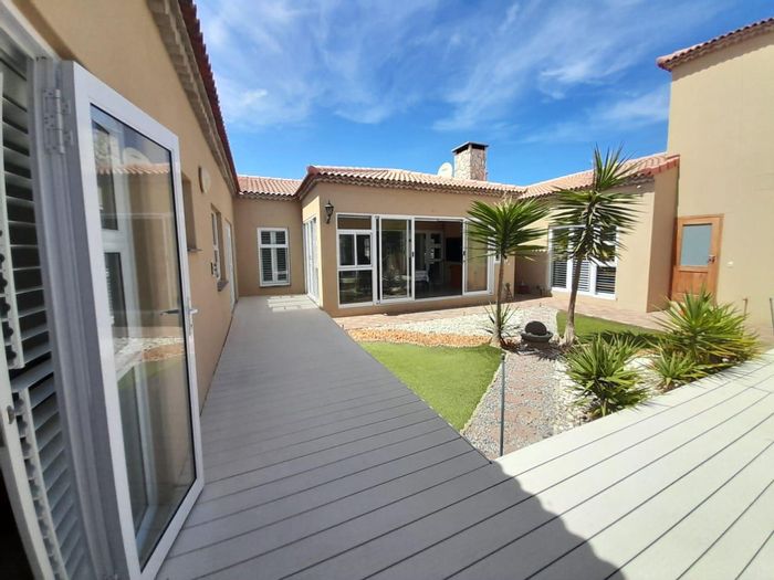
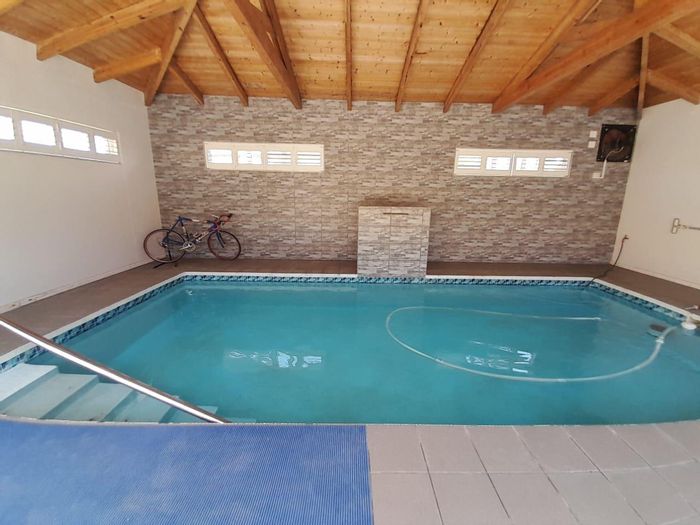
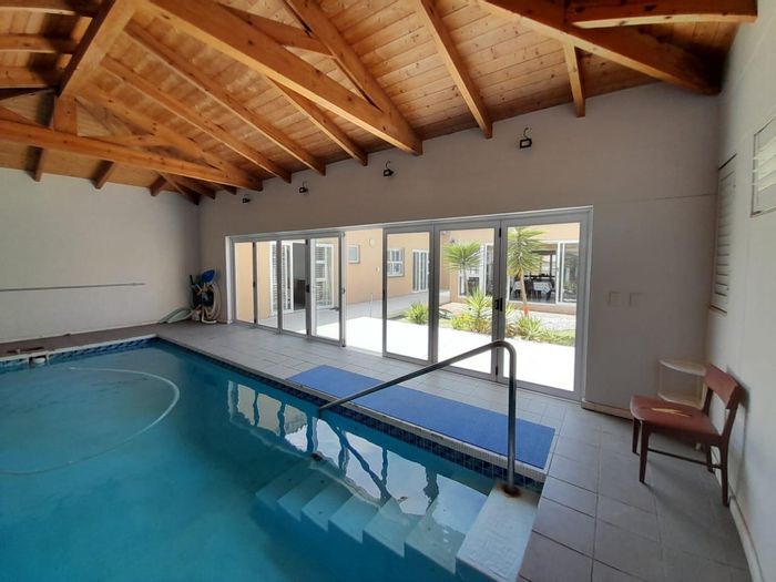
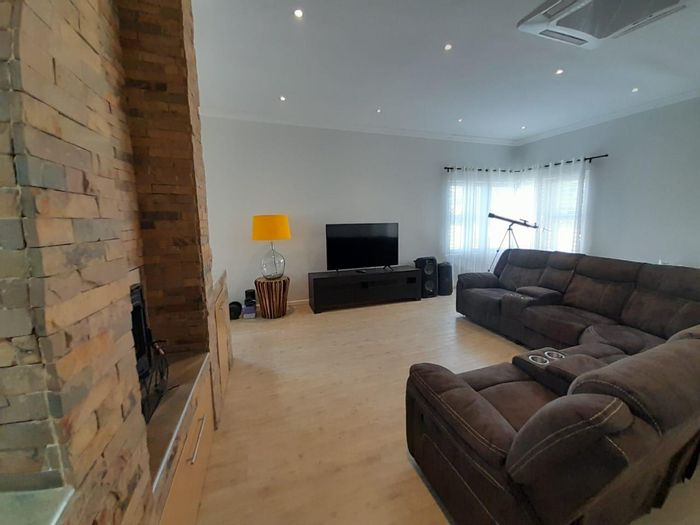
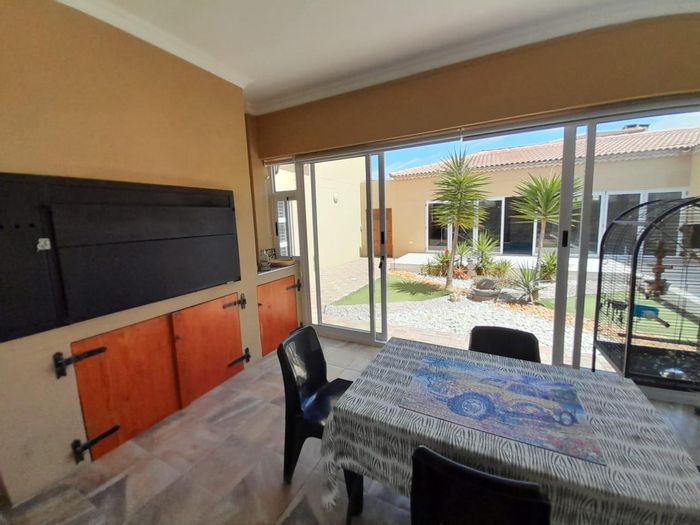
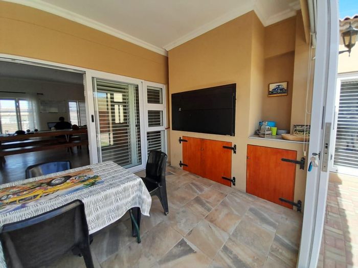
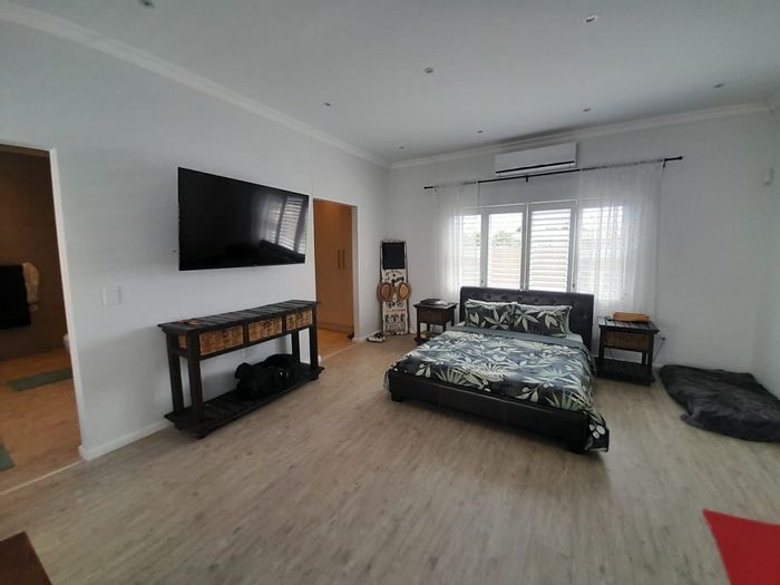
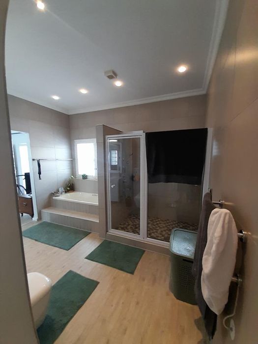
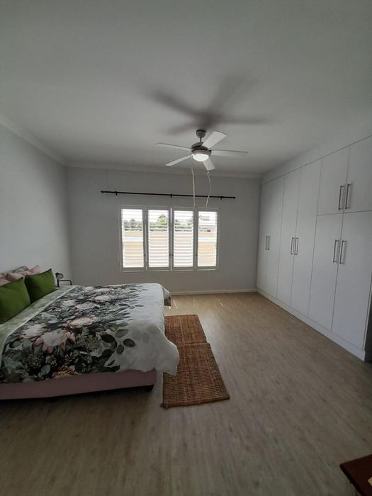
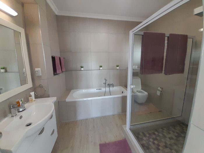
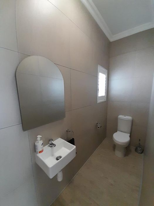
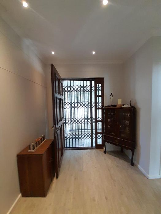
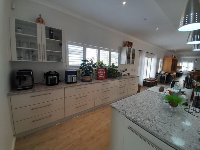
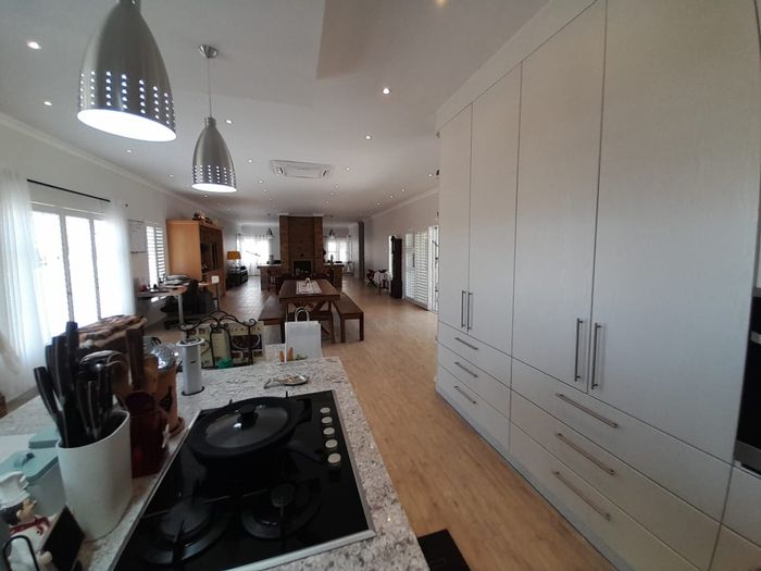
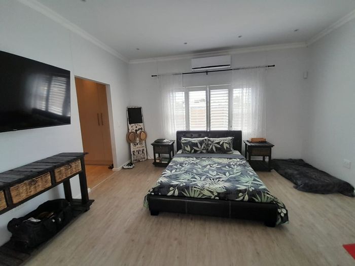
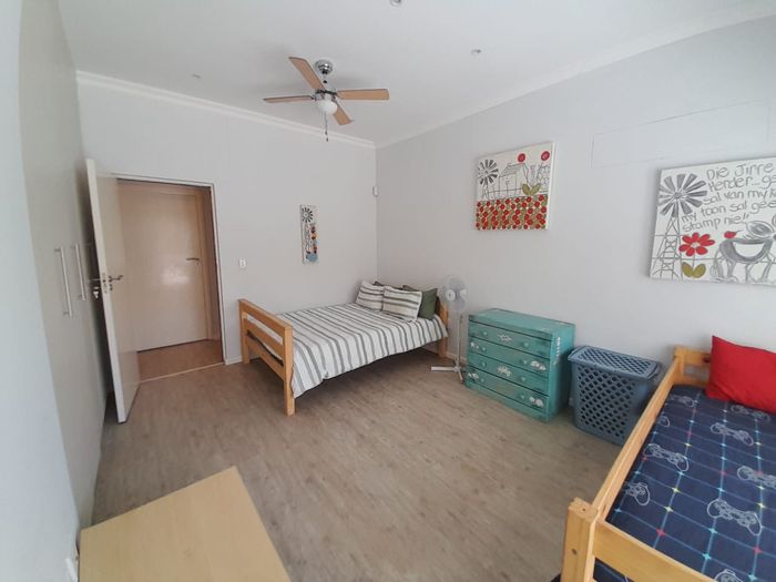
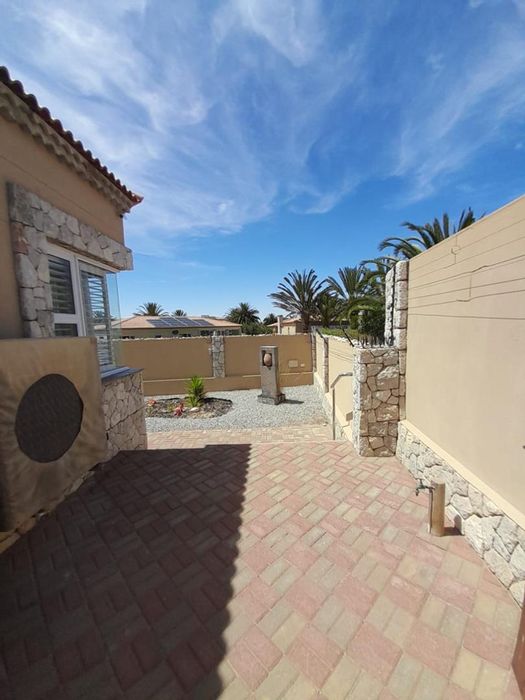
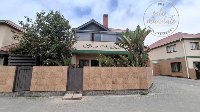
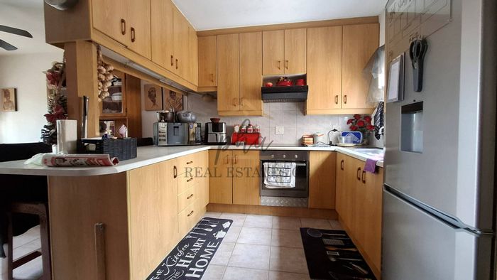
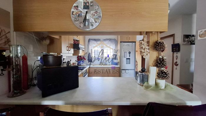
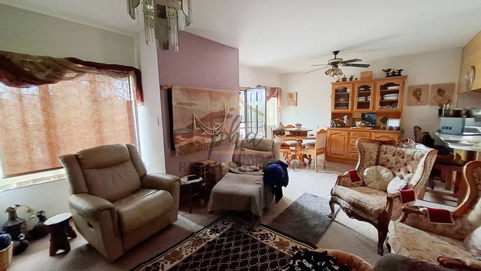
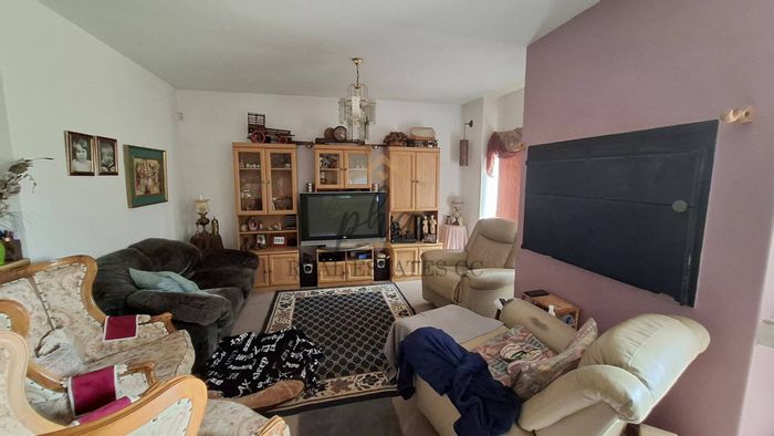
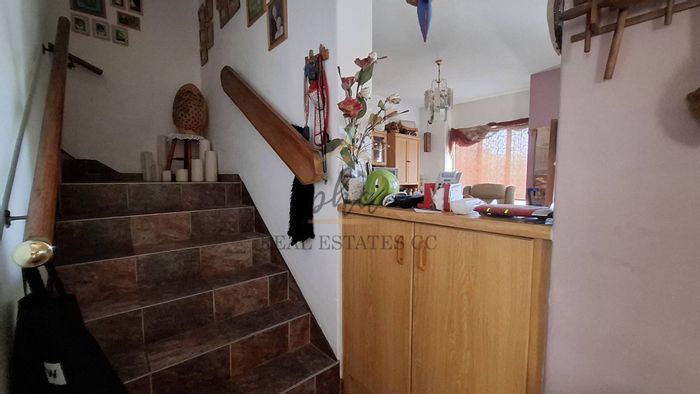
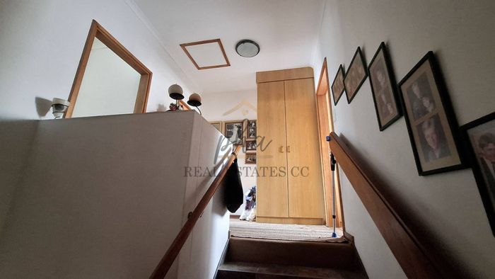
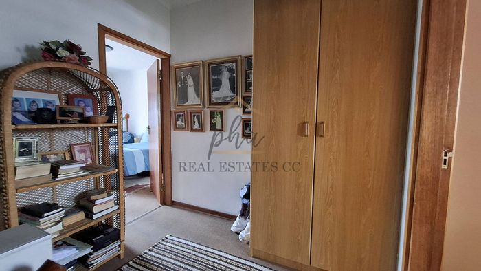
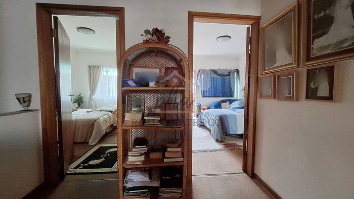
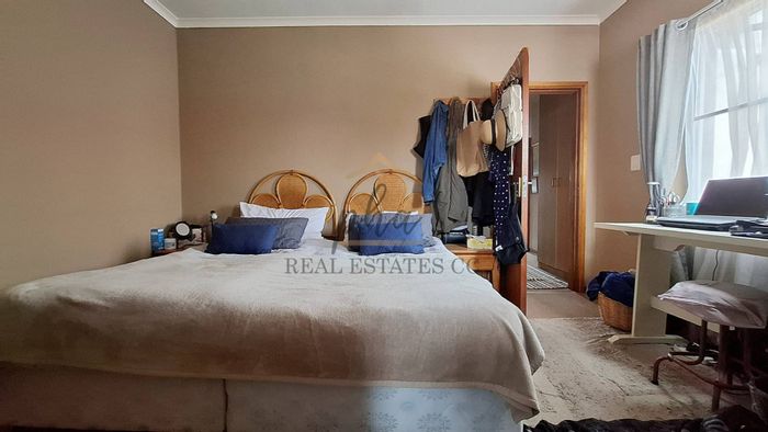
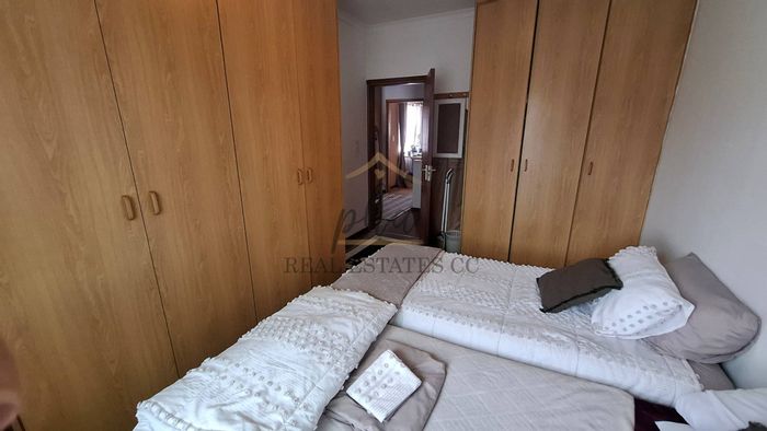
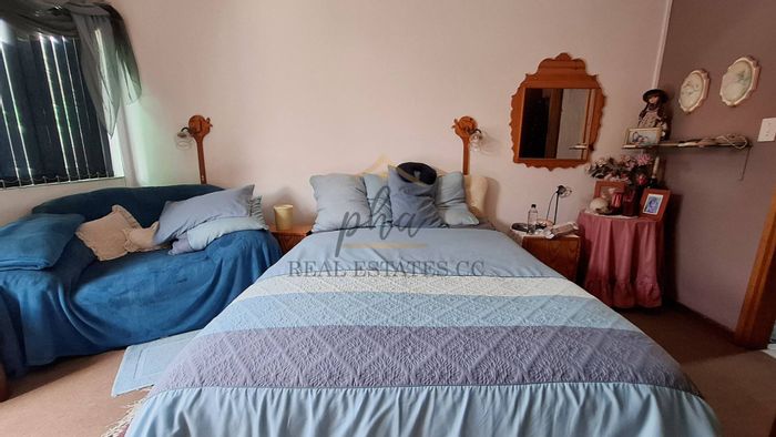
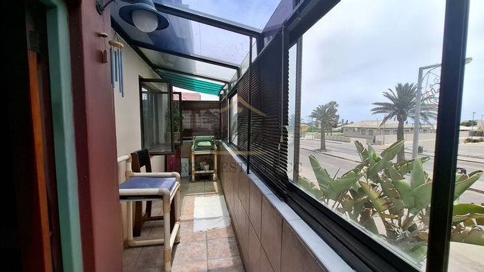
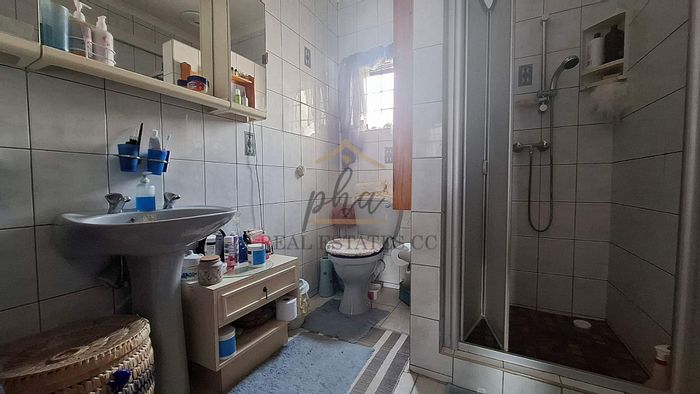
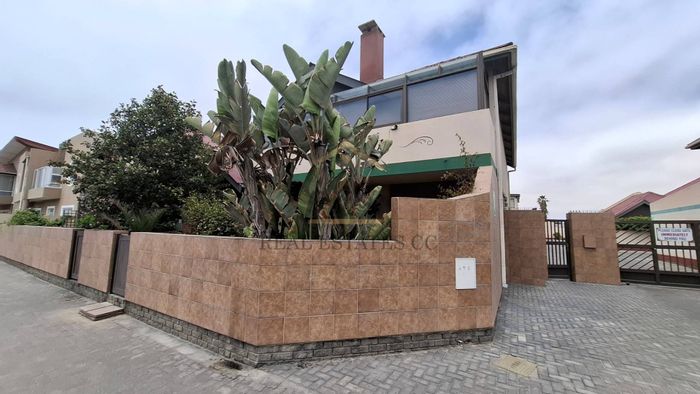
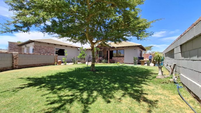
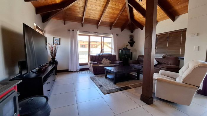
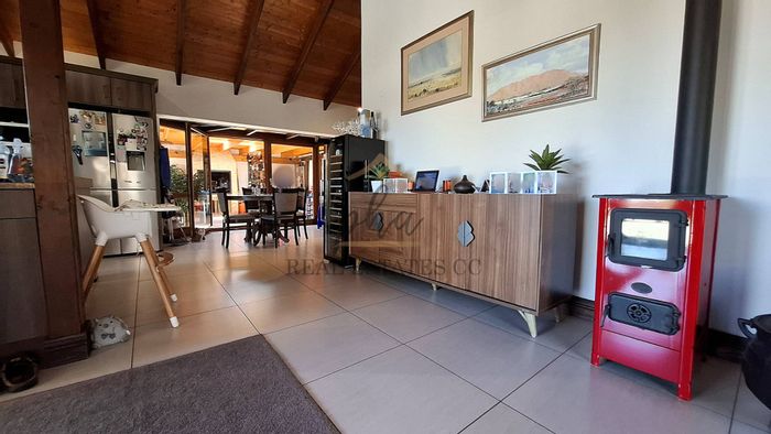
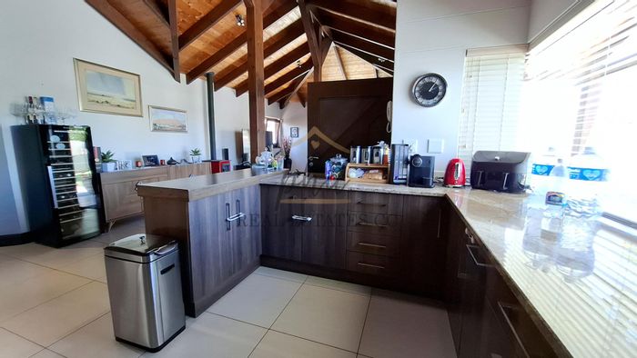
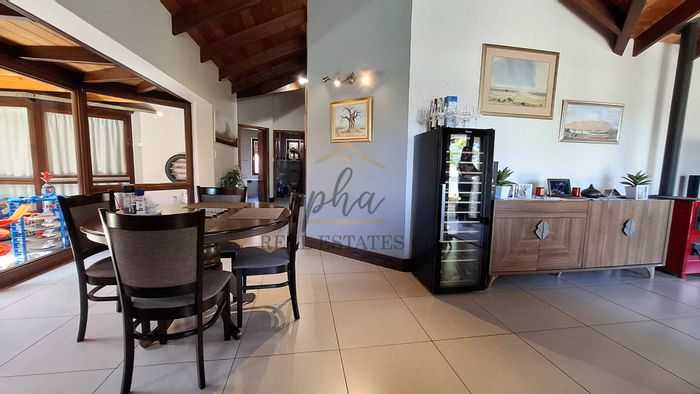
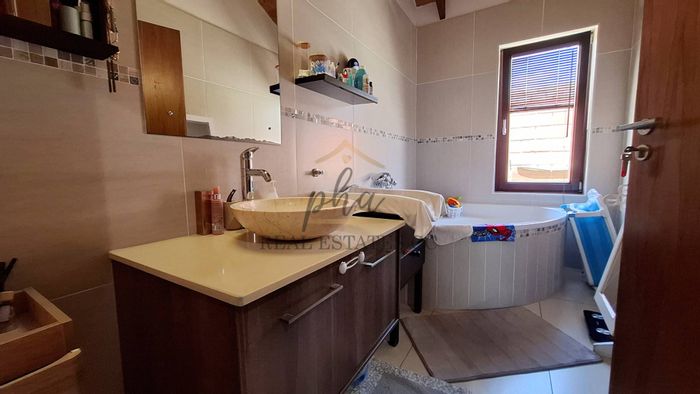
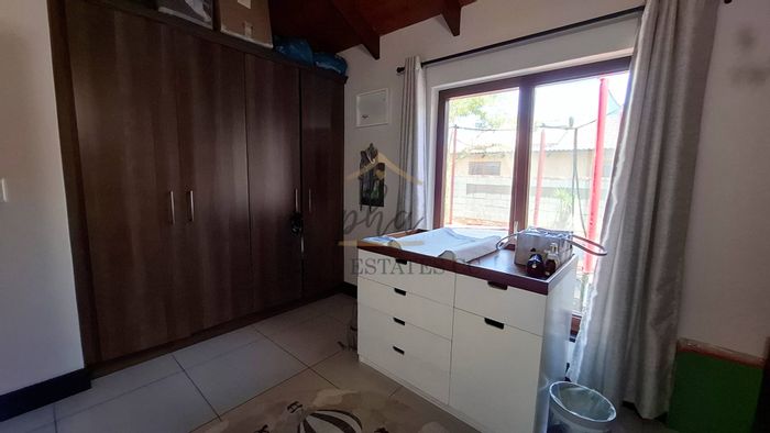
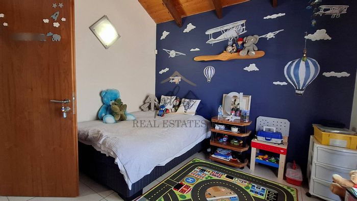
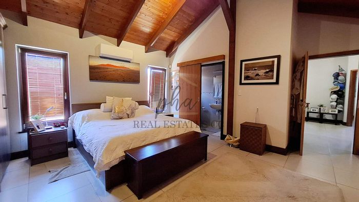
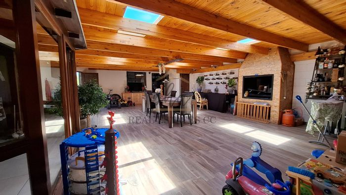
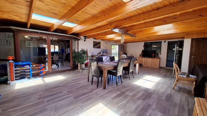
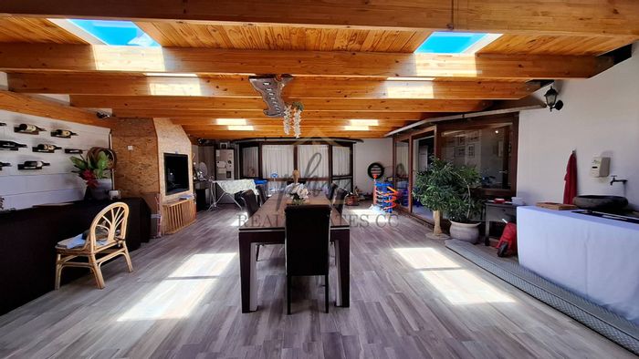
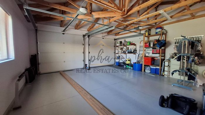
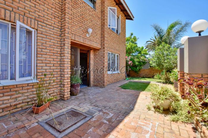
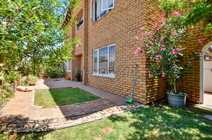
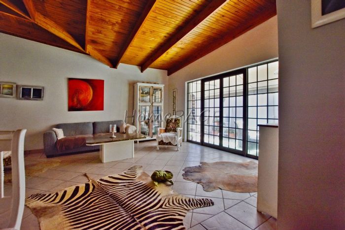
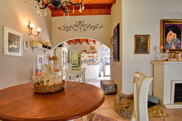
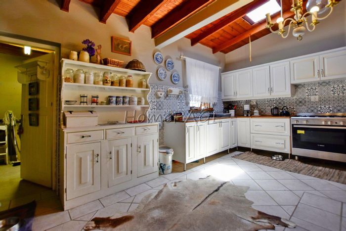
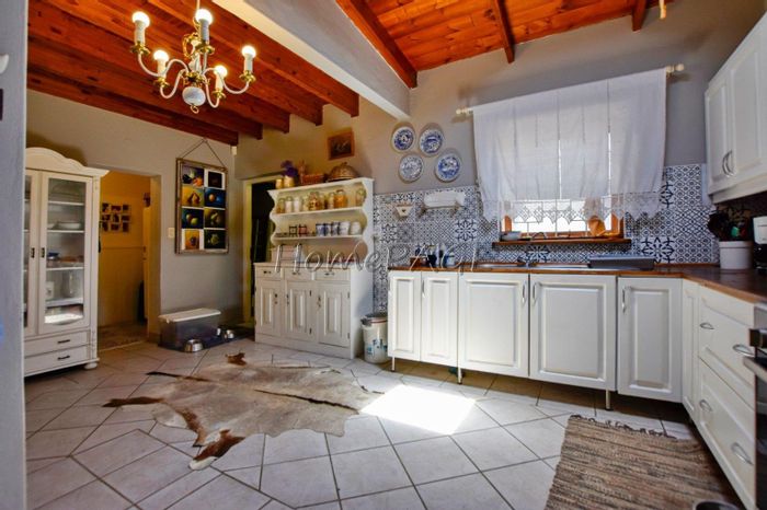
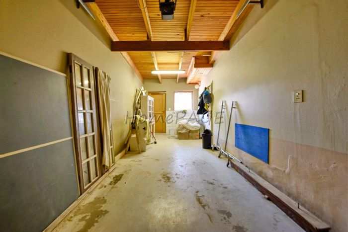
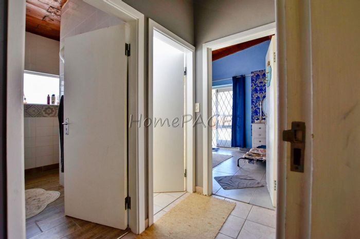
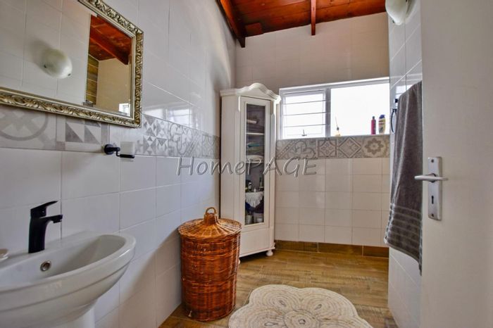
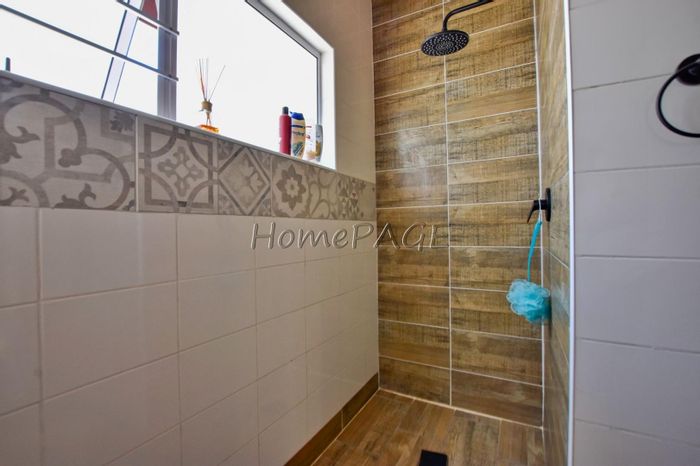
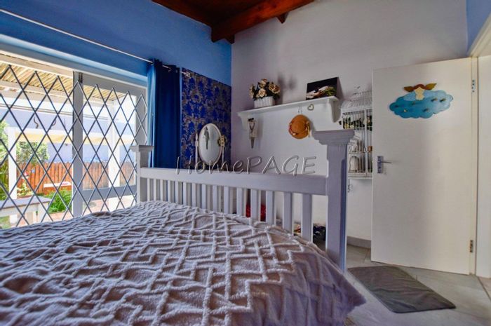
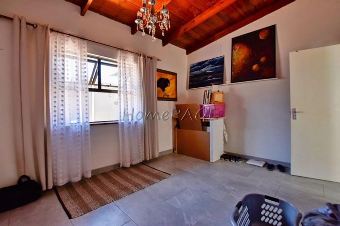
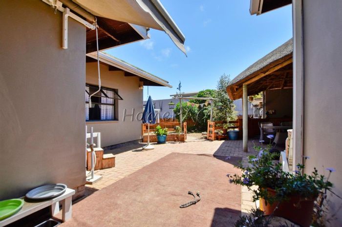
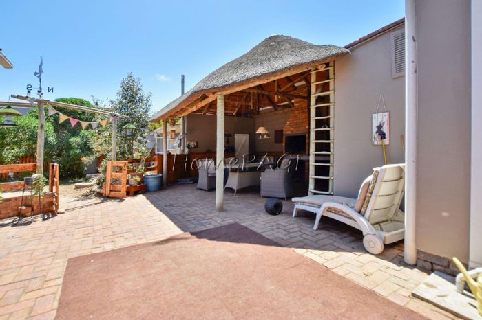
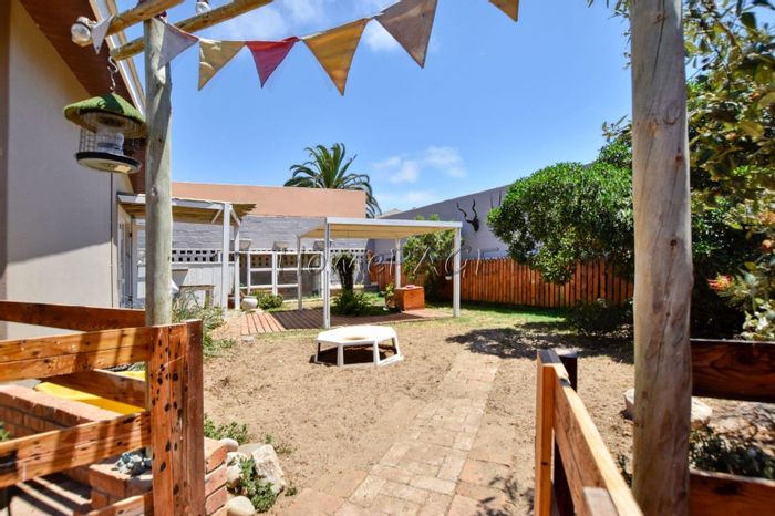
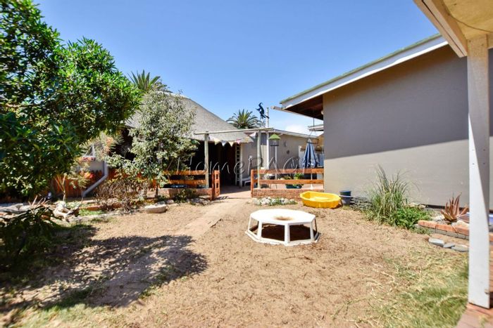
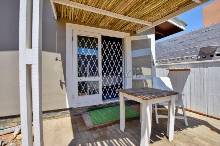
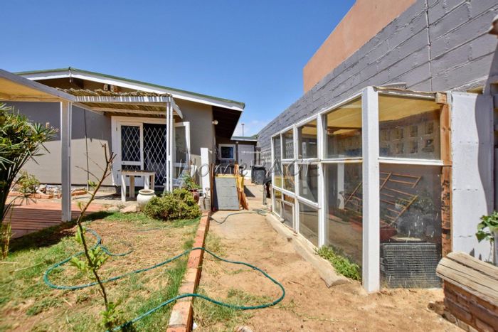
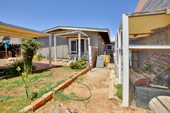
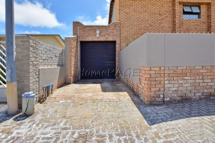
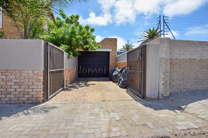
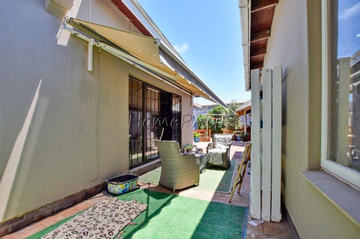
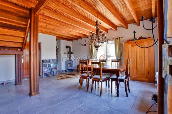
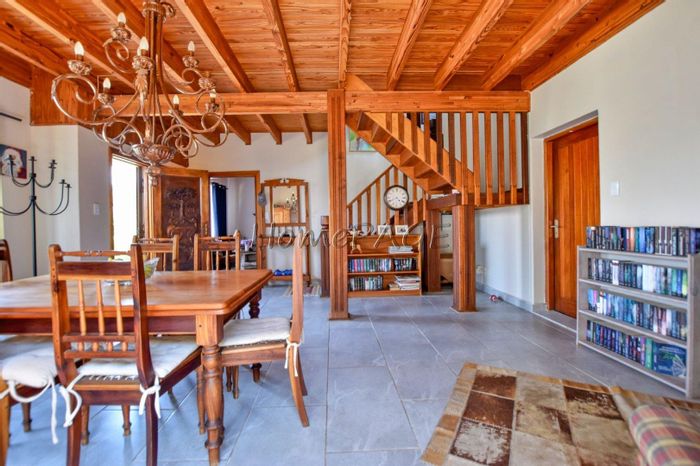
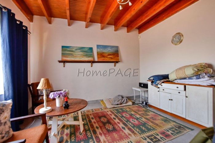
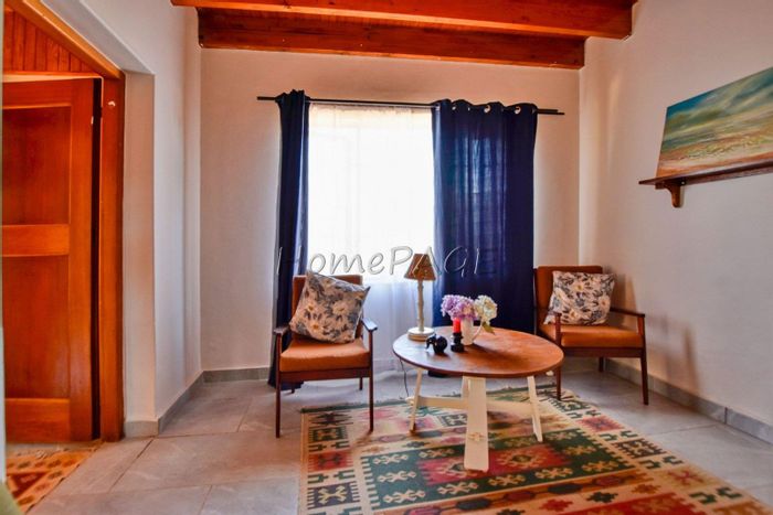
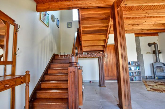
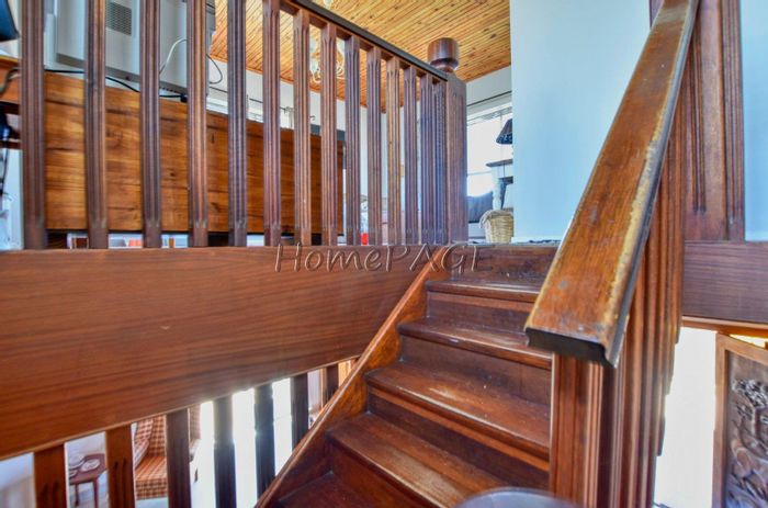
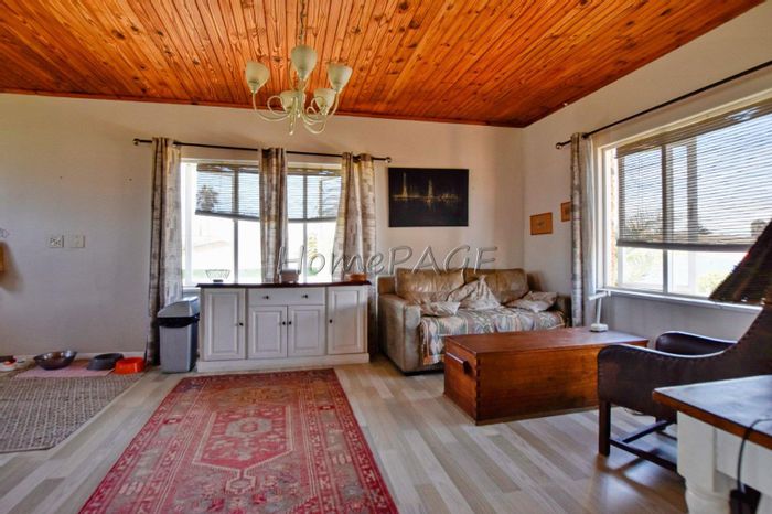
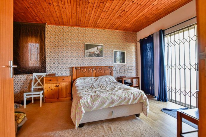
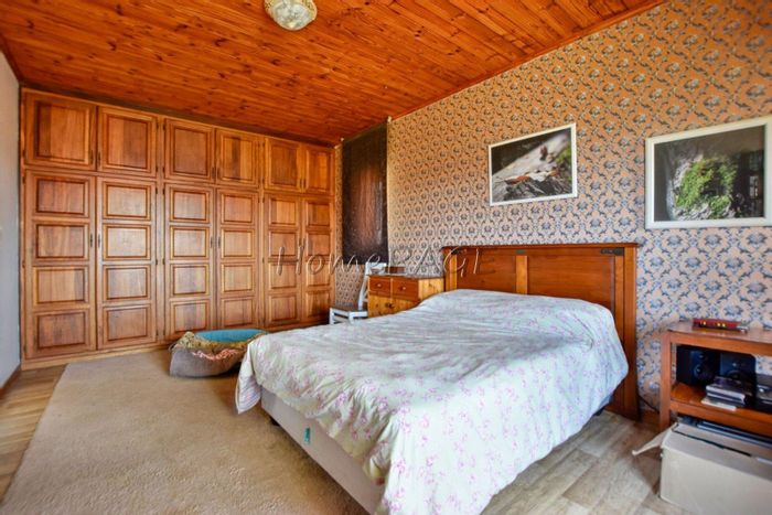
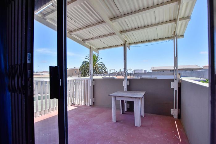
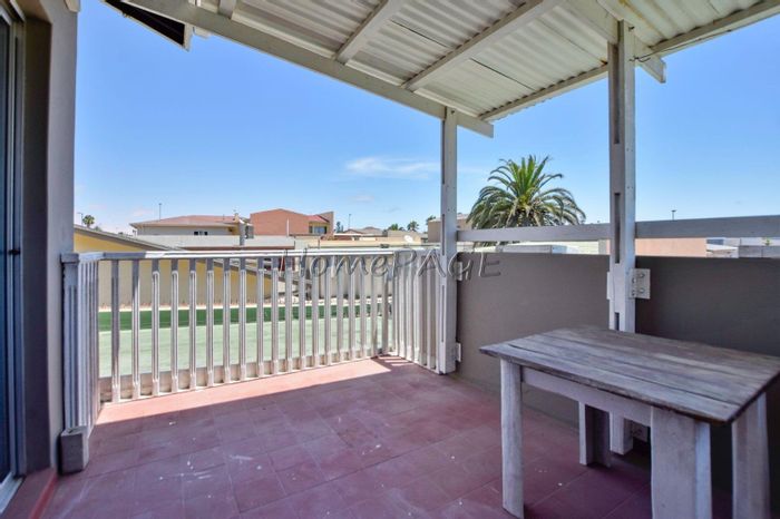
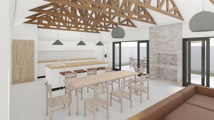
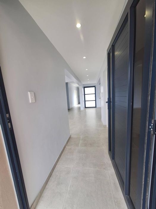
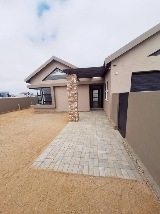
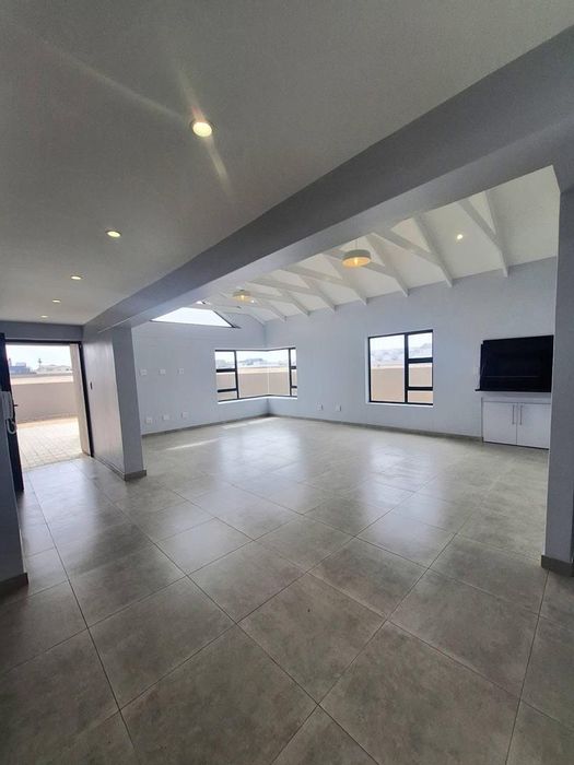
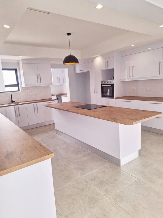
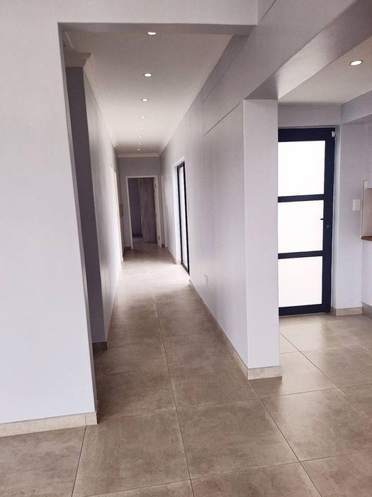
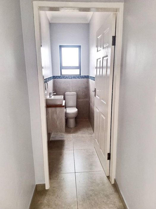
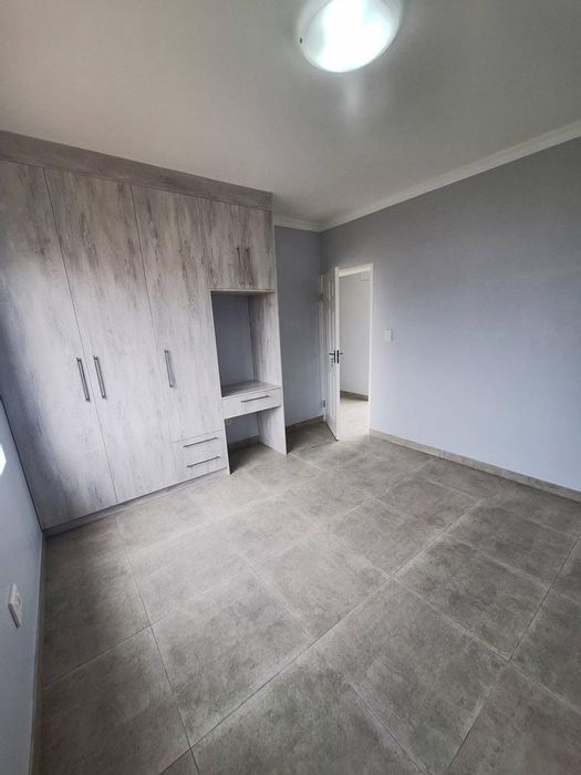
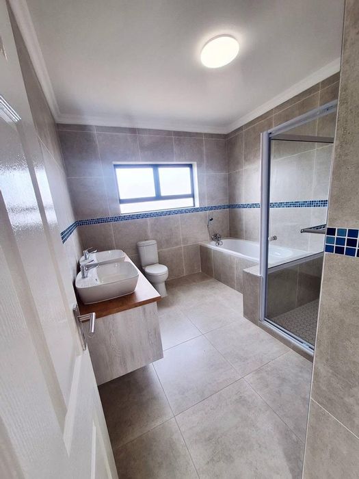
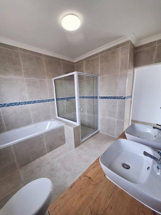
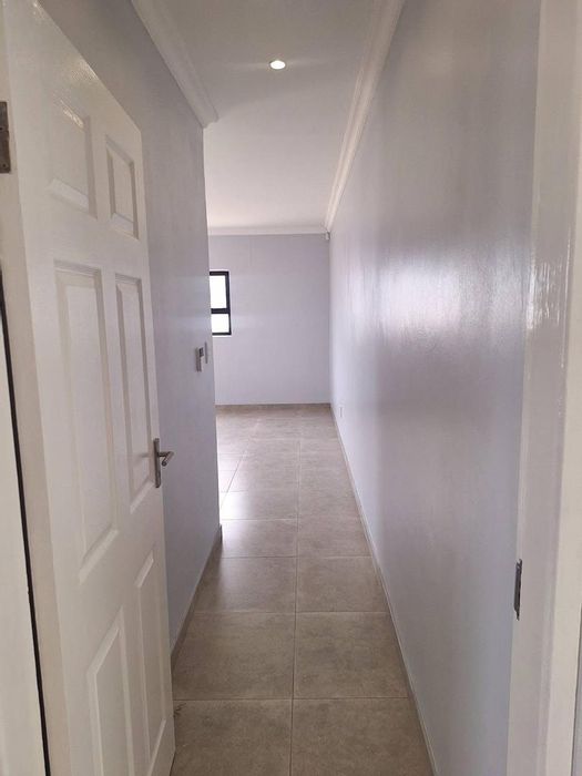
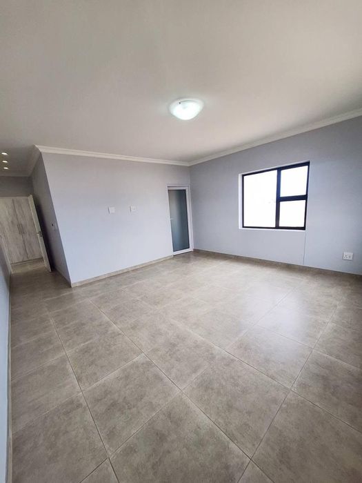
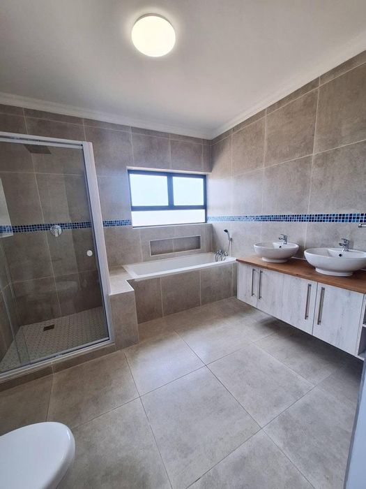
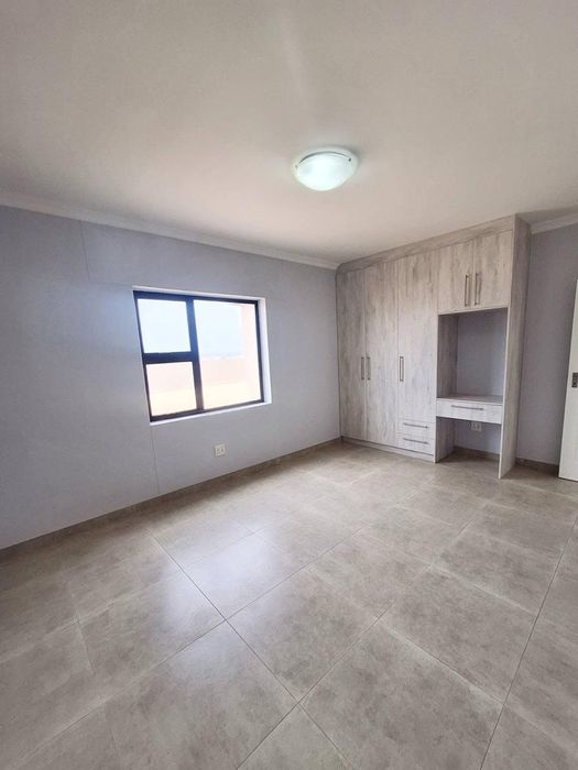
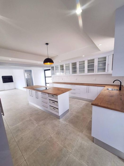
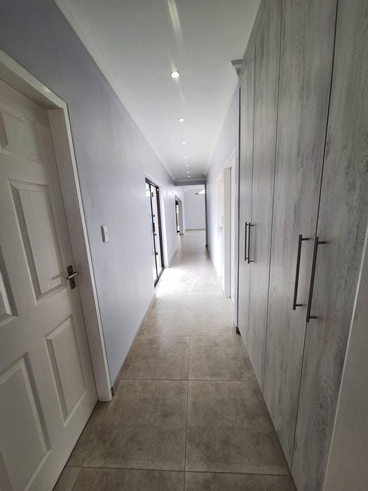
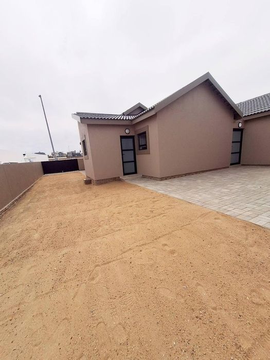
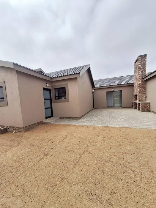
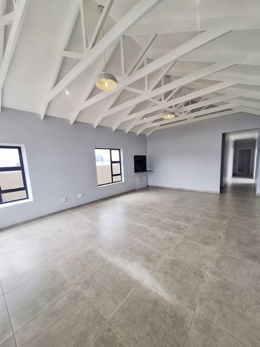
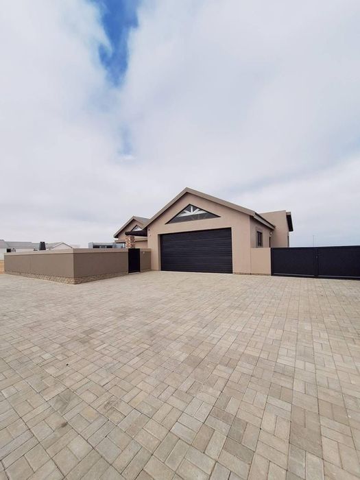
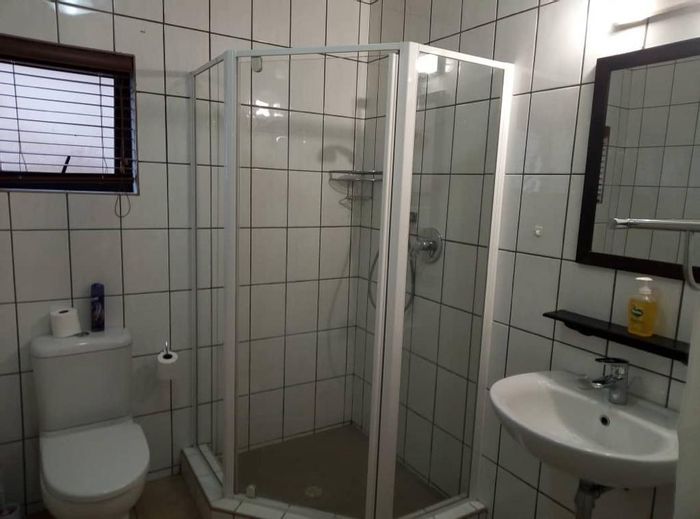
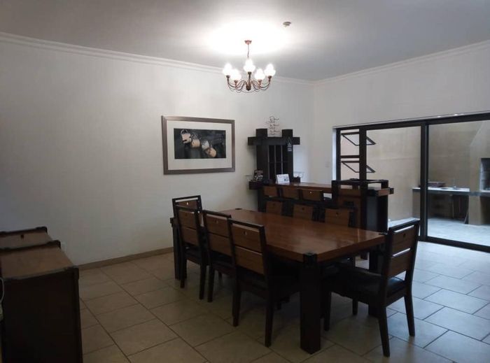
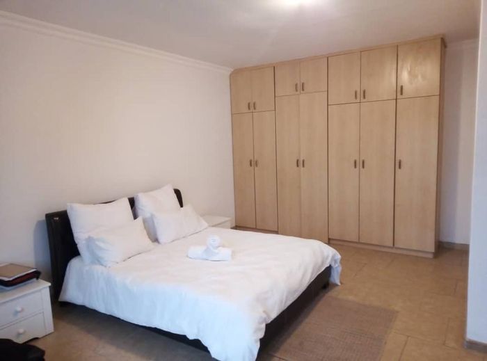
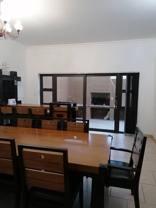
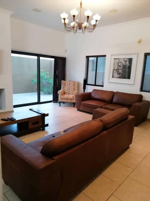
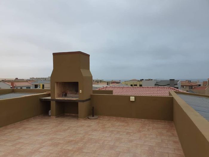
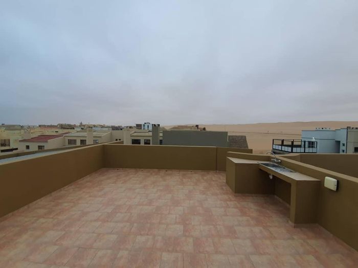
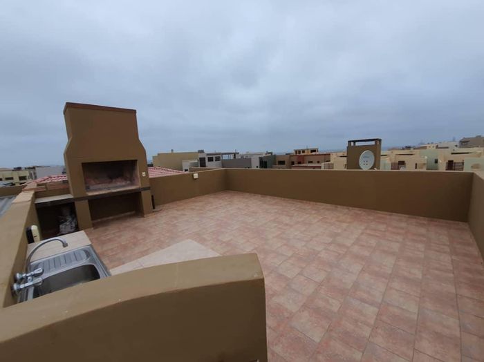
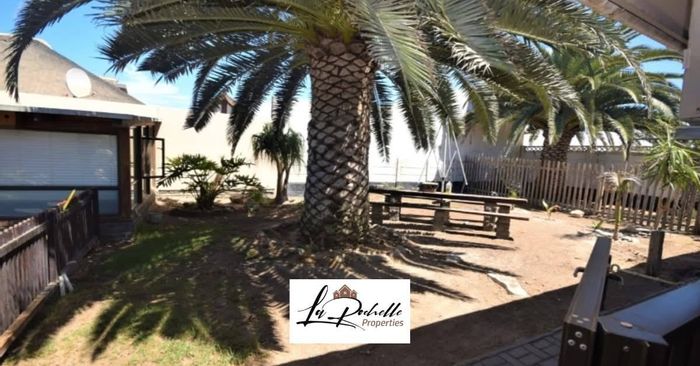
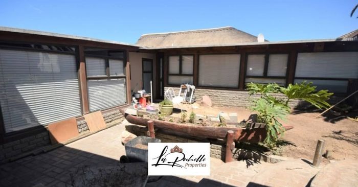
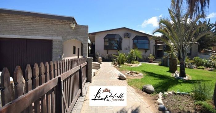
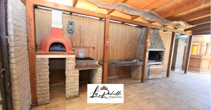
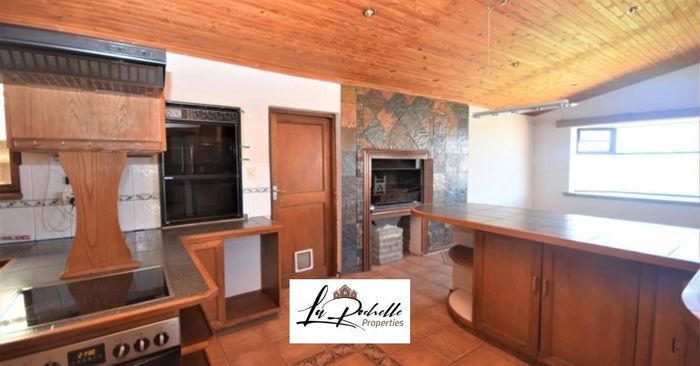
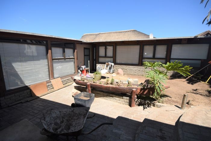
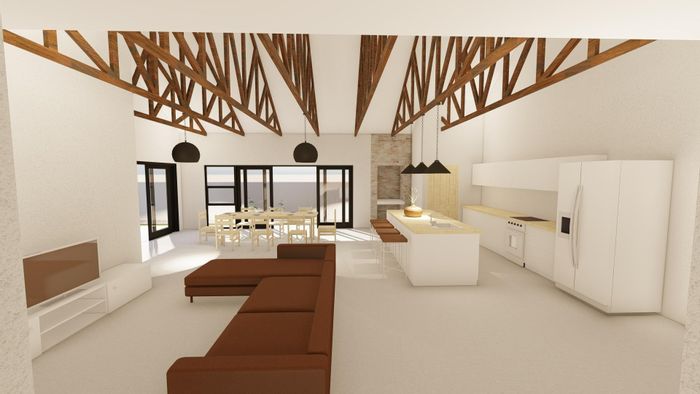
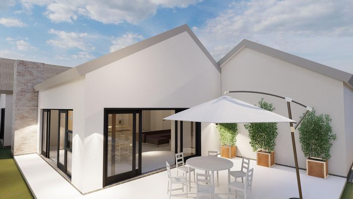
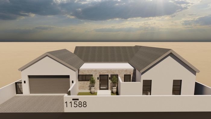
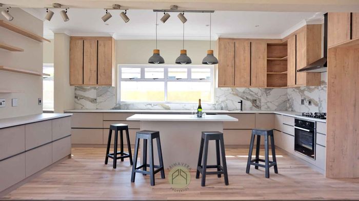
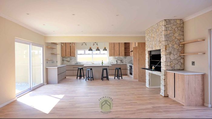
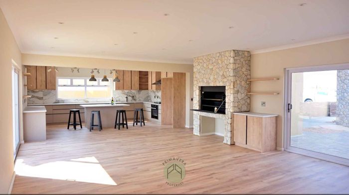
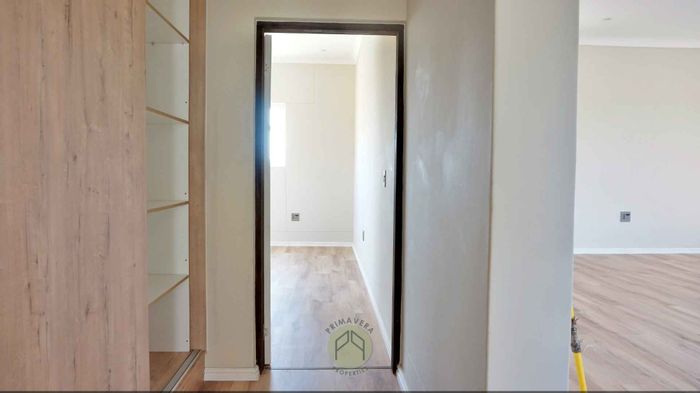
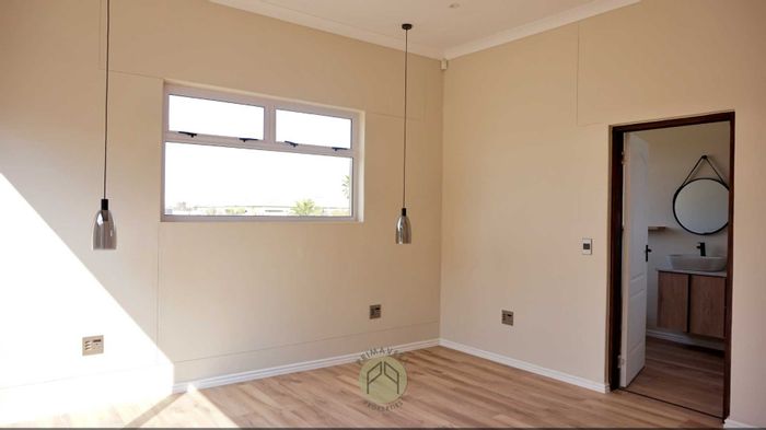
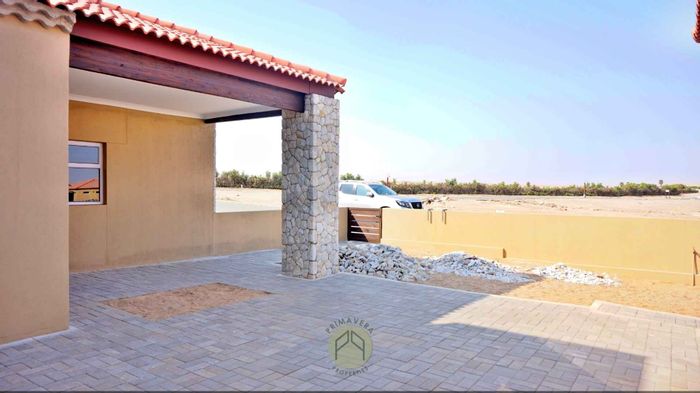
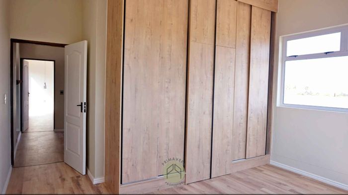
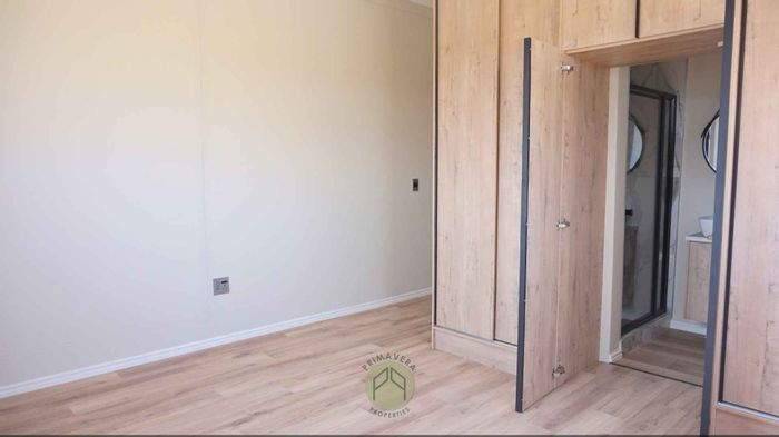
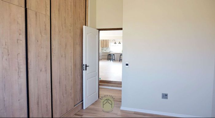
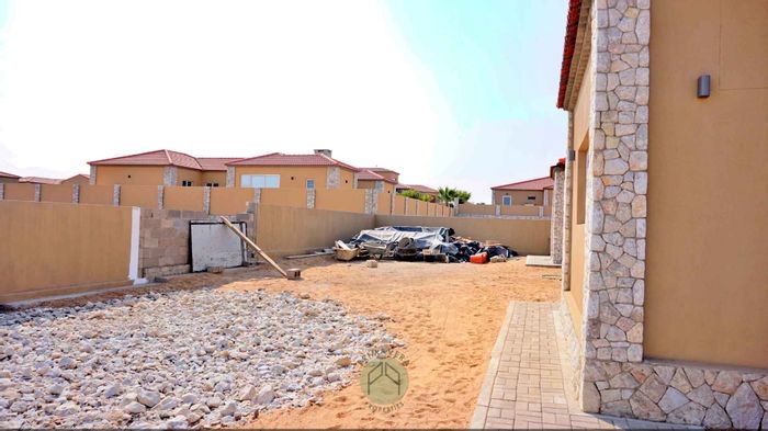
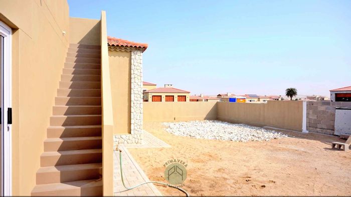
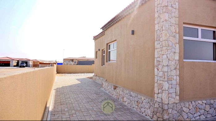
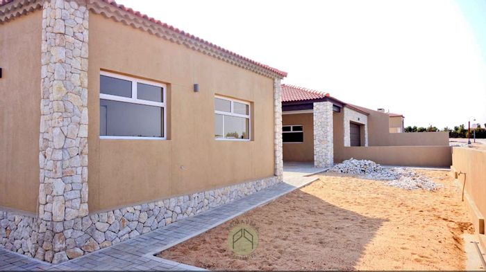
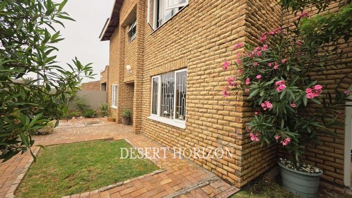
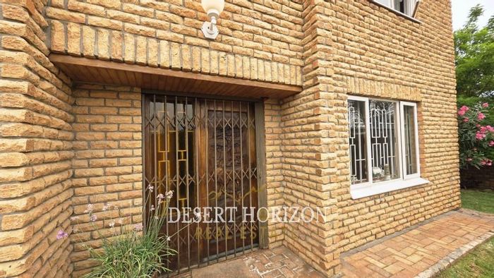
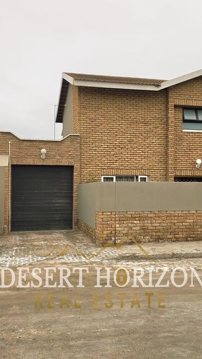
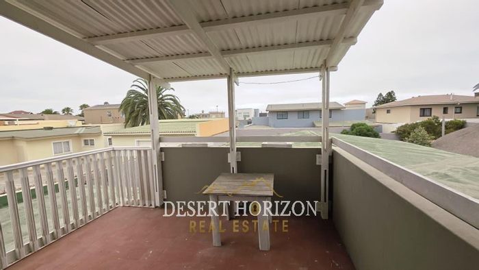
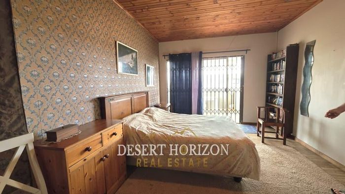
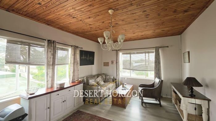
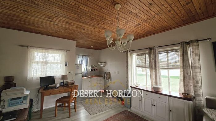
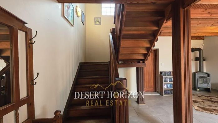
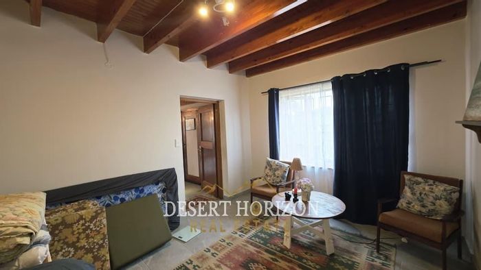
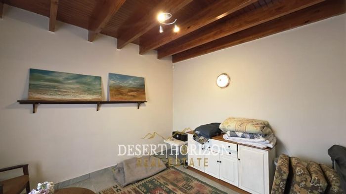
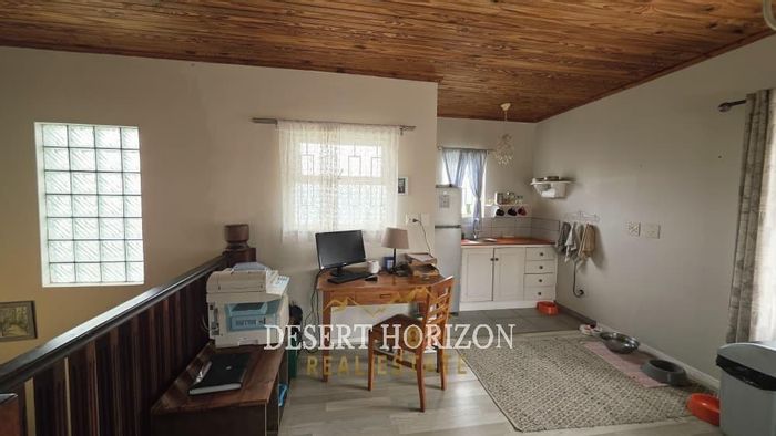
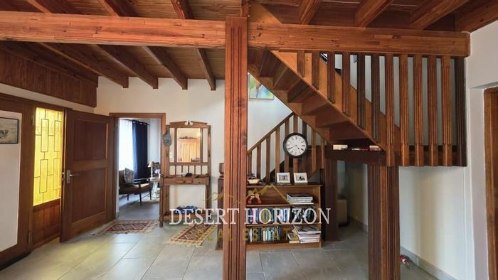
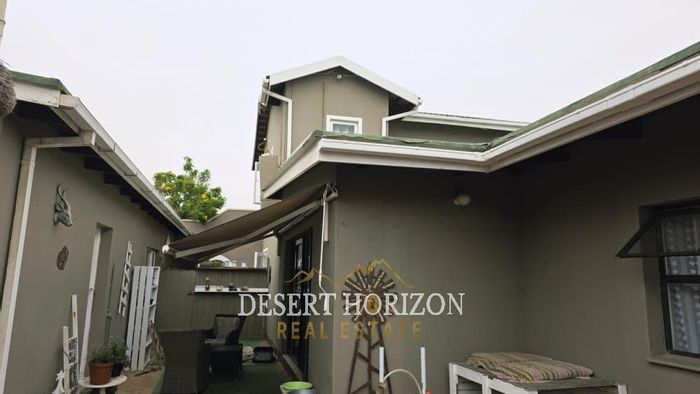
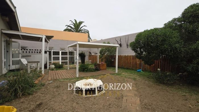
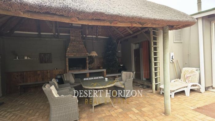
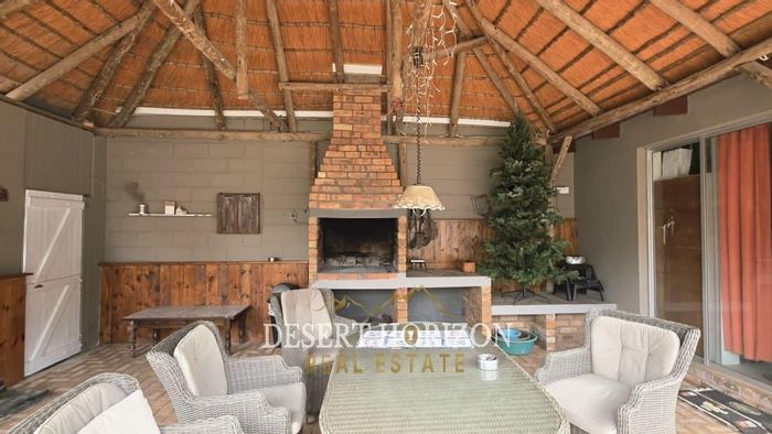
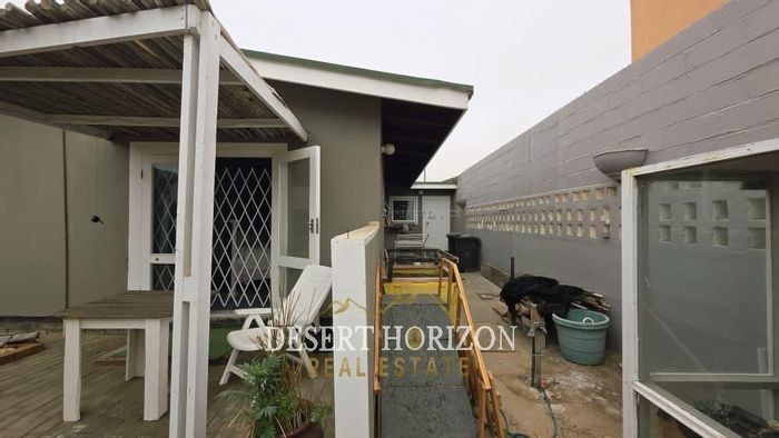
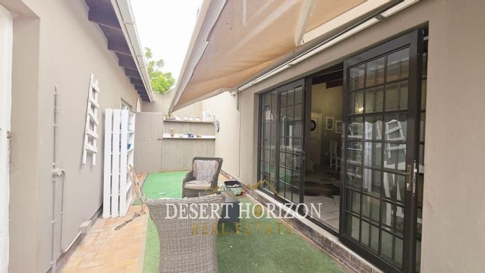
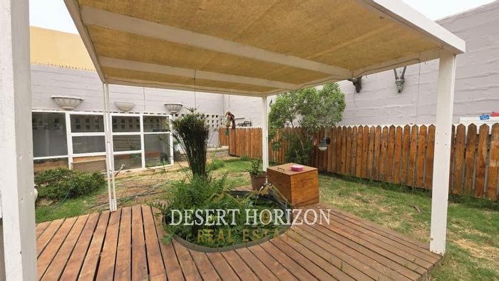
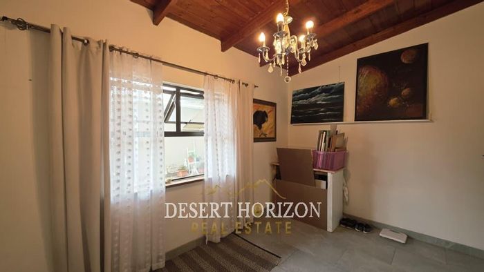
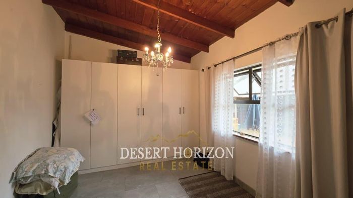
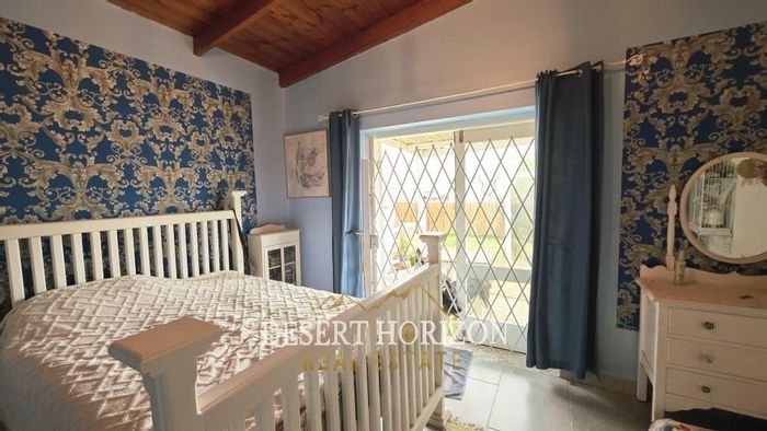
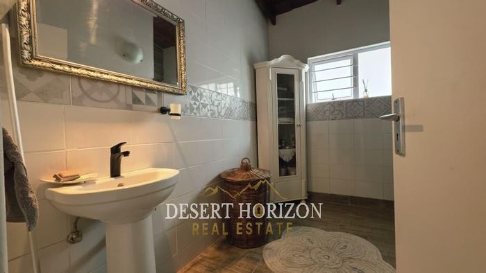
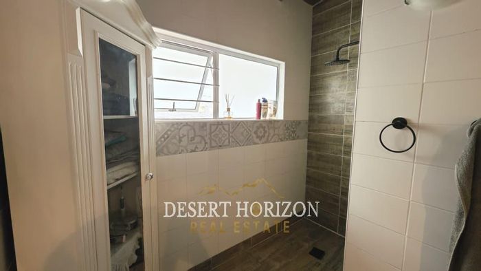
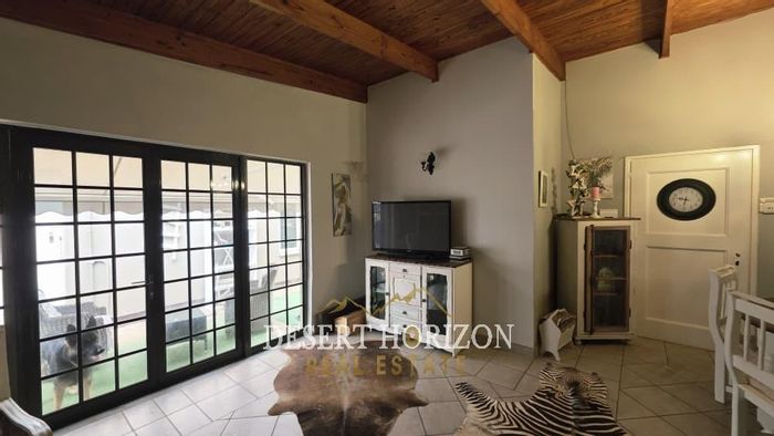
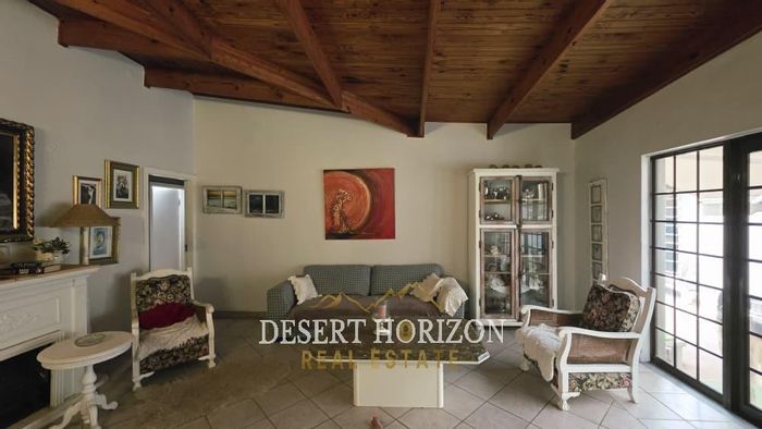
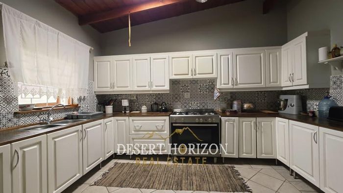
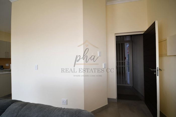
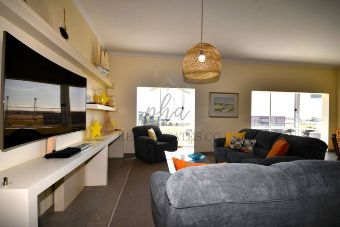
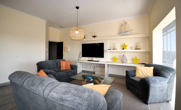
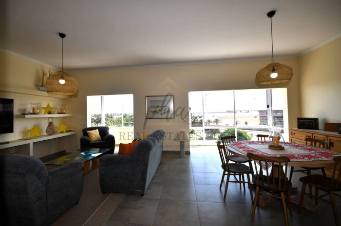
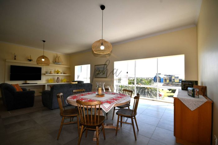
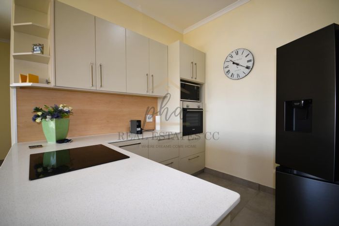
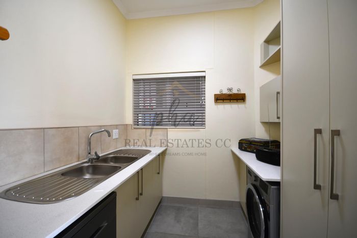
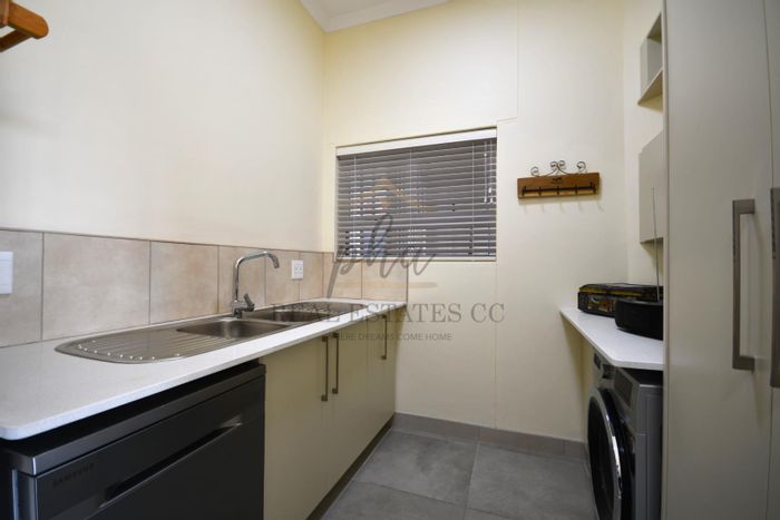
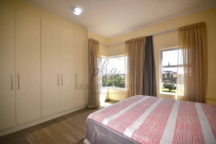
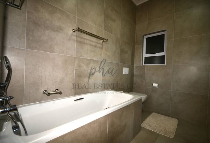
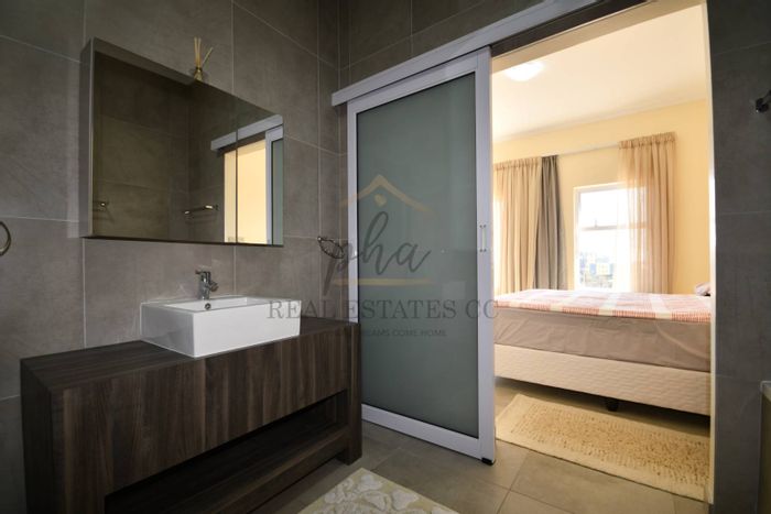
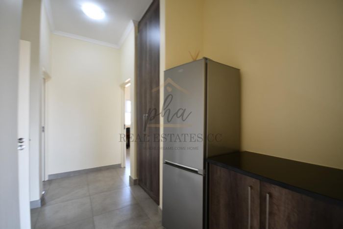
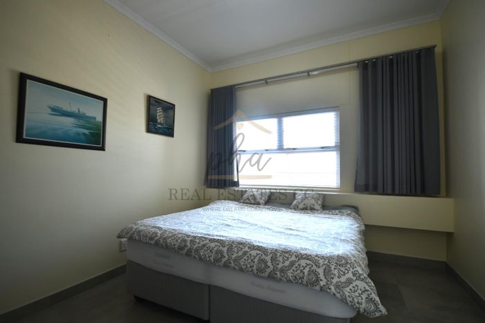
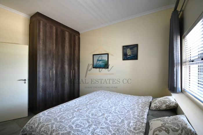
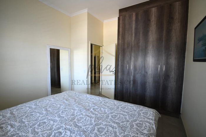
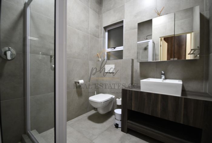
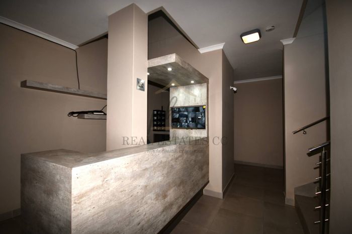
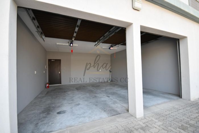
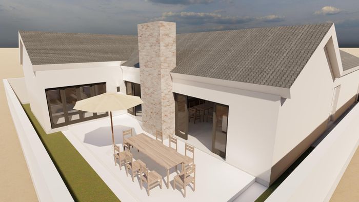
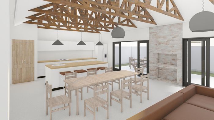
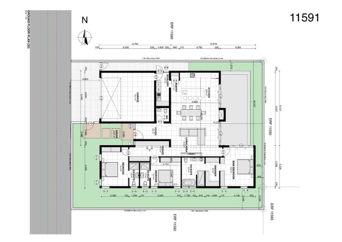
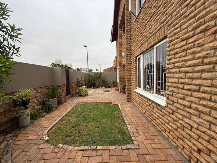
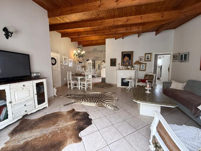
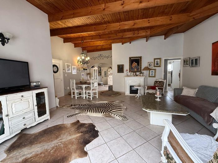
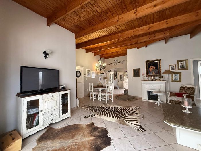
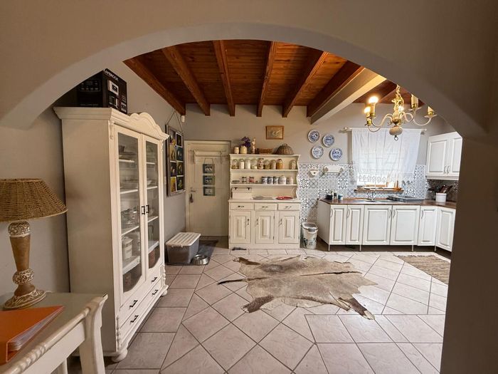
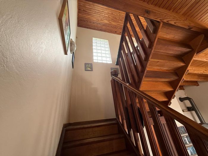
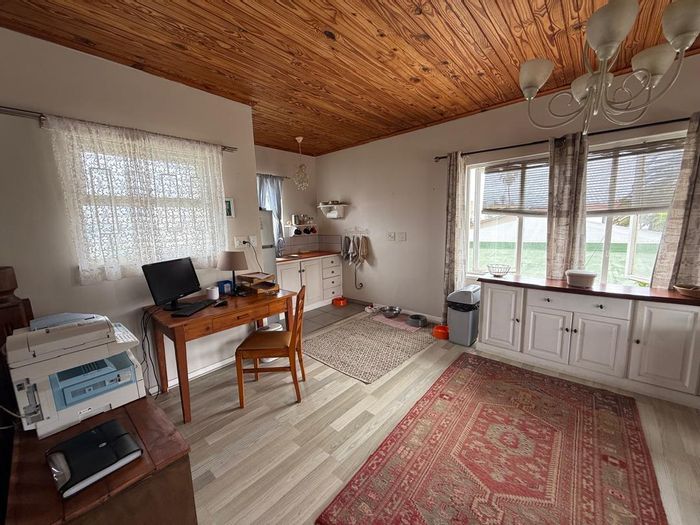
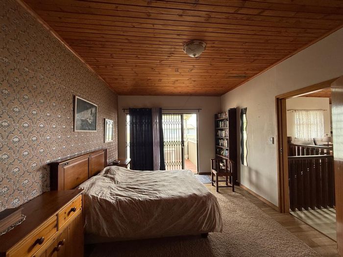
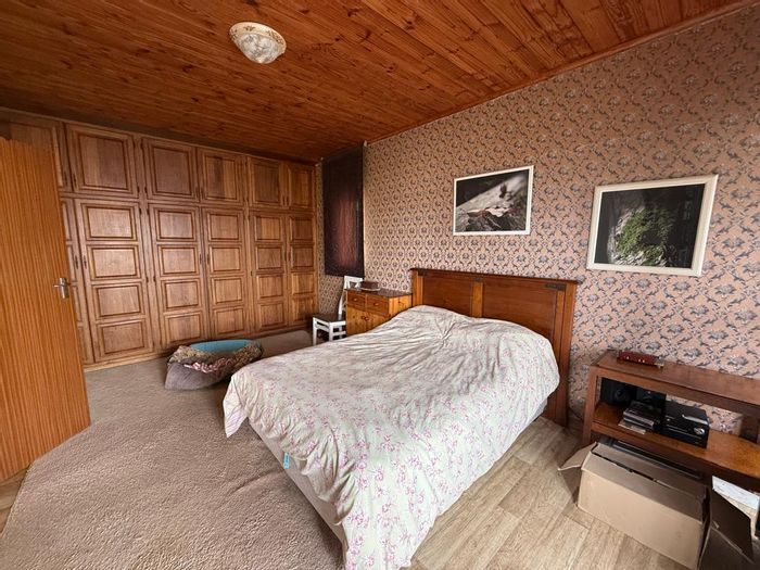
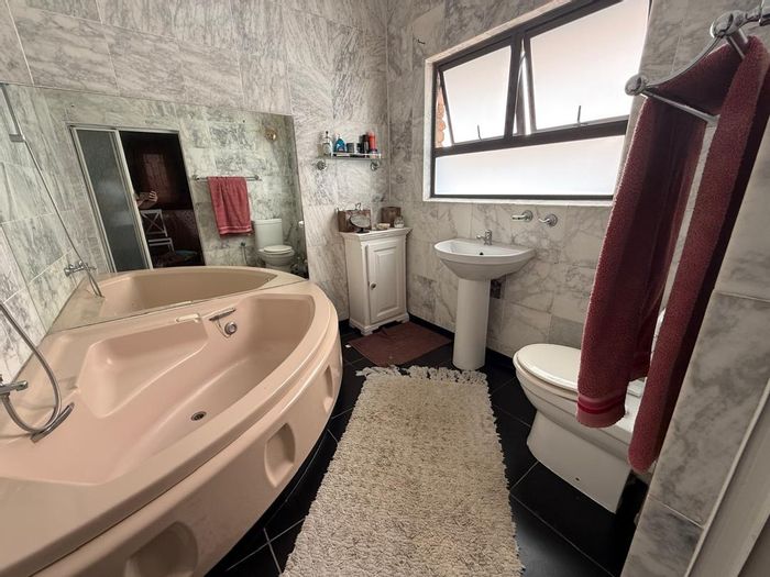
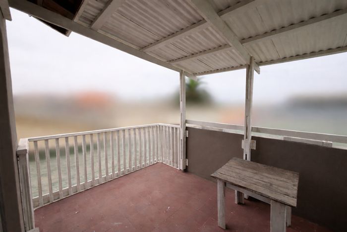
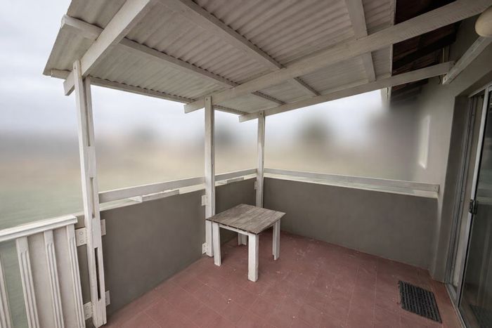
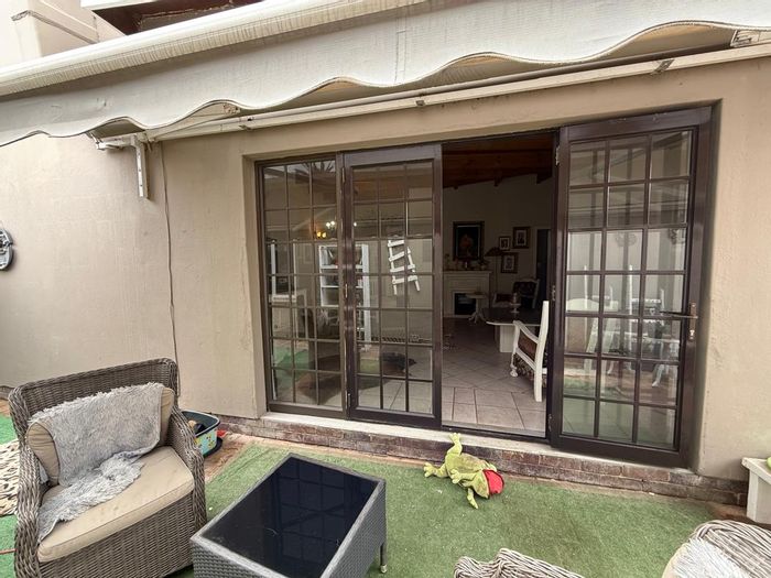
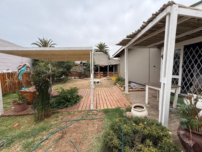
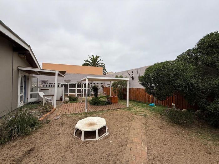
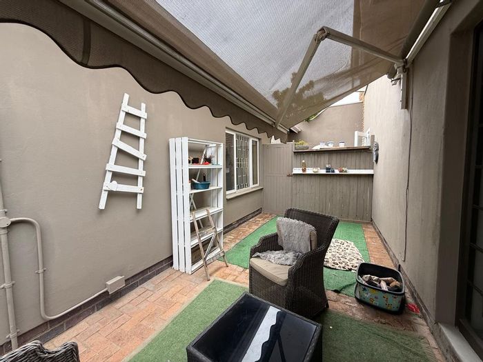
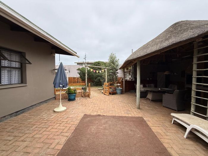
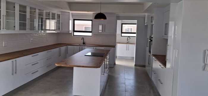
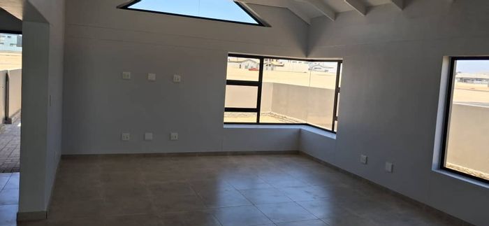
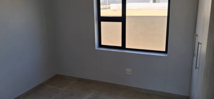
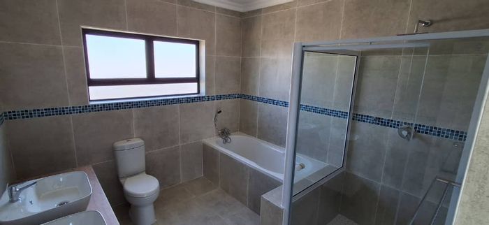
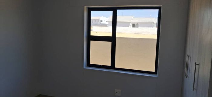
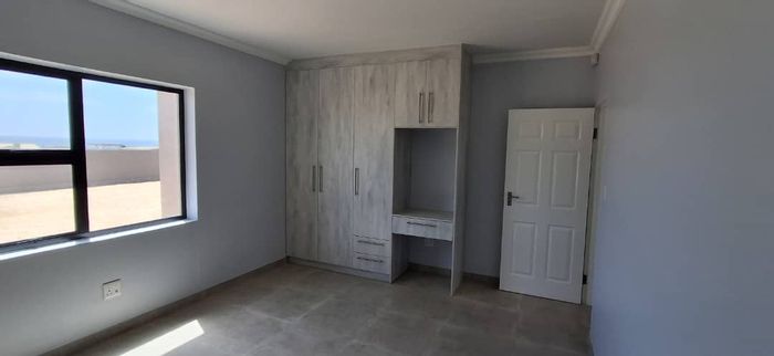
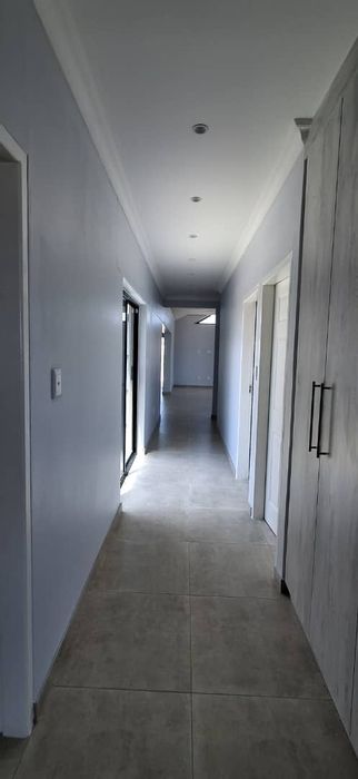
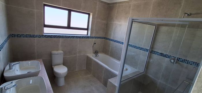
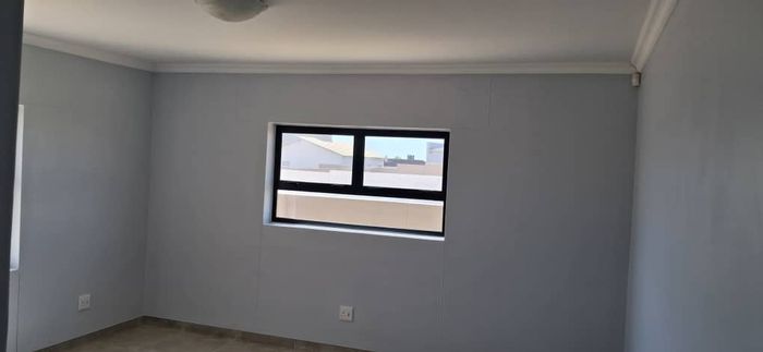
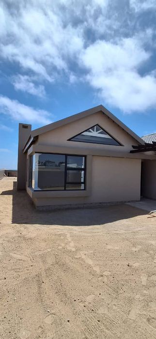
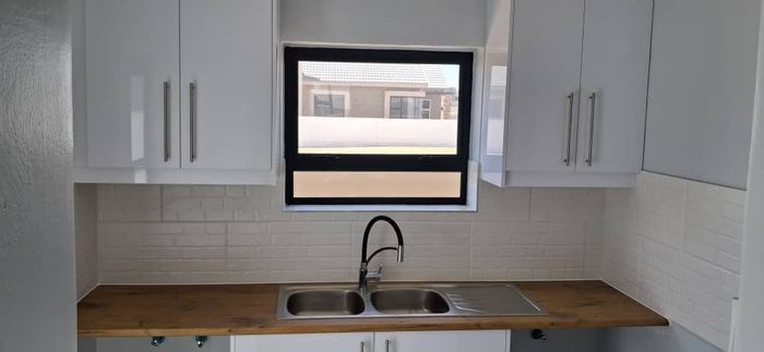
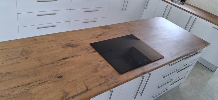
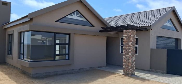
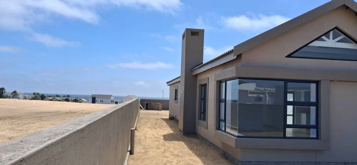
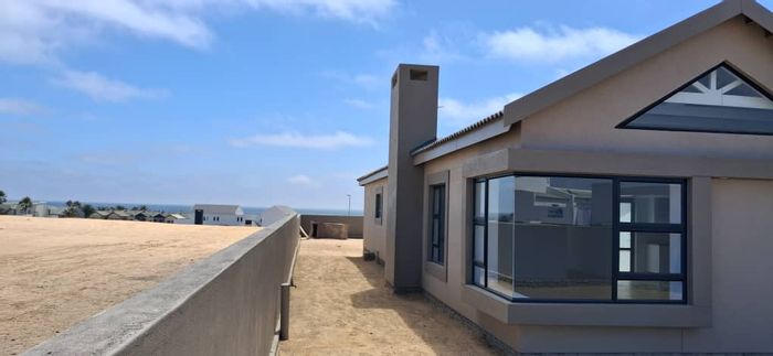
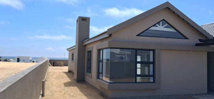
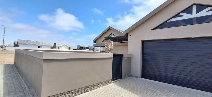
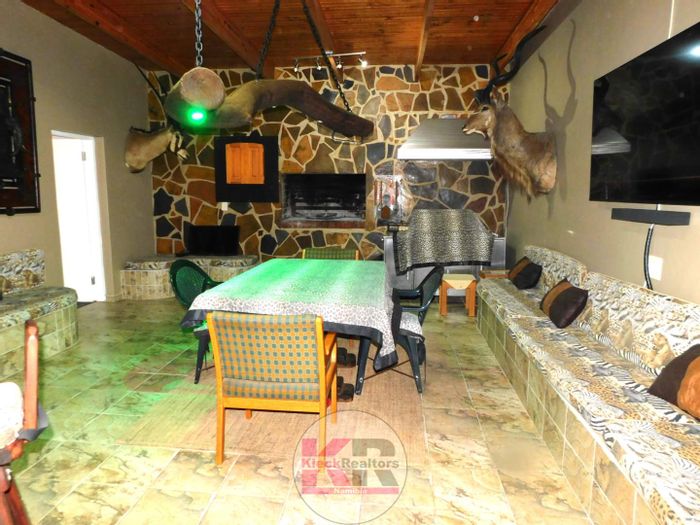
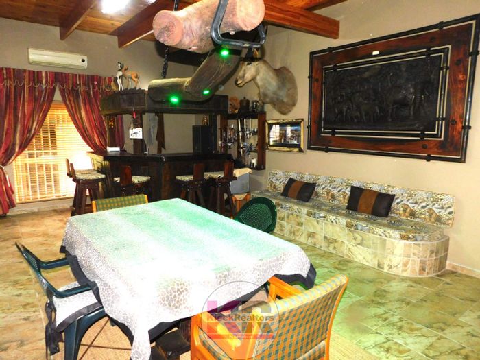
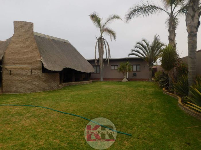
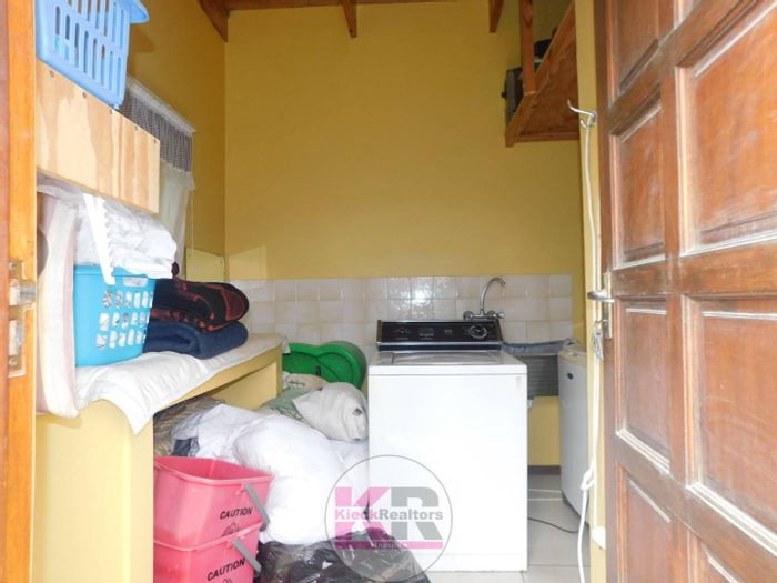
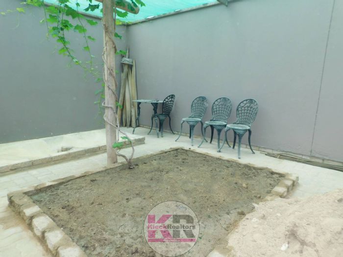
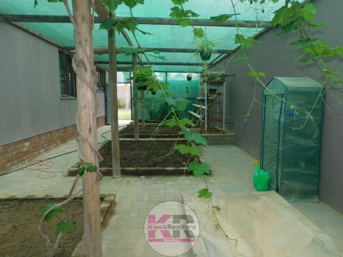
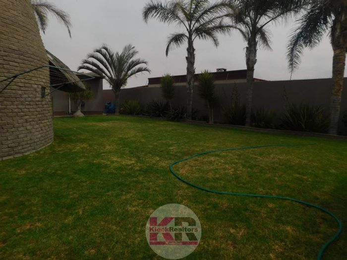
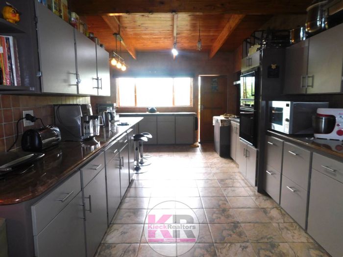
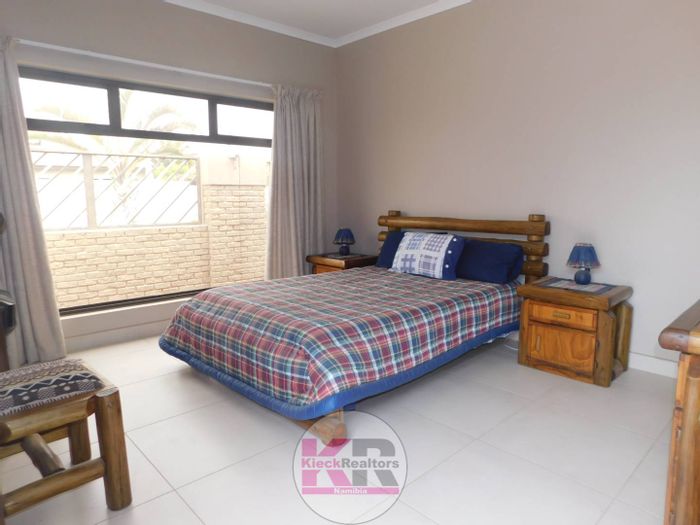
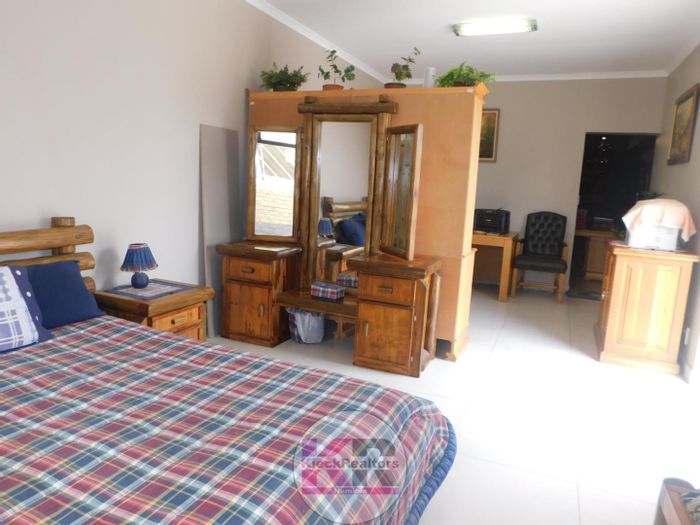
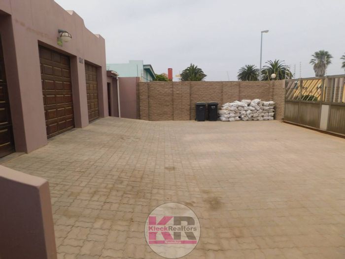
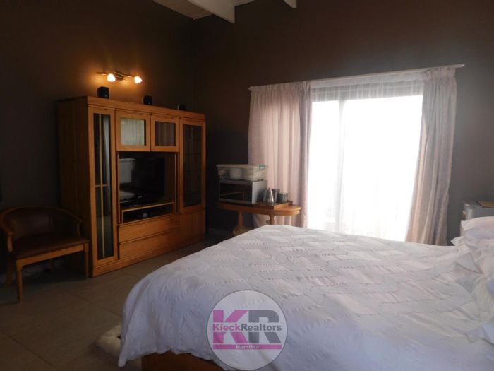
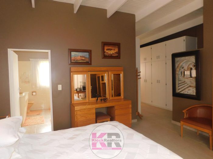
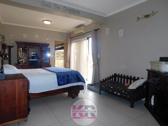
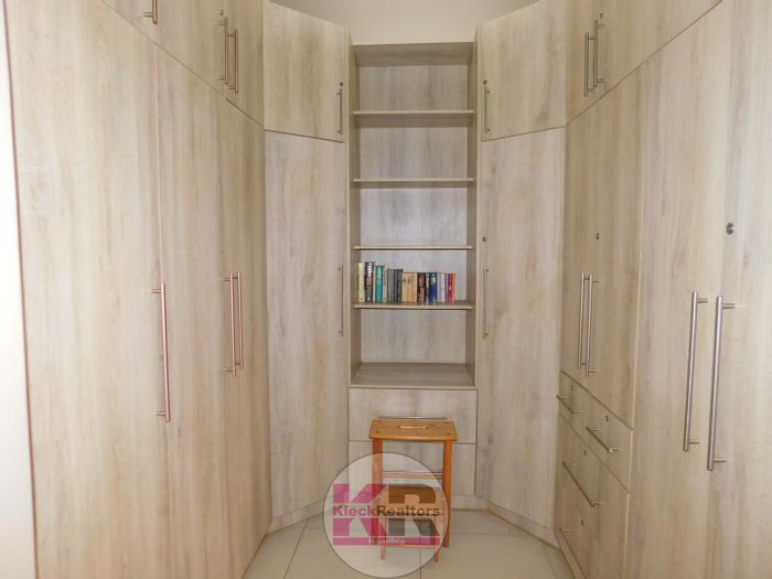
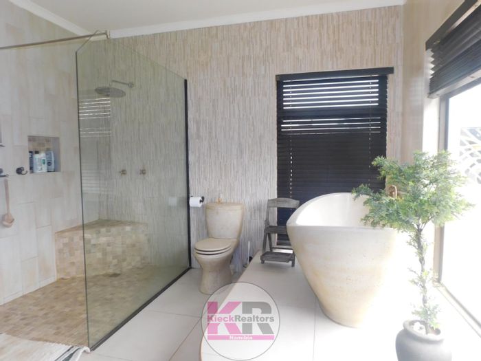
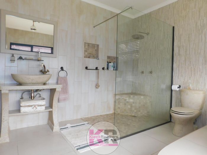
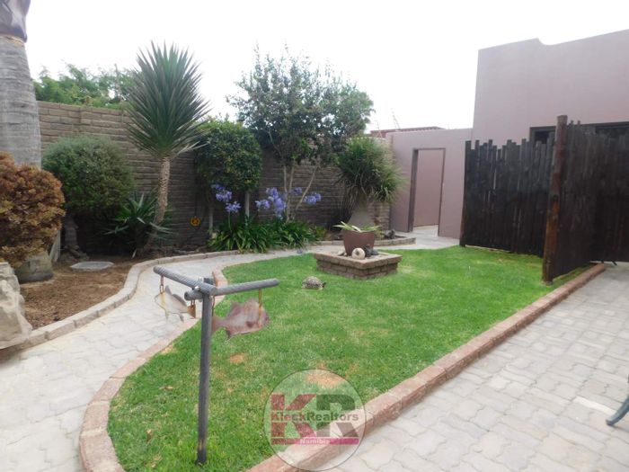
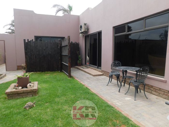
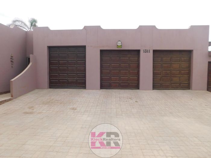
Property in the Erongo Region ranges from apartments and townhouses in central Swakopmund and Walvis Bay to freestanding homes in established suburbs like Vineta and Vogelstrand (Swakopmund) and Meersig and Lagoon (Walvis Bay). Holiday homes are common in Henties Bay and at Long Beach (Langstrand) between the two main towns. Inland, Omaruru and surrounds offer smallholdings, lifestyle farms, and guesthouse opportunities, while Karibib and Usakos provide more affordable residential options. Demand is underpinned by tourism, port logistics, and uranium mining near Arandis, suiting both owner-occupiers and rental investors.
Conclusion
With its blend of coastal living, solid infrastructure, and access to Namibia’s most striking desert landscapes, the Erongo Region offers a balanced proposition for buyers and investors. From beachside apartments to inland smallholdings, this coastal province provides variety and dependable amenities. Explore current listings and opportunities across the Erongo Region on MyProperty.com.na.